চিত্র:LocationUSA.png
From Wikipedia, the free encyclopedia
এই প্রাকদর্শনের আকার: ৮০০ × ৩৫২ পিক্সেল। অন্যান্য আকারসমূহ: ৩২০ × ১৪১ পিক্সেল | ৬৪০ × ২৮২ পিক্সেল | ১,৪২৭ × ৬২৮ পিক্সেল।
পূর্ণ রেজোলিউশন (১,৪২৭ × ৬২৮ পিক্সেল, ফাইলের আকার: ২৯ কিলোবাইট, এমআইএমই ধরন: image/png)
| এই ফাইলটি উইকিমিডিয়া কমন্স থেকে নেওয়া। সেখানের বর্ণনা পাতার বিস্তারিত নিম্নে দেখানো হলো। (সম্পাদনা)
|
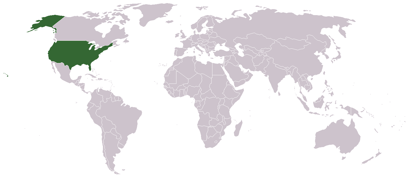
A country locator map for the United States created by Aris Katsaris

|
এই নথি অনুলিপি, বিতরণ এবং/বা পরিবর্তন করার অনুমতি ফ্রি সফটওয়্যার ফাউন্ডেশন কর্তৃক প্রকাশিত গনু ফ্রি ডকুমেন্টেশন লাইসেন্স, সংস্করণ ১.২ বা তার পরবর্তী সংস্করণের আওতায় অনুমতিপ্রাপ্ত; যে কোনো রকম অনুচ্ছেদ পরিবর্তন, সম্মুখ-প্রচ্ছদের লেখা, পিছন-প্রচ্ছদের লেখা পরিবর্তন করা ছাড়াই। এই লাইসেন্সের একটি অনুলিপি গনু ফ্রি ডকুমেন্টেশন লাইসেন্স শিরোনামের অনুচ্ছেদে অন্তর্ভুক্ত করা আছে।http://www.gnu.org/copyleft/fdl.htmlGFDLGNU Free Documentation Licensetruetrue |
| এই ফাইলটি ক্রিয়েটিভ কমন্স অ্যাট্রিবিউশন-শেয়ার অ্যালাইক ৩.০ আনপোর্টেড লাইসেন্সের আওতায় লাইসেন্সকৃত। | ||
| ||
| এই লাইসেন্স ট্যাগটি জিএফডিএল লাইসেন্স হালনাগাদের অংশ হিসেবে এই ফাইলে সংযুক্ত হয়েছে।http://creativecommons.org/licenses/by-sa/3.0/CC BY-SA 3.0Creative Commons Attribution-Share Alike 3.0truetrue |


মূল আপলোড লগ
- Legend: (cur) = this is the current file, (del) = delete this old version, (rev) = revert to this old version.
- Click on date to download the file or see the image uploaded on that date.
- (Delete all revisions of this file) (cur) 10:32, September 17, 2005 . . Redwolf24 . . 250x115 (12649 bytes) (Reverted to earlier revision)
- (del) (rev) 13:15, August 4, 2005 . . Knolls . . 250x115 (12649 bytes) (Reverted to earlier revision)
- (del) (rev) 02:14, June 23, 2005 . . Alex12 3 . . 250x115 (16894 bytes) (Reverted to earlier revision)
- (del) (rev) 02:14, June 23, 2005 . . Alex12 3 . . 250x115 (12649 bytes) (Reverted to earlier revision)
- (del) (rev) 06:00, September 26, 2004 . . Siroxo . . 250x115 (16894 bytes) (minor fix to alaska color)
- (del) (rev) 11:33, July 27, 2004 . . Aris Katsaris . . 250x115 (12649 bytes) (locator map, created modified from other Wikipedia locator maps)
ক্যাপশন
এই ফাইল কি প্রতিনিধিত্ব করছে তার এক লাইন ব্যাখ্যা যোগ করুন
এই ফাইলে চিত্রিত আইটেমগুলি
যা চিত্রিত করে
ফাইলের ইতিহাস
যেকোনো তারিখ/সময়ে ক্লিক করে দেখুন ফাইলটি তখন কী অবস্থায় ছিল।
| তারিখ/সময় | সংক্ষেপচিত্র | মাত্রা | ব্যবহারকারী | মন্তব্য | |
|---|---|---|---|---|---|
| বর্তমান | ১১:০৭, ৯ জুন ২০০৬ | | ১,৪২৭ × ৬২৮ (২৯ কিলোবাইট) | Aivazovsky~commonswiki | |
| ২০:০৫, ২ মার্চ ২০০৬ |  | ২৫০ × ১১৫ (১২ কিলোবাইট) | Golbez | Reverted to earlier revision | |
| ১৩:৫৮, ২ মার্চ ২০০৬ |  | ২৫০ × ১১৫ (১৪ কিলোবাইট) | Mr.Do!~commonswiki | A country locator map for the United States created by Mr. 003 {{GFDL}} File history Legend: (cur) = this is the current file, (del) = delete this old version, (rev) = revert to this old version. Click on date | |
| ০৬:১৬, ১ ডিসেম্বর ২০০৫ |  | ২৫০ × ১১৫ (১২ কিলোবাইট) | Pamri | uploaded current version from en. | |
| ১৭:৩৫, ৩১ ডিসেম্বর ২০০৪ |  | ২৫০ × ১১৫ (১৬ কিলোবাইট) | Bjarki S |
সংযোগসমূহ
নিচের পৃষ্ঠা(গুলো) থেকে এই ছবিতে সংযোগ আছে:
ফাইলের বৈশ্বিক ব্যবহার
নিচের অন্যান্য উইকিগুলো এই ফাইলটি ব্যবহার করে:
- az.wiktionary.org-এ ব্যবহার
- beta.wikiversity.org-এ ব্যবহার
- bg.wikipedia.org-এ ব্যবহার
- bn.wikibooks.org-এ ব্যবহার
- br.wikipedia.org-এ ব্যবহার
- bs.wikiquote.org-এ ব্যবহার
- ca.wikipedia.org-এ ব্যবহার
- ca.wiktionary.org-এ ব্যবহার
- cdo.wikipedia.org-এ ব্যবহার
- chy.wikipedia.org-এ ব্যবহার
- cs.wikipedia.org-এ ব্যবহার
- cv.wikipedia.org-এ ব্যবহার
- cy.wikipedia.org-এ ব্যবহার
- de.wikipedia.org-এ ব্যবহার
- de.wikinews.org-এ ব্যবহার
- de.wiktionary.org-এ ব্যবহার
- el.wiktionary.org-এ ব্যবহার
- en.wikipedia.org-এ ব্যবহার
- en.wikibooks.org-এ ব্যবহার
- en.wikiversity.org-এ ব্যবহার
- en.wikivoyage.org-এ ব্যবহার
- en.wiktionary.org-এ ব্যবহার
- es.wikipedia.org-এ ব্যবহার
- es.wikinews.org-এ ব্যবহার
- et.wikipedia.org-এ ব্যবহার
- eu.wiktionary.org-এ ব্যবহার
- frp.wikipedia.org-এ ব্যবহার
- fr.wikipedia.org-এ ব্যবহার
- fr.wikibooks.org-এ ব্যবহার
- fr.wikinews.org-এ ব্যবহার
এই ফাইলের অন্যান্য বৈশ্বিক ব্যবহার দেখুন।