File:Colonne_Doriche.JPG
From Wikipedia, the free encyclopedia
Size of this preview: 450 × 600 pixels. Other resolutions: 180 × 240 pixels | 360 × 480 pixels | 576 × 768 pixels | 768 × 1,024 pixels | 1,536 × 2,048 pixels | 3,672 × 4,896 pixels.
Original file (3,672 × 4,896 pixels, file size: 6.61 MB, MIME type: image/jpeg)
| This is a file from the Wikimedia Commons. Information from its description page there is shown below. Commons is a freely licensed media file repository. You can help. |
Summary
| DescriptionColonne Doriche.JPG |
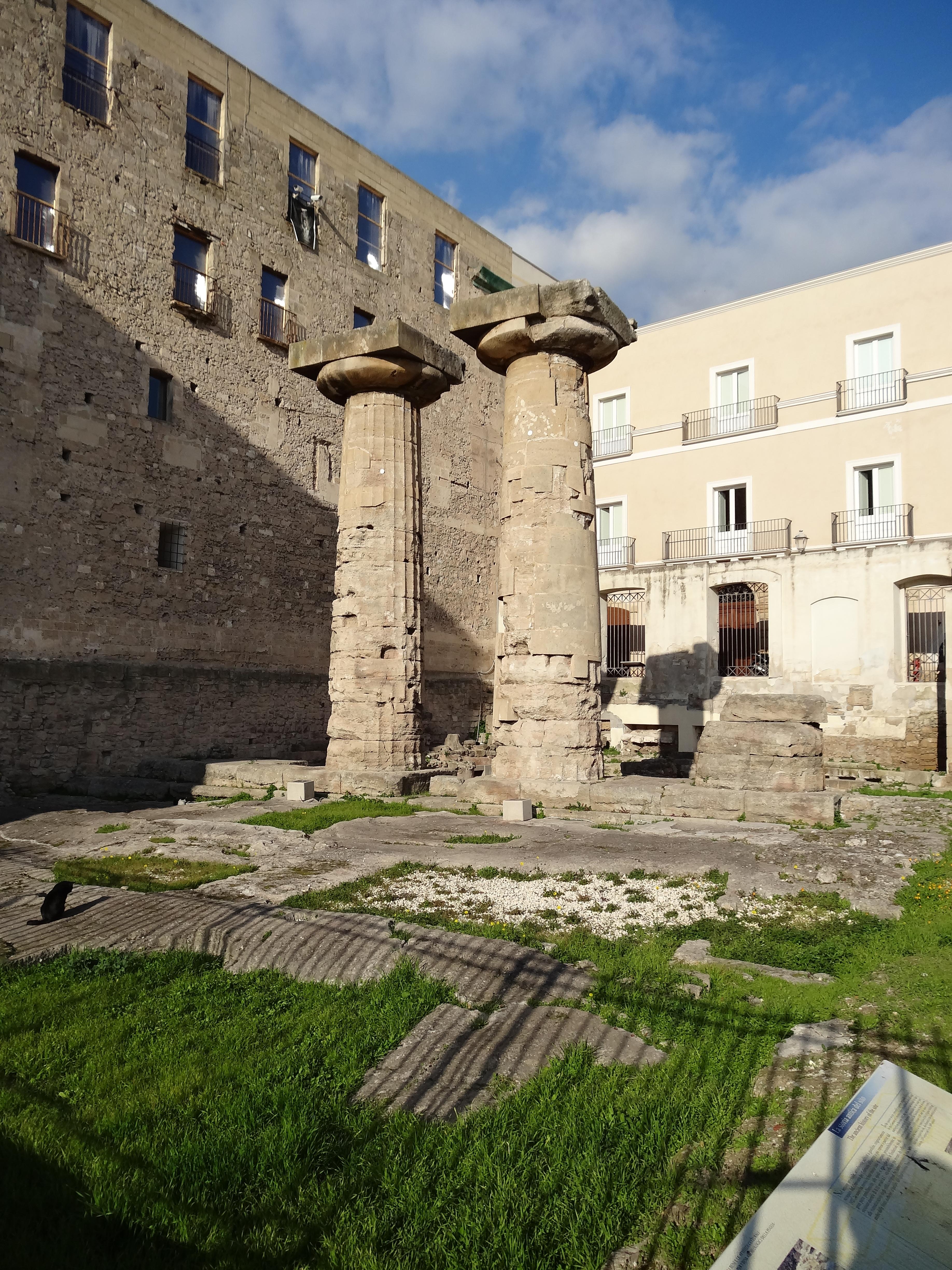
English: Colonne Doriche |
| Date | |
| Source | Own work |
| Author | Livioandronico2013 |
| Other versions |
|

| Camera location | 40° 28′ 25.12″ N, 17° 13′ 59.06″ E | View this and other nearby images on: OpenStreetMap |
|---|
Licensing
I, the copyright holder of this work, hereby publish it under the following license:
This file is licensed under the Creative Commons Attribution-Share Alike 3.0 Unported license.
- You are free:
- to share – to copy, distribute and transmit the work
- to remix – to adapt the work
- Under the following conditions:
- attribution – You must give appropriate credit, provide a link to the license, and indicate if changes were made. You may do so in any reasonable manner, but not in any way that suggests the licensor endorses you or your use.
- share alike – If you remix, transform, or build upon the material, you must distribute your contributions under the same or compatible license as the original.
Captions
Add a one-line explanation of what this file represents
Tempio Greco
Items portrayed in this file
depicts
some value
23 December 2013
40°28'25.12200"N, 17°13'59.05700"E
image/jpeg
91d91c02460df7f2dd7461e7c7d2b0061183d190
6,930,244 byte
4,896 pixel
3,672 pixel
File history
Click on a date/time to view the file as it appeared at that time.
| Date/Time | Thumbnail | Dimensions | User | Comment | |
|---|---|---|---|---|---|
| current | 00:21, 30 December 2013 | | 3,672 × 4,896 (6.61 MB) | Livioandronico2013 | dritto |
| 12:58, 25 December 2013 |  | 3,672 × 4,896 (6.61 MB) | Livioandronico2013 | User created page with UploadWizard |
File usage
The following pages on the English Wikipedia use this file (pages on other projects are not listed):
Global file usage
The following other wikis use this file:
- Usage on ast.wikipedia.org
- Usage on be-tarask.wikipedia.org
- Usage on be.wikipedia.org
- Usage on bg.wikipedia.org
- Usage on br.wikipedia.org
- Usage on ca.wikipedia.org
- Usage on de.wikipedia.org
- Usage on el.wikipedia.org
- Usage on en.wikivoyage.org
- Usage on eo.wikipedia.org
- Usage on es.wikipedia.org
- Usage on fr.wikipedia.org
- Usage on gl.wikipedia.org
- Usage on hr.wikipedia.org
- Usage on hu.wikipedia.org
- Usage on is.wikipedia.org
- Usage on it.wikipedia.org
- Magna Grecia
- Ordine dorico
- Daunia
- Storia di Taranto
- Principato di Taranto
- Taras (città antica)
- Iapigi
- Peucezi
- Messapi
- Terra di Bari (provincia)
- Storia di Bari
- Mappa di Soleto
- Tempio di Poseidone (Taranto)
- Peucezia
- Storia di Modugno
- Storia di Cerignola
- Storia della Puglia
- Storia del Salento
- Storia di San Severo
- Storia di Brindisi
View more global usage of this file.
Metadata
This file contains additional information, probably added from the digital camera or scanner used to create or digitize it.
If the file has been modified from its original state, some details may not fully reflect the modified file.
| Camera manufacturer | SONY |
|---|---|
| Camera model | DSC-HX20V |
| Exposure time | 1/320 sec (0.003125) |
| F-number | f/8 |
| ISO speed rating | 100 |
| Date and time of data generation | 14:07, 23 December 2013 |
| Lens focal length | 4.45 mm |
| Latitude | 40° 28′ 25.12″ N |
| Longitude | 17° 13′ 59.06″ E |
| Altitude | 6.3 meters above sea level |
| Orientation | Normal |
| Horizontal resolution | 350 dpi |
| Vertical resolution | 350 dpi |
| Software used | Microsoft Windows Photo Viewer 6.1.7600.16385 |
| File change date and time | 01:10, 30 December 2013 |
| Y and C positioning | Co-sited |
| Exposure Program | Landscape mode (for landscape photos with the background in focus) |
| Exif version | 2.3 |
| Date and time of digitizing | 14:07, 23 December 2013 |
| Meaning of each component |
|
| Image compression mode | 3 |
| APEX brightness | 10.47421875 |
| Exposure bias | 0 |
| Maximum land aperture | 3.359375 APEX (f/3.2) |
| Metering mode | Pattern |
| Light source | Unknown |
| Flash | Flash did not fire, auto mode |
| Supported Flashpix version | 1 |
| Color space | sRGB |
| File source | Digital still camera |
| Scene type | A directly photographed image |
| Custom image processing | Normal process |
| Exposure mode | Auto exposure |
| White balance | Auto white balance |
| Digital zoom ratio | 1 |
| Scene capture type | Landscape |
| Contrast | Normal |
| Saturation | Normal |
| Sharpness | Normal |
| GPS time (atomic clock) | 12:07 |
| Receiver status | Measurement in progress |
| Measurement mode | 3-dimensional measurement |
| Measurement precision | Poor (1.13) |
| Speed unit | Kilometers per hour |
| Speed of GPS receiver | 3.456 |
| Reference for direction of movement | True direction |
| Direction of movement | 144.08 |
| Reference for direction of image | Magnetic direction |
| Direction of image | 289 |
| Geodetic survey data used | WGS-84 |
| GPS date | 23 December 2013 |
| GPS differential correction | 0 |
| GPS tag version | 2.3.0.0 |
Retrieved from "https://en.wikipedia.org/wiki/File:Colonne_Doriche.JPG"