File:Europe_countries_map_fr.png
From Wikipedia, the free encyclopedia
Size of this preview: 737 × 600 pixels. Other resolutions: 295 × 240 pixels | 590 × 480 pixels | 944 × 768 pixels | 1,259 × 1,024 pixels | 1,475 × 1,200 pixels.
Original file (1,475 × 1,200 pixels, file size: 612 KB, MIME type: image/png)
| This is a file from the Wikimedia Commons. Information from its description page there is shown below. Commons is a freely licensed media file repository. You can help. |
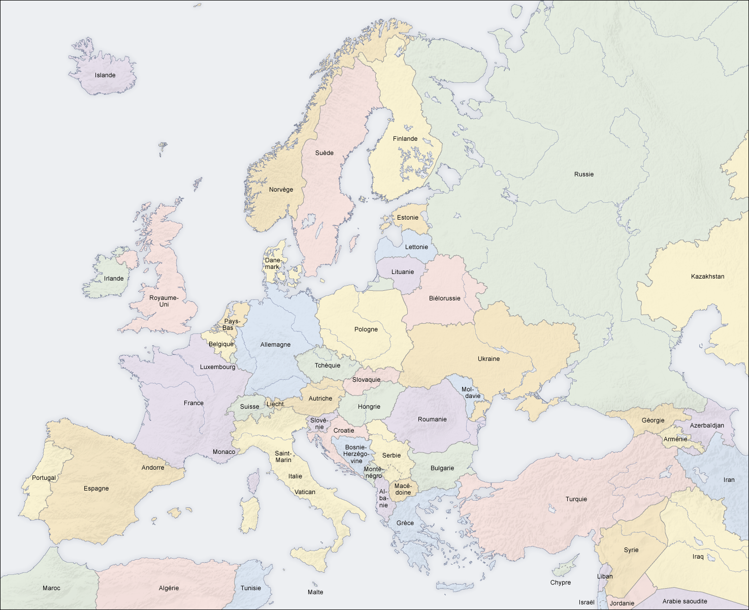
Summary
| DescriptionEurope countries map fr.png |
Français : pays en Europe, carte fr |
||||||||||
| Date | 02.04.2006 | ||||||||||
| Source | carte créée par l'utilisateur, à partir des Generic Mapping Tools et de ETOPO2 | ||||||||||
| Author | San Jose (map) | ||||||||||
| Permission (Reusing this file) |
|
||||||||||
| Other versions |
[edit]
|


Captions
Add a one-line explanation of what this file represents
Items portrayed in this file
depicts
File history
Click on a date/time to view the file as it appeared at that time.
| Date/Time | Thumbnail | Dimensions | User | Comment | |
|---|---|---|---|---|---|
| current | 08:33, 12 June 2008 | | 1,475 × 1,200 (612 KB) | San Jose | |
| 12:15, 5 June 2006 |  | 1,475 × 1,200 (658 KB) | San Jose | updated and corrected | |
| 11:17, 2 April 2006 |  | 1,475 × 1,200 (661 KB) | San Jose | Upload |
File usage
No pages on the English Wikipedia use this file (pages on other projects are not listed).
Global file usage
The following other wikis use this file:
- Usage on bg.wikipedia.org
- Usage on de.wikipedia.org
- Usage on de.wikiversity.org
- Usage on fr.wikipedia.org
- Usage on gcr.wikipedia.org
- Usage on mg.wikipedia.org
- Usage on pcd.wikipedia.org
- Usage on ro.wikipedia.org
Retrieved from "https://en.wikipedia.org/wiki/File:Europe_countries_map_fr.png"