File:Europe_countries_map_fr_2.png
From Wikipedia, the free encyclopedia
Size of this preview: 737 × 600 pixels. Other resolutions: 295 × 240 pixels | 590 × 480 pixels | 944 × 768 pixels | 1,259 × 1,024 pixels | 1,475 × 1,200 pixels.
Original file (1,475 × 1,200 pixels, file size: 792 KB, MIME type: image/png)
| This is a file from the Wikimedia Commons. Information from its description page there is shown below. Commons is a freely licensed media file repository. You can help. |
Summary
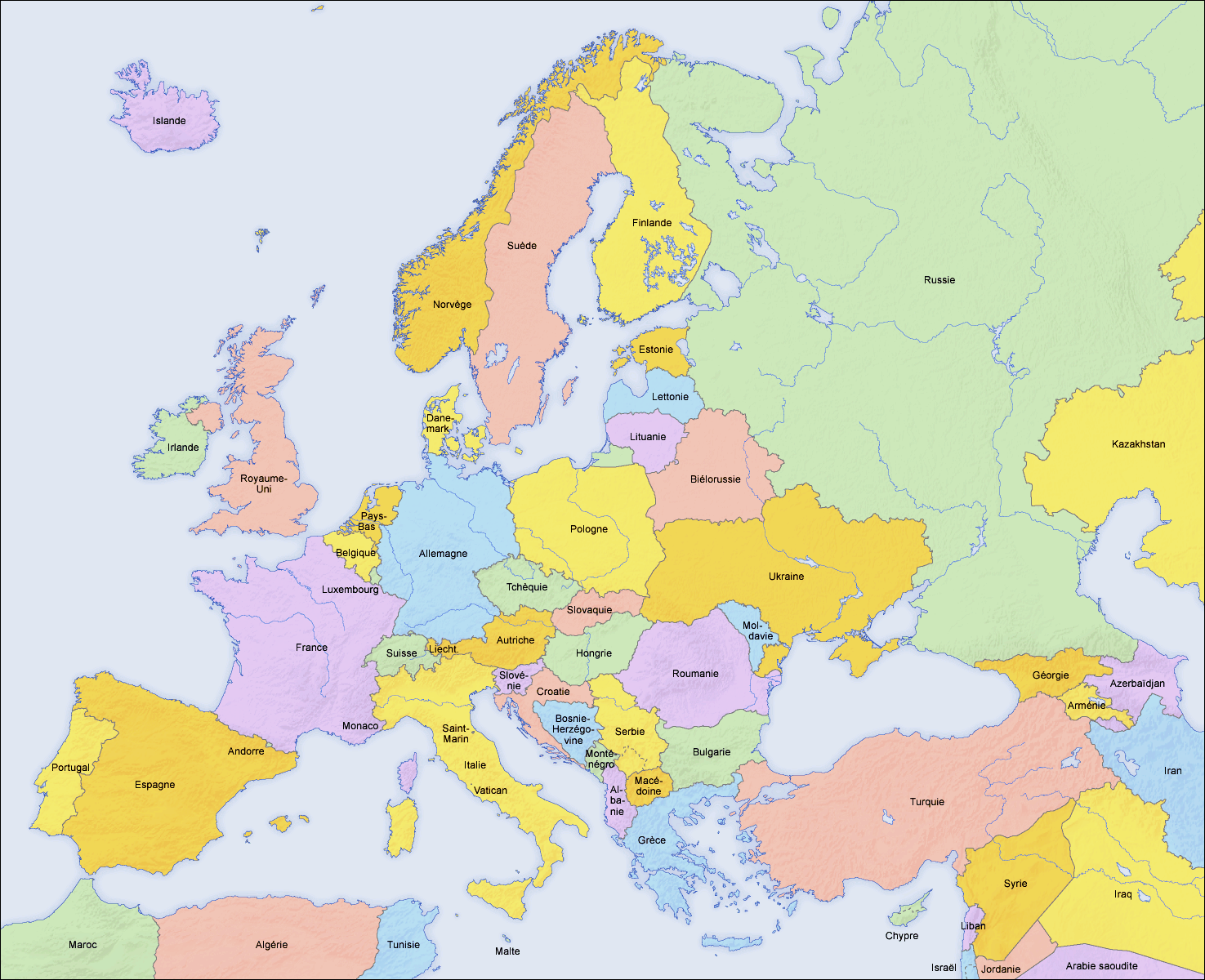
| DescriptionEurope countries map fr 2.png |
English: Map of countries in Europe and the surrounding region |
||||||||||
| Date | 02.04.2006 | ||||||||||
| Source | derivative work of Europe countries map fr.png by San Jose, based on the Generic Mapping Tools and ETOPO2 | ||||||||||
| Author | San Jose (map), Hayden120 (retouch) | ||||||||||
| Permission (Reusing this file) |
|
||||||||||
| Other versions |
[edit]
|


| This is a retouched picture, which means that it has been digitally altered from its original version. Modifications: Saturation, brightness, contrast. The original can be viewed here: Europe countries map fr.png:
|
See also
_en.png)
.png)
.jpg)
Captions
Add a one-line explanation of what this file represents
Items portrayed in this file
depicts
File history
Click on a date/time to view the file as it appeared at that time.
| Date/Time | Thumbnail | Dimensions | User | Comment | |
|---|---|---|---|---|---|
| current | 08:09, 11 September 2009 | | 1,475 × 1,200 (792 KB) | Hayden120 | == {{int:filedesc}} == {{Information |Description= {{en|Map of countries in Europe}} |Source=derivative work of Europe countries map fr.png by San Jose, based on the [http://gmt.soest.hawaii.edu/ Gen |
File usage
No pages on the English Wikipedia use this file (pages on other projects are not listed).
Global file usage
The following other wikis use this file:
- Usage on ar.wikipedia.org
- Usage on fr.wikipedia.org
Retrieved from "https://en.wikipedia.org/wiki/File:Europe_countries_map_fr_2.png"