File:Europe_countries_map_ja.png
From Wikipedia, the free encyclopedia
Size of this preview: 737 × 600 pixels. Other resolutions: 295 × 240 pixels | 590 × 480 pixels | 944 × 768 pixels | 1,259 × 1,024 pixels | 1,475 × 1,200 pixels.
Original file (1,475 × 1,200 pixels, file size: 801 KB, MIME type: image/png)
| This is a file from the Wikimedia Commons. Information from its description page there is shown below. Commons is a freely licensed media file repository. You can help. |
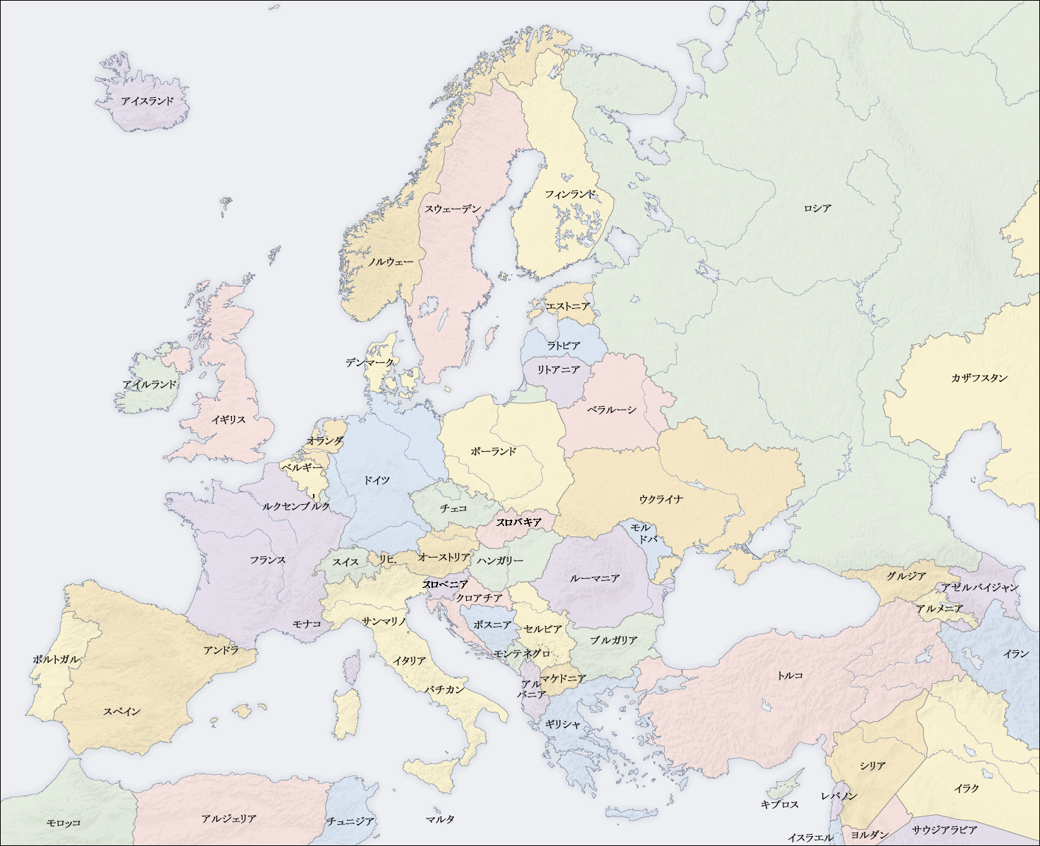
| DescriptionEurope countries map ja.png |
English: Map of countries in Europe
日本語: ヨーロッパ各国の地図 |
||||||||||
| Date | 2009年3月6日(金) | ||||||||||
| Source | own map, based on the Generic Mapping Tools and ETOPO2 | ||||||||||
| Author | San Jose (map) and Kiensvay (Japanese Version) | ||||||||||
| Permission (Reusing this file) |
|
||||||||||
| Other versions |
[edit]
|


Captions
Add a one-line explanation of what this file represents
Items portrayed in this file
depicts
File history
Click on a date/time to view the file as it appeared at that time.
| Date/Time | Thumbnail | Dimensions | User | Comment | |
|---|---|---|---|---|---|
| current | 00:47, 17 May 2009 | | 1,475 × 1,200 (801 KB) | Shota y | スロバキアとスロベニア入れ替え修正 |
| 11:44, 6 March 2009 |  | 1,475 × 1,200 (367 KB) | Kiensvay | bold texts (太字) | |
| 11:28, 6 March 2009 |  | 1,475 × 1,200 (365 KB) | Kiensvay | {{Information |Description={{en|1=Map of countries in Europe}} {{ja|1=ヨーロッパ地図}} |Source=own map, based on the [http://gmt.soest.hawaii.edu/ Generic Mapping Tools] and [http://dss.ucar.edu/datasets/ds759.3/ ETOPO2] |Author=[[User:San Jose|Sa |
File usage
No pages on the English Wikipedia use this file (pages on other projects are not listed).
Global file usage
Retrieved from "https://en.wikipedia.org/wiki/File:Europe_countries_map_ja.png"