File:Europe_countries_map_ja_2.png
From Wikipedia, the free encyclopedia
Size of this preview: 737 × 600 pixels. Other resolutions: 295 × 240 pixels | 590 × 480 pixels | 944 × 768 pixels | 1,259 × 1,024 pixels | 1,475 × 1,200 pixels.
Original file (1,475 × 1,200 pixels, file size: 349 KB, MIME type: image/png)
| This is a file from the Wikimedia Commons. Information from its description page there is shown below. Commons is a freely licensed media file repository. You can help. |
Summary
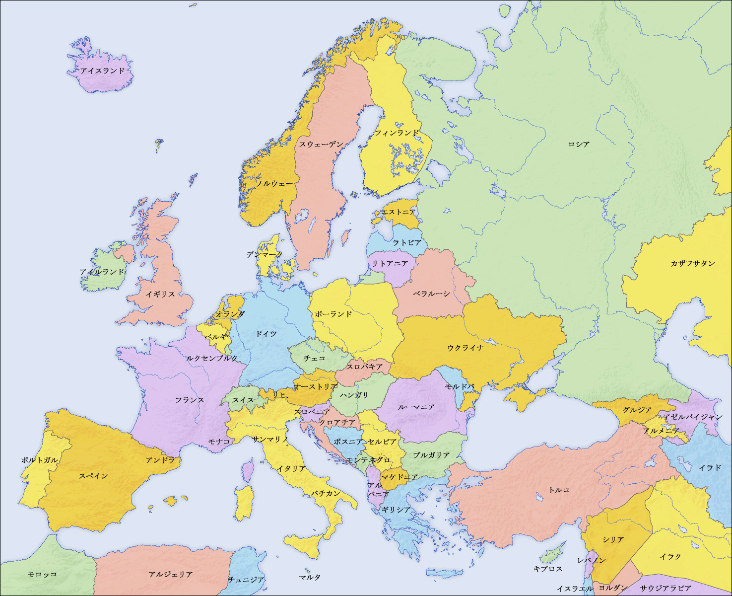
| DescriptionEurope countries map ja 2.png |
English: Map of countries in Europe and the surrounding region |
||||||||||
| Date | |||||||||||
| Source |
|
||||||||||
| Author | San Jose (map), Kiensvay (retouch) | ||||||||||
| Permission (Reusing this file) |
|
||||||||||
| Other versions |
[edit]
|


See also
_en.png)
.png)
.jpg)
Captions
Add a one-line explanation of what this file represents
Items portrayed in this file
depicts
18 February 2010
File history
Click on a date/time to view the file as it appeared at that time.
| Date/Time | Thumbnail | Dimensions | User | Comment | |
|---|---|---|---|---|---|
| current | 07:46, 19 February 2010 | | 1,475 × 1,200 (349 KB) | Kiensvay | 修正 |
| 16:50, 17 February 2010 |  | 1,475 × 1,200 (514 KB) | Kiensvay | {{Information |Description={{en|1=Map of countries in Europe and the surrounding region}} |Source={{Retouched picture|1=Saturation, brightness, contrast|editor=Kiensvay|orig=Europe countries map ja.png|origoff=}} |Author=Kiensvay |Date=2 |
File usage
No pages on the English Wikipedia use this file (pages on other projects are not listed).
Retrieved from "https://en.wikipedia.org/wiki/File:Europe_countries_map_ja_2.png"