File:Fenstanton_High_Street_-_geograph.org.uk_-_639733.jpg
From Wikipedia, the free encyclopedia
Size of this preview: 450 × 600 pixels. Other resolutions: 180 × 240 pixels | 480 × 640 pixels.
Original file (480 × 640 pixels, file size: 66 KB, MIME type: image/jpeg)
| This is a file from the Wikimedia Commons. Information from its description page there is shown below. Commons is a freely licensed media file repository. You can help. |
Summary
| DescriptionFenstanton High Street - geograph.org.uk - 639733.jpg |
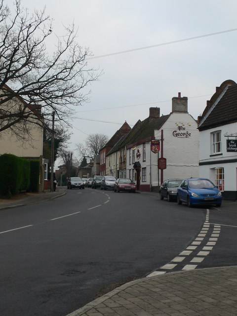
Fenstanton High Street
|
|
| Date | ||
| Source | From geograph.org.uk; transferred by User:Magnus Manske using geograph_org2commons. | |
| Author | Eirian Evans | |
| Permission (Reusing this file) |
Creative Commons Attribution Share-alike license 2.0 | |
| Attribution (required by the license) InfoField | Eirian Evans / Fenstanton High Street / | |
InfoField | Eirian Evans / Fenstanton High Street |
| Camera location | 52° 17′ 54.75″ N, 0° 04′ 25.04″ W | View this and other nearby images on: OpenStreetMap |
|---|
| Object location | 52° 17′ 54.9″ N, 0° 04′ 25″ W | View this and other nearby images on: OpenStreetMap |
|---|
Licensing

|
This image was taken from the Geograph project collection. See this photograph's page on the Geograph website for the photographer's contact details. The copyright on this image is owned by Eirian Evans and is licensed for reuse under the Creative Commons Attribution-ShareAlike 2.0 license.
|
This file is licensed under the Creative Commons Attribution-Share Alike 2.0 Generic license.
Attribution: Eirian Evans
- You are free:
- to share – to copy, distribute and transmit the work
- to remix – to adapt the work
- Under the following conditions:
- attribution – You must give appropriate credit, provide a link to the license, and indicate if changes were made. You may do so in any reasonable manner, but not in any way that suggests the licensor endorses you or your use.
- share alike – If you remix, transform, or build upon the material, you must distribute your contributions under the same or compatible license as the original.
Captions
Add a one-line explanation of what this file represents
Items portrayed in this file
depicts
some value
18 December 2007
52°17'54.751"N, 0°4'25.039"W
52°17'54.92"N, 0°4'24.60"W
File history
Click on a date/time to view the file as it appeared at that time.
| Date/Time | Thumbnail | Dimensions | User | Comment | |
|---|---|---|---|---|---|
| current | 15:27, 27 June 2009 | | 480 × 640 (66 KB) | File Upload Bot (Magnus Manske) | == Summary == {{Information |Description=Fenstanton High Street |Source=From [http://www.geograph.org.uk/photo/639733 geograph.org.uk]; transferd by User:Magnus Manske using [http://toolserver.org/~magnus/geograph_org2commons.php geograph_org2commons |
File usage
The following pages on the English Wikipedia use this file (pages on other projects are not listed):
Global file usage
The following other wikis use this file:
- Usage on ar.wikipedia.org
- Usage on arz.wikipedia.org
- Usage on cy.wikipedia.org
- Usage on es.wikipedia.org
- Usage on fa.wikipedia.org
- Usage on fr.wikipedia.org
- Usage on lld.wikipedia.org
- Usage on nl.wikipedia.org
- Usage on pl.wikipedia.org
- Usage on sv.wikipedia.org
- Usage on www.wikidata.org
- Usage on zh-min-nan.wikipedia.org