File:Gabon_relief_location_map.jpg
From Wikipedia, the free encyclopedia
Size of this preview: 646 × 600 pixels. Other resolutions: 259 × 240 pixels | 517 × 480 pixels | 827 × 768 pixels | 1,200 × 1,114 pixels.
Original file (1,200 × 1,114 pixels, file size: 994 KB, MIME type: image/jpeg)
| This is a file from the Wikimedia Commons. Information from its description page there is shown below. Commons is a freely licensed media file repository. You can help. |
Summary
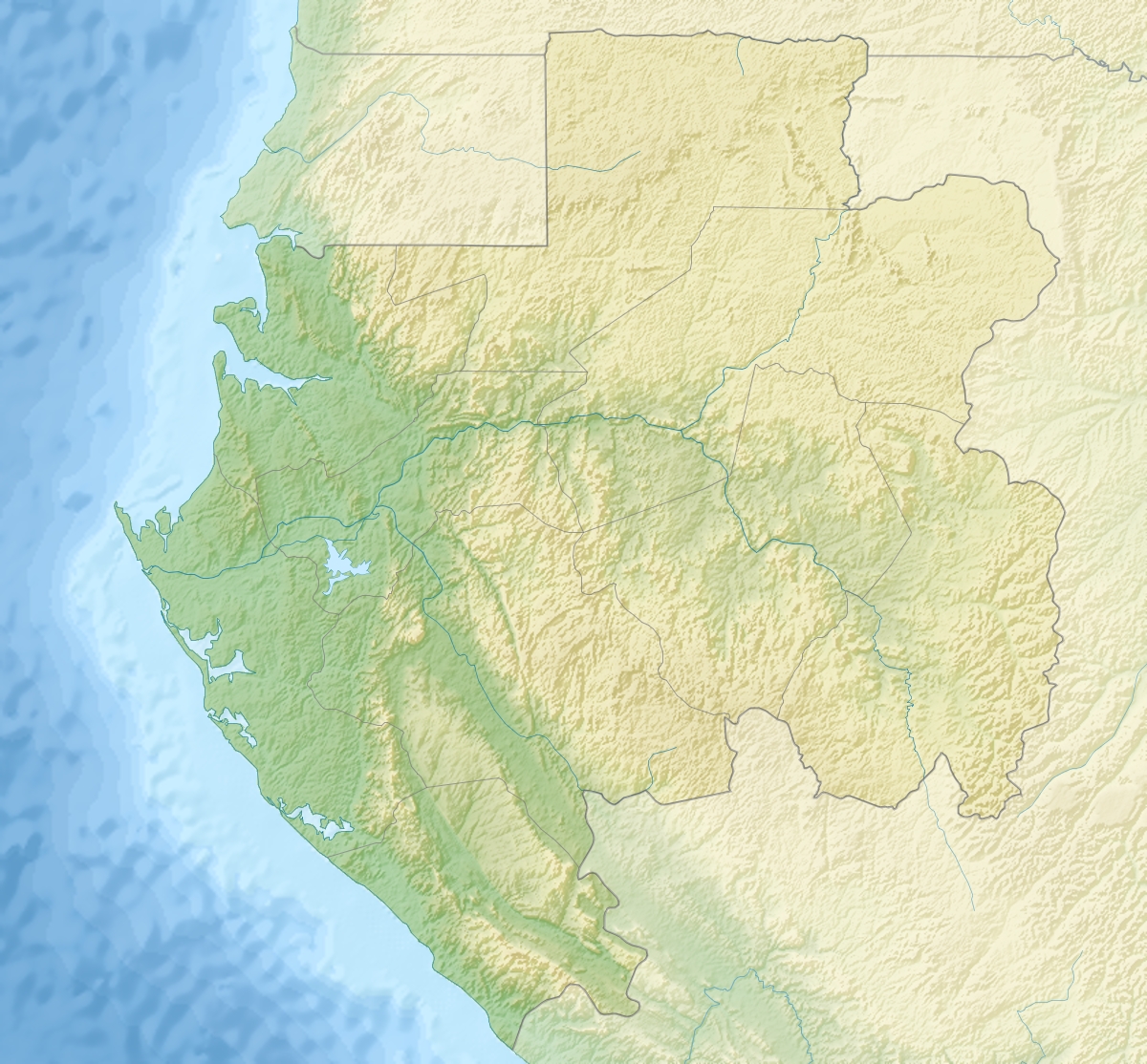
| DescriptionGabon relief location map.jpg |
English: Relief location map of Gabon.
|
| Date | |
| Source | Own work |
| Author | Uwe Dedering |
Licensing
I, the copyright holder of this work, hereby publish it under the following licenses:
This file is licensed under the Creative Commons Attribution-Share Alike 3.0 Unported license.
- You are free:
- to share – to copy, distribute and transmit the work
- to remix – to adapt the work
- Under the following conditions:
- attribution – You must give appropriate credit, provide a link to the license, and indicate if changes were made. You may do so in any reasonable manner, but not in any way that suggests the licensor endorses you or your use.
- share alike – If you remix, transform, or build upon the material, you must distribute your contributions under the same or compatible license as the original.

|
Permission is granted to copy, distribute and/or modify this document under the terms of the GNU Free Documentation License, Version 1.2 or any later version published by the Free Software Foundation; with no Invariant Sections, no Front-Cover Texts, and no Back-Cover Texts. A copy of the license is included in the section entitled GNU Free Documentation License.http://www.gnu.org/copyleft/fdl.htmlGFDLGNU Free Documentation Licensetruetrue |
You may select the license of your choice.
Captions
Add a one-line explanation of what this file represents
Items portrayed in this file
depicts
9 December 2010
File history
Click on a date/time to view the file as it appeared at that time.
| Date/Time | Thumbnail | Dimensions | User | Comment | |
|---|---|---|---|---|---|
| current | 15:06, 9 December 2010 | | 1,200 × 1,114 (994 KB) | Uwe Dedering | initial upload |
File usage
The following pages on the English Wikipedia use this file (pages on other projects are not listed):
- 2009 Gabonese Eurocopter AS 532 crash
- 2019 Gabonese coup attempt
- Abanga River
- Akanda National Park
- Batéké Plateau National Park
- Birougou National Park
- Compagnie minière de l'Ogooué
- Grand Poubara Dam
- Iroungou cave
- Ivindo River
- Leptopelis crystallinoron
- Libreville
- List of fossiliferous stratigraphic units in Gabon
- Loango National Park
- Mayumba National Park
- Minkébé National Park
- Mont Bengoué
- Mont Iboundji
- Moukalaba-Doudou National Park
- Mount Mimongo
- Mwagna National Park
- Pongara National Park
- Waka National Park
- User:Ty654/List of earthquakes from 1970-1974 exceeding magnitude 6+
- Module:Location map/data/Gabon
- Module:Location map/data/Gabon/doc
Global file usage
The following other wikis use this file:
- Usage on af.wikipedia.org
- Usage on ar.wikipedia.org
- Usage on ast.wikipedia.org
- Usage on azb.wikipedia.org
- Usage on az.wikipedia.org
- Usage on ba.wikipedia.org
- Usage on be.wikipedia.org
- Usage on bg.wikipedia.org
- Usage on bn.wikipedia.org
- Usage on bs.wikipedia.org
- Usage on ca.wikipedia.org
- Usage on ceb.wikipedia.org
- Usage on ce.wikipedia.org
- Usage on ckb.wikipedia.org
- Usage on cs.wikipedia.org
View more global usage of this file.
Metadata
This file contains additional information, probably added from the digital camera or scanner used to create or digitize it.
If the file has been modified from its original state, some details may not fully reflect the modified file.
| _error | 0 |
|---|
Retrieved from "https://en.wikipedia.org/wiki/File:Gabon_relief_location_map.jpg"