File:Libya_relief_location_map.jpg
From Wikipedia, the free encyclopedia
Size of this preview: 625 × 599 pixels. Other resolutions: 250 × 240 pixels | 500 × 480 pixels | 801 × 768 pixels | 1,068 × 1,024 pixels | 1,617 × 1,551 pixels.
Original file (1,617 × 1,551 pixels, file size: 1.13 MB, MIME type: image/jpeg)
| This is a file from the Wikimedia Commons. Information from its description page there is shown below. Commons is a freely licensed media file repository. You can help. |
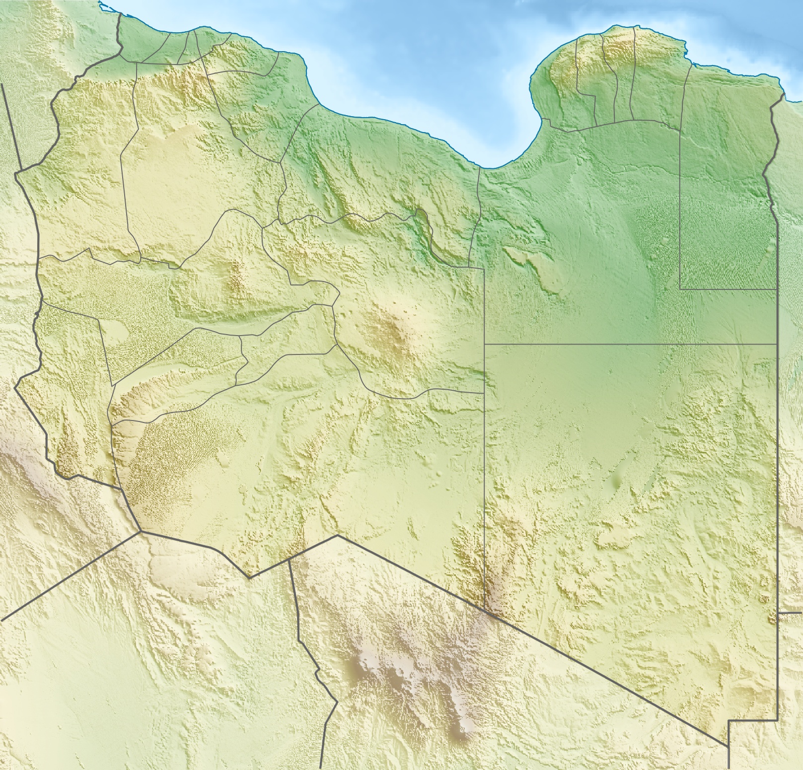
| DescriptionLibya relief location map.jpg |
Deutsch: Physische Positionskarte von Libyen
Quadratische Plattkarte, N-S-Streckung 110 %. Geographische Begrenzung der Karte:
Equirectangular projection, N/S stretching 110 %. Geographic limits of the map:
|
| Date | |
| Source | Own work, using map data from administrative map by NordNordWest. The relief was created from SRTM-30 relief data |
| Author | Carport |
| Permission (Reusing this file) |
This file is licensed under the Creative Commons Attribution-Share Alike 3.0 Unported license.
|
| Other versions |
|

. قرامطة زوامل
Captions
Add a one-line explanation of what this file represents
Items portrayed in this file
depicts
10 March 2010
File history
Click on a date/time to view the file as it appeared at that time.
| Date/Time | Thumbnail | Dimensions | User | Comment | |
|---|---|---|---|---|---|
| current | 17:28, 9 May 2011 | | 1,617 × 1,551 (1.13 MB) | Carport | right file... |
| 17:25, 9 May 2011 |  | 1,617 × 1,551 (1.13 MB) | Carport | update | |
| 16:33, 11 March 2010 |  | 1,617 × 1,551 (1.22 MB) | Carport | {{Information |Description={{de|Physische Positionskarte von {{w|Libyen|3=de}}}} Quadratische Plattkarte, N-S-Streckung 110 %. Geographische Begrenzung der Karte: * N: 33.4° N * S: 19.1° N * W: 9.1° O * O: 25.5° O {{en|Physical location map of {{w|Lib |
File usage
The following pages on the English Wikipedia use this file (pages on other projects are not listed):
- 1963 Marj earthquake
- 2019 Tajoura migrant center airstrike
- 23rd July Lake
- Acacus Mountains
- Acacus Sandstone
- Apollonia (Cyrenaica)
- Battle of Bir Hakeim
- Battle of Ras Lanuf
- Beda Fomm
- Benghazi
- Bikku Bitti
- Cyrene, Libya
- El-Kouf National Park
- El Sharara oil field
- Fatimid invasion of Egypt (914–915)
- Fezzan valleys
- Gabal El Uweinat
- Germa Museum
- Gharyan volcanic field
- Gulf of Sidra
- Haruj
- Haua Fteah
- Idehan Ubari
- Jabal Arkanu
- Leptis Magna
- Mausoleum of Gasr Doga
- Mizdah Formation
- Nafusa Mountains
- Necropolis of Cyrene
- Operation Sonnenblume
- Port of Benghazi
- Ras Ajdir
- Rebiana, Libya
- Rebiana Sand Sea
- SS Shuntien (1934)
- SS Yoma
- Slavery in Libya
- Takarkori
- Tarab Formation
- Tripoli, Libya
- Wadi Ghan Dam
- Wadi Kaam Dam
- Wadi Lebda Dam
- Wadi Mejenin Dam
- Wadi Qattara Dam
- Wadi Wishka Dam
- Waw an Namus
- Zelten oil field
- User:Gruzinim/sandbox/Giado concentration camp
- User:Kōkogaku-sha/Takarkori
- User:Noclador/sandbox/Piazza Marittima di Messina
- User:Ty654/List of earthquakes from 1930-1939 exceeding magnitude 6+
- Module:Location map/data/Libya
- Module:Location map/data/Libya/doc
Global file usage
The following other wikis use this file:
- Usage on ar.wikipedia.org
- Usage on arz.wikipedia.org
- Usage on ast.wikipedia.org
- Usage on az.wikipedia.org
- Usage on ba.wikipedia.org
- Usage on be.wikipedia.org
- Usage on bg.wikipedia.org
- Триполи
- Бенгази
- Сирт
- Сирт (залив)
- Таджура
- Тобрук
- Ал Азизия
- Дарна
- Бардия
- Ел Агейла
- Мурзук
- Шаблон:ПК Либия
- Лептис Магна
- Кирена
- Гадамес
- Ал Байда
- Адждабия
- Адири
- Налут
- Аубари
- Уау ан Намус
- Марса Брега
- Рас Лануф
- Бин Джауад
- Мисрата
- Зауия
- Хумс
- Сидер
- Сабха
- Бани Уалид
- Зинтан
- Дарияна (Либия)
- Тадрарт Акакус
- Газала
- Киренайка (плато)
View more global usage of this file.
Metadata
This file contains additional information, probably added from the digital camera or scanner used to create or digitize it.
If the file has been modified from its original state, some details may not fully reflect the modified file.
| _error | 0 |
|---|
Retrieved from "https://en.wikipedia.org/wiki/File:Libya_relief_location_map.jpg"