File:OpenSeaMap-Warnemünde.png
From Wikipedia, the free encyclopedia
Size of this preview: 800 × 569 pixels. Other resolutions: 320 × 228 pixels | 640 × 455 pixels | 1,024 × 728 pixels | 1,280 × 910 pixels.
Original file (1,280 × 910 pixels, file size: 356 KB, MIME type: image/png)
| This is a file from the Wikimedia Commons. Information from its description page there is shown below. Commons is a freely licensed media file repository. You can help. |
Summary
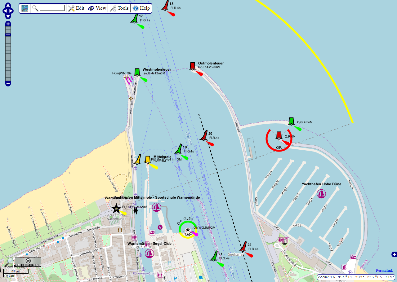
| DescriptionOpenSeaMap-Warnemünde.png |
Deutsch: OpenSeaMap - Kartenausschnitt Musterhafen "Warnemünde" |
| Date | 1 June 2009 (original upload date) - Latest version: 22 May 2018 |
| Source | OpenSeaMap |
| Author | die Mitarbeiter der beteiligten Projekte |
Licensing
This file is licensed under the Creative Commons Attribution-Share Alike 2.0 Generic license.
- You are free:
- to share – to copy, distribute and transmit the work
- to remix – to adapt the work
- Under the following conditions:
- attribution – You must give appropriate credit, provide a link to the license, and indicate if changes were made. You may do so in any reasonable manner, but not in any way that suggests the licensor endorses you or your use.
- share alike – If you remix, transform, or build upon the material, you must distribute your contributions under the same or compatible license as the original.
Original upload log
The original description page was here. All following user names refer to de.wikipedia.
- 2009-06-01 13:09 Markus Bärlocher 1262×917× (331567 bytes) {{Information |Beschreibung = OpenSeaMap - Kartenausschnitt Musterhafen "Warnemünde" |Quelle = OpenSeaMap |Urheber = Markus Bärlocher |Datum = 1.6.2009 |Genehmigung = |Andere Versionen = |Anmerkungen = }}
Captions
Add a one-line explanation of what this file represents
Items portrayed in this file
depicts
File history
Click on a date/time to view the file as it appeared at that time.
| Date/Time | Thumbnail | Dimensions | User | Comment | |
|---|---|---|---|---|---|
| current | 13:05, 22 May 2018 | | 1,280 × 910 (356 KB) | The RedBurn | Updated version |
| 15:35, 8 June 2009 |  | 1,262 × 917 (324 KB) | Smial | {{Information |Description={{de|OpenSeaMap - Kartenausschnitt Musterhafen "Warnemünde"}} |Source=Transferred from [http://de.wikipedia.org de.wikipedia]<br/> (Original text : ''OpenSeaMap'') |Date=1.6.2009<br/> ({{Date|2009|06|01}} (original upload date) |
File usage
The following pages on the English Wikipedia use this file (pages on other projects are not listed):
Global file usage
The following other wikis use this file:
- Usage on bn.wikipedia.org
- Usage on ca.wikipedia.org
- Usage on cs.wikipedia.org
- Usage on de.wikipedia.org
- Usage on fr.wikipedia.org
- Usage on he.wikipedia.org
- Usage on ja.wikipedia.org
- Usage on km.wikipedia.org
- Usage on lv.wikipedia.org
- Usage on pl.wikipedia.org
- Usage on sq.wikipedia.org
- Usage on sv.wikipedia.org
- Usage on ta.wikipedia.org
- Usage on vi.wikipedia.org
Retrieved from "https://en.wikipedia.org/wiki/File:OpenSeaMap-Warnemünde.png"