File:Relief_map_of_U.S.,_Nevada.png
From Wikipedia, the free encyclopedia
Size of this preview: 408 × 600 pixels. Other resolutions: 163 × 240 pixels | 326 × 480 pixels | 882 × 1,297 pixels.
Original file (882 × 1,297 pixels, file size: 1.12 MB, MIME type: image/png)
| This is a file from the Wikimedia Commons. Information from its description page there is shown below. Commons is a freely licensed media file repository. You can help. |
Summary
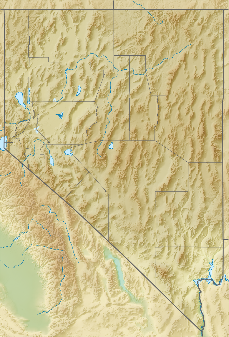
| DescriptionRelief map of U.S., Nevada.png |
Русский: Физическая карта штата Невада (США).
Equirectangular projection, N/S stretching 125 %. Geographic limits of the map:
|
| Date | |
| Source |
|
| Author | Nzeemin |
| Other versions |
|

Licensing
I, the copyright holder of this work, hereby publish it under the following license:
This file is licensed under the Creative Commons Attribution-Share Alike 3.0 Unported license.
- You are free:
- to share – to copy, distribute and transmit the work
- to remix – to adapt the work
- Under the following conditions:
- attribution – You must give appropriate credit, provide a link to the license, and indicate if changes were made. You may do so in any reasonable manner, but not in any way that suggests the licensor endorses you or your use.
- share alike – If you remix, transform, or build upon the material, you must distribute your contributions under the same or compatible license as the original.
Captions
Add a one-line explanation of what this file represents
Items portrayed in this file
depicts
21 November 2012
File history
Click on a date/time to view the file as it appeared at that time.
| Date/Time | Thumbnail | Dimensions | User | Comment | |
|---|---|---|---|---|---|
| current | 22:22, 30 April 2017 | | 882 × 1,297 (1.12 MB) | Ayane m | 164 KB file size reduction |
| 17:15, 21 November 2012 |  | 882 × 1,297 (1.28 MB) | Nzeemin | User created page with UploadWizard |
File usage
More than 100 pages use this file. The following list shows the first 100 pages that use this file only. A full list is available.
- Adobe Range
- Arrow Canyon Range
- Beaver Dam State Park (Nevada)
- Belmont Courthouse State Historic Park
- Big Bend of the Colorado State Recreation Area
- Boulder City, Nevada
- Boundary Peak (Nevada)
- Burning Man
- Carson City, Nevada
- Carson Range
- Cathedral Gorge State Park
- Cave Lake State Park
- Chicken Ranch (Nevada)
- CityCenter
- Clan Alpine Mountains
- Cortez Mountains
- Cottonwood Cove, Nevada
- Cox Pavilion
- Dayton State Park
- Dead Camel Mountains
- Dennis Hof's Love Ranch
- Desatoya Mountains
- Desert Mountains
- Diamond Mountains (Nevada)
- Diana's Punchbowl
- East Humboldt Range
- Echo Canyon State Park
- Elko Regional Airport
- Ely Airport
- Excelsior Mountains
- Fallon, Nevada
- Fort Churchill State Historic Park
- Great Basin National Park
- Groom Lake (salt flat)
- Henderson, Nevada
- Hole in the Mountain Peak
- Jarbidge Wilderness
- Kawich Range
- Kershaw–Ryan State Park
- Lahontan Dam
- Lahontan State Recreation Area
- Lake Lahontan (reservoir)
- Lake Las Vegas
- Lake Mead
- Lake Mead National Recreation Area
- Lake Mohave
- Lake Range
- Lake Tahoe
- Lake Tahoe–Nevada State Park
- Las Vegas
- Lawlor Events Center
- List of brothels in Nevada
- Louderback Mountains
- Mackay Stadium
- Meadow Valley Wash
- Michelob Ultra Arena
- Moonlite BunnyRanch
- Mormon Mountains
- Mormon Station State Historic Park
- Mount Charleston
- Mustang Ranch
- Newberry Mountains (Nevada)
- Nightingale Mountains
- North Las Vegas, Nevada
- North Las Vegas Airport
- Old Las Vegas Mormon Fort State Historic Park
- Pah Rah Range
- Papoose Lake
- Primm, Nevada
- Prostitution in Nevada
- Pyramid Lake (Nevada)
- Railroad Valley (Nevada)
- Red Rock Canyon National Conservation Area
- Reno Stead Airport
- Ruby Dome
- Ruby Lake National Wildlife Refuge
- Rye Patch State Recreation Area
- Sam Boyd Stadium
- Sand Mountain (Nevada)
- Santa Rosa Range
- Sheep Range
- Shoshone Mountains
- Simpson Park Mountains
- South Fork State Recreation Area
- Spring Mountain Ranch State Park
- Spring Mountains
- Spring Mountains National Recreation Area
- Spring Valley State Park
- Stillwater Range
- Sylvania Mountains
- Terril Mountains
- Thomas & Mack Center
- Truckee Range
- University of Nevada, Reno Arboretum
- Valley of Fire State Park
- Virginia Mountains
- Walker Lake (Nevada)
- Washoe Lake
- West Humboldt Range
- Wheeler Peak (Nevada)
View more links to this file.
Global file usage
The following other wikis use this file:
- Usage on azb.wikipedia.org
- Usage on az.wikipedia.org
- Usage on bg.wikipedia.org
- Usage on bn.wikipedia.org
- Usage on ca.wikipedia.org
- Usage on ceb.wikipedia.org
- Usage on ce.wikipedia.org
- Usage on cs.wikipedia.org
- Usage on da.wikipedia.org
- Usage on de.wikipedia.org
View more global usage of this file.
Retrieved from "https://en.wikipedia.org/wiki/File:Relief_map_of_U.S.,_Nevada.png"