File:Toowoomba_LGA_Qld_2008.png
From Wikipedia, the free encyclopedia
No higher resolution available.
Toowoomba_LGA_Qld_2008.png (400 × 535 pixels, file size: 52 KB, MIME type: image/png)
| This is a file from the Wikimedia Commons. Information from its description page there is shown below. Commons is a freely licensed media file repository. You can help. |
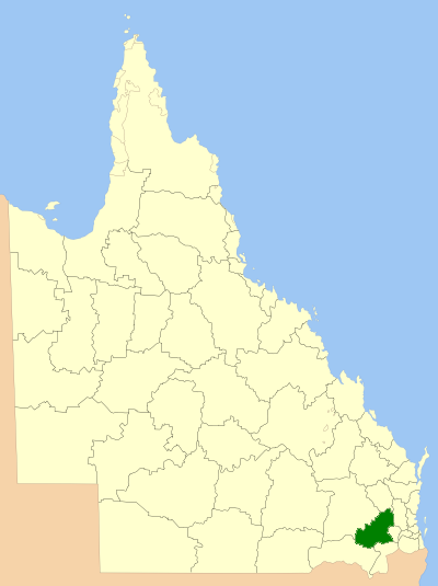
| DescriptionToowoomba LGA Qld 2008.png | Location of the Local Government Area in Queensland |
| Date | |
| Source | Own work |
| Author | self |
| Permission (Reusing this file) |
GNU Free Documentation License |

|
Permission is granted to copy, distribute and/or modify this document under the terms of the GNU Free Documentation License, Version 1.2 or any later version published by the Free Software Foundation; with no Invariant Sections, no Front-Cover Texts, and no Back-Cover Texts. A copy of the license is included in the section entitled GNU Free Documentation License.http://www.gnu.org/copyleft/fdl.htmlGFDLGNU Free Documentation Licensetruetrue |
| This file is licensed under the Creative Commons Attribution-Share Alike 3.0 Unported license. | ||
| ||
| This licensing tag was added to this file as part of the GFDL licensing update.http://creativecommons.org/licenses/by-sa/3.0/CC BY-SA 3.0Creative Commons Attribution-Share Alike 3.0truetrue |
Captions
Add a one-line explanation of what this file represents
Items portrayed in this file
depicts
March 2008
File history
Click on a date/time to view the file as it appeared at that time.
| Date/Time | Thumbnail | Dimensions | User | Comment | |
|---|---|---|---|---|---|
| current | 00:35, 8 July 2008 | | 400 × 535 (52 KB) | Roke~commonswiki | {{Information |Description=Location of the Local Government Area in Queensland |Source=self made |Date=March 2008 |Author=self |Permission=GNU Free Documentation License |other_versions= }} {{GF |
File usage
The following pages on the English Wikipedia use this file (pages on other projects are not listed):
- Birnam, Queensland (Toowoomba Region)
- Budgee, Queensland
- Bulli Creek, Queensland
- Cattle Creek, Queensland (Toowoomba Region)
- Cawdor, Queensland
- Cherry Creek, Queensland
- Coalbank, Queensland
- Djuan, Queensland
- Elphinstone, Queensland (Toowoomba Region)
- Finnie, Queensland
- Forest Ridge, Queensland
- Jones Gully, Queensland
- Kincora, Queensland
- Kooralgin, Queensland
- Lavelle, Queensland
- Local government areas of Queensland
- Malling, Queensland
- Manapouri, Queensland
- Millwood, Queensland
- Missen Flat, Queensland
- Mount Binga, Queensland
- Mount Molar, Queensland
- Mountain Camp, Queensland
- Muldu, Queensland
- Munro Tramway
- Nevilton, Queensland
- North Maclagan, Queensland
- Palmtree, Queensland
- Plainby, Queensland
- Punchs Creek
- Redwood Park, Toowoomba
- Rocky Creek, Queensland
- Rossvale, Queensland
- Sandy Camp, Queensland
- Scrubby Mountain, Queensland
- St Helens, Queensland (Toowoomba Region)
- The Pines, Queensland
- Thornville, Queensland
- Tipton, Queensland
- Toowoomba Region
- Wattle Ridge, Queensland
- Woodleigh, Queensland
- Woondul, Queensland
- Template:Toowoomba-geo-stub
Global file usage
The following other wikis use this file:
- Usage on bar.wikipedia.org
- Usage on de.wikipedia.org
- Usage on fr.wikipedia.org
- Usage on hy.wikipedia.org
- Usage on it.wikipedia.org
- Usage on ru.wikipedia.org
- Usage on sv.wikipedia.org
- Usage on vi.wikipedia.org
- Usage on zh.wikipedia.org
Retrieved from "https://en.wikipedia.org/wiki/File:Toowoomba_LGA_Qld_2008.png"