File:BlankMap-World-1970.png
From Wikipedia, the free encyclopedia
ดูภาพที่มีความละเอียดสูงกว่า (1,357 × 628 พิกเซล, ขนาดไฟล์: 48 กิโลไบต์, ชนิดไมม์: image/png)
| รูปภาพหรือไฟล์เสียงนี้ ต้นฉบับอยู่ที่ คอมมอนส์ รายละเอียดด้านล่าง เป็นข้อความที่แสดงผลจาก ไฟล์ต้นฉบับในคอมมอนส์
|

|
ภาพแผนที่ระบุตำแหน่งนี้ ควรจะถูกสร้างใหม่เป็นกราฟิกส์เวกเตอร์ ซึ่งมีข้อดีอีกหลายประการ ดูเพิ่มเติมที่คอมมอนส์:สื่อต้องการเก็บกวาดสำหรับสารสนเทศเพิ่มเติม หากภาพนี้มีในรูปแบบกราฟิกส์เวกเตอร์อยู่แล้ว กรุณาอัปโหลดและแทนที่แม่แบบนี้ด้วย
{{vector version available|ชื่อภาพใหม่}}
แนะนำเป็นอย่างยิ่งให้ตั้งชื่อไฟล์เวกเตอร์ใหม่นั้นในรูปแบบ "BlankMap-World-1970.svg" แล้วใส่แม่แบบ Vector version available (หรือ Vva) ซึ่งไม่ต้องใช้พารามิเตอร์ ชื่อภาพใหม่ |
ความย่อ
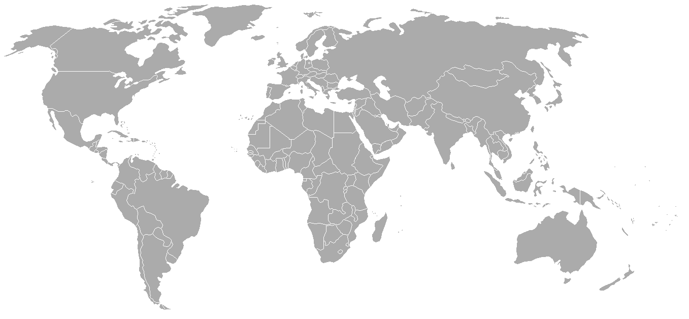
Map of the world with 1970 borders. Differences with 1985 map include: Portuguese Timor separate from Indonesia, Sikkim independent from India, North and South Vietnam separate, Walvis Bay not part of South West Africa.
Should be accurate for the period between January 4, 1969 (Spain hands over Ifni to Morocco), December 18, 1969 (Saudi-Kuwaiti neutral zone partioned between Kuwait and Saudi Arabia), and May 16, 1975 (Sikkim becomes part of India). Further information see: List of national border changes since World War I
| Blank maps of the world for historical use | |
| pre-1800 | |
|
19th century | |
|
20th century | |
|
1902 · 1912 · 1914 · WWI · Aug 1918 · 1920 · 1921 · 1924 · 1926 · 1935 · 1937 · Mar 1938 · Oct 1938 · Mar 1939 · Oct 1939 · WWII · Nov 1942 · May 1945 · 1957 · 1959 · 1962 · 1968 · 1970 · 1985 · 1990 · 1993 | |
|
21st century | |
| (this template: · view · discuss ) | |
.PNG)
การอนุญาตใช้สิทธิ

|
อนุญาตให้คัดลอก แจกจ่ายและ/หรือดัดแปรเอกสารนี้ภายใต้เงื่อนไขของสัญญาอนุญาตเอกสารเสรีของกนู รุ่น 1.2 หรือรุ่นใด ๆ นับจากนี้ที่ออกโดยมูลนิธิซอฟต์แวร์เสรี โดยไม่มีส่วนใดห้ามแก้ไข ไม่มีข้อความปกหน้าและปกหลัง สำเนาของสัญญาอนุญาตรวมอยู่ในส่วนชื่อ สัญญาอนุญาตเอกสารเสรีของกนูhttp://www.gnu.org/copyleft/fdl.htmlGFDLGNU Free Documentation Licensetruetrue |
| ไฟล์นี้อยู่ภายใต้สัญญาอนุญาต ครีเอทีฟคอมมอนส์ แบบแสดงที่มา-อนุญาตแบบเดียวกัน 3.0 ต้นฉบับ | ||
| ||
| ป้ายแสดงสถานะลิขสิทธิ์นี้ถูกเพิ่มเพื่อให้เป็นไปตามการเปลี่ยนแปลงสัญญาอนุญาตของมูลนิธิวิกิมีเดีย จาก GFDL ไปยัง GFDL ควบคู่กับ CC-BY-SA 3.0http://creativecommons.org/licenses/by-sa/3.0/CC BY-SA 3.0Creative Commons Attribution-Share Alike 3.0truetrue |
| Annotations InfoField | This image is annotated: View the annotations at Commons |
Conflict between Argentina - United Kingdom in Falkland Islands / Islas Malvinas.
คำบรรยายโดยย่อ
ไอเทมที่แสดงอยู่ในไฟล์นี้
ประกอบด้วย
media type อังกฤษ
image/png
checksum อังกฤษ
79542df6ee3ef9c534436c48f8cbfe608b37a91a
data size อังกฤษ
49,148 ไบต์
628 พิกเซล
1,357 พิกเซล
ประวัติไฟล์
คลิกวันที่/เวลาเพื่อดูไฟล์ที่ปรากฏในขณะนั้น
| วันที่/เวลา | รูปย่อ | ขนาด | ผู้ใช้ | ความเห็น | |
|---|---|---|---|---|---|
| ปัจจุบัน | 09:50, 24 กันยายน 2550 | | 1,357 × 628 (48 กิโลไบต์) | Hoshie | put the (N/S) Yemen boundary in white due to the fact the boundaries in southern Saudi Arabia have been disputed, undemarcated, or undisclosed over the years. |
| 08:22, 6 สิงหาคม 2550 |  | 1,357 × 628 (48 กิโลไบต์) | Hoshie | added Cabinda, under same lic. as orginal. | |
| 09:59, 29 มกราคม 2550 |  | 1,357 × 628 (48 กิโลไบต์) | Hoshie | added the Canal Zone | |
| 17:29, 28 มกราคม 2550 |  | 1,357 × 628 (48 กิโลไบต์) | Hoshie | Saudi Arabia-Yemen boundry did not exist during this time. | |
| 16:02, 5 มกราคม 2550 |  | 1,357 × 628 (48 กิโลไบต์) | Roke~commonswiki | Blank map of the world in 1970. Differences with 1985 map include: Portugese Timor separate from Indonesia, Sikkim independent from India, North and South Vietnam separate, Walvis Bay not part of South Africa. [[Categor |
หน้าที่มีภาพนี้
ไม่มีหน้าใดโยงมาที่ภาพนี้
การใช้ไฟล์ข้ามโครงการ
วิกิอื่นต่อไปนี้ใช้ไฟล์นี้:
- การใช้บน ca.wikipedia.org
- การใช้บน de.wikipedia.org
- การใช้บน es.wikipedia.org
- การใช้บน fr.wikipedia.org
- การใช้บน nl.wikipedia.org
- การใช้บน zh.wikipedia.org