ไฟล์:Island_of_Ireland_relief_location_map.png
From Wikipedia, the free encyclopedia
ขนาดของตัวอย่างนี้: 481 × 599 พิกเซล ความละเอียดอื่น: 192 × 240 พิกเซล | 385 × 480 พิกเซล | 616 × 768 พิกเซล | 822 × 1,024 พิกเซล | 1,450 × 1,807 พิกเซล
ดูภาพที่มีความละเอียดสูงกว่า (1,450 × 1,807 พิกเซล, ขนาดไฟล์: 2.07 เมกะไบต์, ชนิดไมม์: image/png)
| รูปภาพหรือไฟล์เสียงนี้ ต้นฉบับอยู่ที่ คอมมอนส์ รายละเอียดด้านล่าง เป็นข้อความที่แสดงผลจาก ไฟล์ต้นฉบับในคอมมอนส์
|
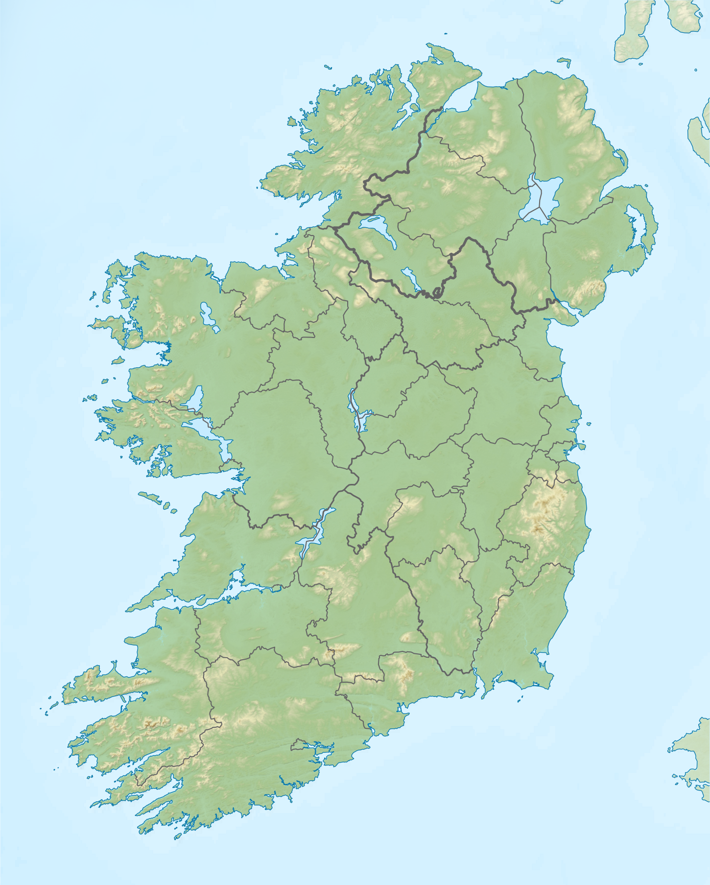
| คำอธิบายIsland of Ireland relief location map.png |
Relief map of Ireland Equirectangular map projection on WGS 84 datum, with N/S stretched 170% Geographic limits:
|
| วันที่ | |
| แหล่งที่มา |
Shuttle Radar Topography Mission
National Geospatial-Intelligence Agency
File:Island of Ireland location map.svg: Rannpháirtí anaithnid
|
| ผู้สร้างสรรค์ | Nilfanion |
| การอนุญาต (การใช้ไฟล์นี้ใหม่) |
ไฟล์นี้อยู่ภายใต้สัญญาอนุญาต ครีเอทีฟคอมมอนส์ แบบแสดงที่มา-อนุญาตแบบเดียวกัน 3.0 ต้นฉบับ
|
คำบรรยายโดยย่อ
เพิ่มคำบรรยายทรรทัดเดียวเพื่อขยายความว่าไฟล์นี้มีอะไร
ไอเทมที่แสดงอยู่ในไฟล์นี้
ประกอบด้วย
บางค่าที่ไม่มีไอเทมวิกิสนเทศ
15 เมษายน 2012
ประวัติไฟล์
คลิกวันที่/เวลาเพื่อดูไฟล์ที่ปรากฏในขณะนั้น
| วันที่/เวลา | รูปย่อ | ขนาด | ผู้ใช้ | ความเห็น | |
|---|---|---|---|---|---|
| ปัจจุบัน | 19:36, 26 พฤษภาคม 2562 | | 1,450 × 1,807 (2.07 เมกะไบต์) | RaviC | updated per Wikipedia:Graphics_Lab/Map_workshop#Ireland_Relief_Map_-_2014_Changes |
| 11:07, 8 พฤษภาคม 2555 |  | 1,450 × 1,807 (1.75 เมกะไบต์) | Spideog | Removed dark blue shading at top left for aesthetic balance reasons. It was distracting, and the the map is for terrestrial rather than bathymetric purposes. | |
| 05:44, 16 เมษายน 2555 |  | 1,450 × 1,807 (1.6 เมกะไบต์) | Nilfanion | {{Information |Description=Relief map of Ireland Equirectangular map projection on WGS 84 datum, with N/S stretched 170% Geographic limits: *West: 11.0° W *East: 5.0° W *North: 55.6° N *South: 51.2° N |Source= [[w:Shuttle Radar Topo... |
หน้าที่มีภาพนี้
หน้าต่อไปนี้ โยงมาที่ภาพนี้:
การใช้ไฟล์ข้ามโครงการ
วิกิอื่นต่อไปนี้ใช้ไฟล์นี้:
- การใช้บน ar.wikipedia.org
- การใช้บน az.wikipedia.org
- การใช้บน be.wikipedia.org
- การใช้บน bn.wikipedia.org
- การใช้บน ceb.wikipedia.org
- การใช้บน ce.wikipedia.org
- การใช้บน da.wikipedia.org
- การใช้บน de.wikipedia.org
- การใช้บน en.wikipedia.org
- Achill Island
- Battle of the Boyne
- Newgrange
- Rock of Cashel
- MacGillycuddy's Reeks
- Hill of Tara
- Magh Slécht
- Lough Derg, County Donegal
- RMS Lusitania
- Turlough Hill
- Mourne Mountains
- Copeland Islands
- Valentia Island
- Skellig Islands
- Carrauntoohil
- Lough Owel
- Lough Ennell
- Treaty of Limerick
- Lough Swilly
- Lough Allen
- Lough Gur
- Mount Brandon
- Lebor na hUidre
- Clarkstown radio transmitter
ดูการใช้ข้ามโครงการเพิ่มเติมของไฟล์นี้
ข้อมูลเกี่ยวกับภาพ
ภาพนี้มีข้อมูลเพิ่มเติม ซึ่งส่วนใหญ่มาจากกล้องดิจิตอลหรือสแกนเนอร์ที่สามารถเก็บข้อมูลดังกล่าวไว้รวมกับภาพได้ ถ้าภาพนี้ถูกปรับปรุงแก้ไขหรือเปลี่ยนแปลงจากเดิม ข้อมูลบางอย่างจะยังคงไม่เปลี่ยนแปลงเหมือนภาพที่ถูกปรับปรุงแก้ไขนั้น
| ความละเอียดแนวนอน | 47.24 dpc |
|---|---|
| ความละเอียดแนวตั้ง | 47.24 dpc |
| ซอฟต์แวร์ที่ใช้ |
|