File:Black_Sea_map_blank.png
維基百科,自由的 encyclopedia
預覽大小:781 × 600 像素。 其他解析度:313 × 240 像素 | 625 × 480 像素 | 1,000 × 768 像素 | 1,280 × 983 像素 | 2,006 × 1,541 像素。
原始檔案 (2,006 × 1,541 像素,檔案大小:574 KB,MIME 類型:image/png)
摘要
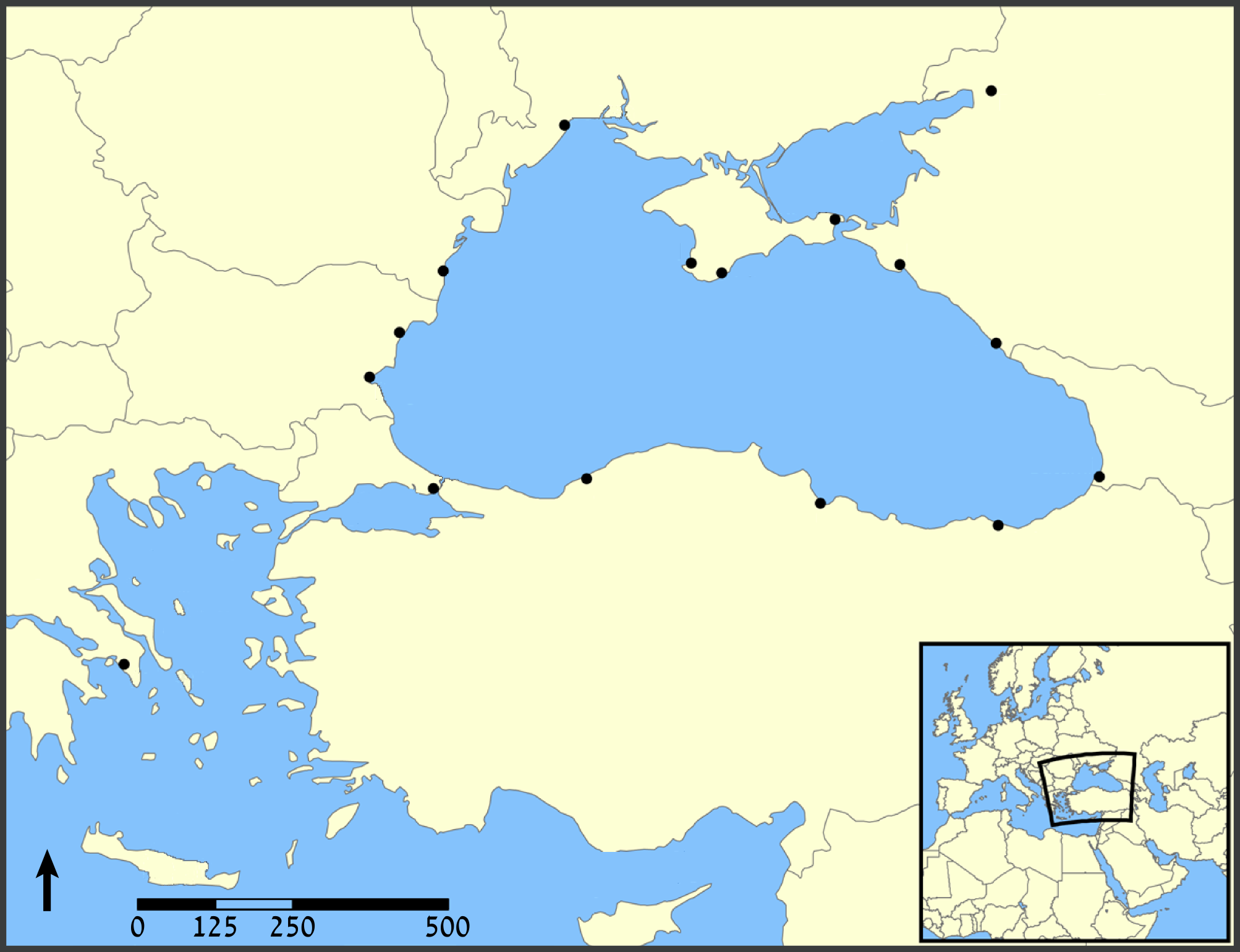
| 描述Black Sea map blank.png | A map showing the location of the Black Sea and some of the large or prominent ports around it. The Sea of Azov and Sea of Marmara are also labelled. |
| 日期 | (UTC) |
| 來源 |
本檔案衍生自: Black Sea map.png: |
| 作者 |
|
| 其他版本 |
[編輯]
|


.png)


| 這是一張修飾過的圖片,即本圖片是用軟體修改過後的版本,修改的方式或內容有:blank。原版圖片來源:Black Sea map.png。修改者:Amirki (talk)。
|
授權條款
我,本作品的著作權持有者,決定用以下授權條款發佈本作品:
| 此檔案採用共享創意 姓名標示-相同方式分享 3.0 未在地化版本授權條款。 | ||
| ||
| 已新增授權條款標題至此檔案,作為GFDL授權更新的一部份。http://creativecommons.org/licenses/by-sa/3.0/CC BY-SA 3.0Creative Commons Attribution-Share Alike 3.0truetrue |

|
已授權您依據自由軟體基金會發行的無固定段落、封面文字和封底文字GNU自由文件授權條款1.2版或任意後續版本,對本檔進行複製、傳播和/或修改。該協議的副本列在GNU自由文件授權條款中。http://www.gnu.org/copyleft/fdl.htmlGFDLGNU Free Documentation Licensetruetrue |
您可以選擇您需要的授權條款。
原始上傳日誌
This image is a derivative work of the following images:
- File:Black_Sea_map.png licensed with Cc-by-sa-3.0-migrated, GFDL
- 2007-07-10T18:10:36Z NormanEinstein 1200x915 (382990 Bytes) Updated maps to add Russian city of Sochi.
- 2007-05-07T19:11:11Z NormanEinstein 1200x912 (378400 Bytes) Corrected city name typo.
- 2006-05-29T13:10:42Z NormanEinstein 1200x914 (136455 Bytes) Reduced image size.
- 2005-07-25T14:54:05Z NormanEinstein 1200x916 (487643 Bytes) A map showing the location of the Black Sea and some of the large or prominent ports around it. The Sea of Azov and Sea of Maramara are also labelled. Created by NormanEinstein, July 25, 2005. {{GFDL-self}} [[Category:Maps
Uploaded with derivativeFX
說明
添加單行說明來描述出檔案所代表的內容
在此檔案描寫的項目
描繪內容
GNU自由文檔許可證1.2或更高版本 繁體中文 (已轉換拼寫)
多媒體型式 繁體中文 (已轉換拼寫)
image/png
587,727 位元組
1,541 像素
2,006 像素
檔案歷史
點選日期/時間以檢視該時間的檔案版本。
| 日期/時間 | 縮圖 | 尺寸 | 用戶 | 備註 | |
|---|---|---|---|---|---|
| 目前 | 2012年8月3日 (五) 14:43 | | 2,006 × 1,541(574 KB) | Amirki | . |
| 2012年8月3日 (五) 14:39 |  | 1,954 × 1,538(559 KB) | Amirki | == {{int:filedesc}} == {{Information |Description=A map showing the location of the Black Sea and some of the large or prominent ports around it. The Sea of Azov and Sea of Marmara are also labelled. |Source={{Derived from|Black_Sea_map.png|display=50}... |
檔案用途
沒有使用此檔案的頁面。
詮釋資料
此檔案中包含擴展的資訊。這些資訊可能是由數位相機或掃描器在建立時或數位化過程中所加入。
如果此檔案的來源檔案已被修改,一些資訊在修改後的檔案中將不能完全反映出來。
| 水平解析度 | 59.06 dpc |
|---|---|
| 垂直解析度 | 59.06 dpc |
| 使用軟體 |