File:Map_of_Peru_Demis.png
維基百科,自由的 encyclopedia
預覽大小:423 × 600 像素。 其他解析度:169 × 240 像素 | 338 × 480 像素 | 840 × 1,191 像素。
原始檔案 (840 × 1,191 像素,檔案大小:431 KB,MIME 類型:image/png)
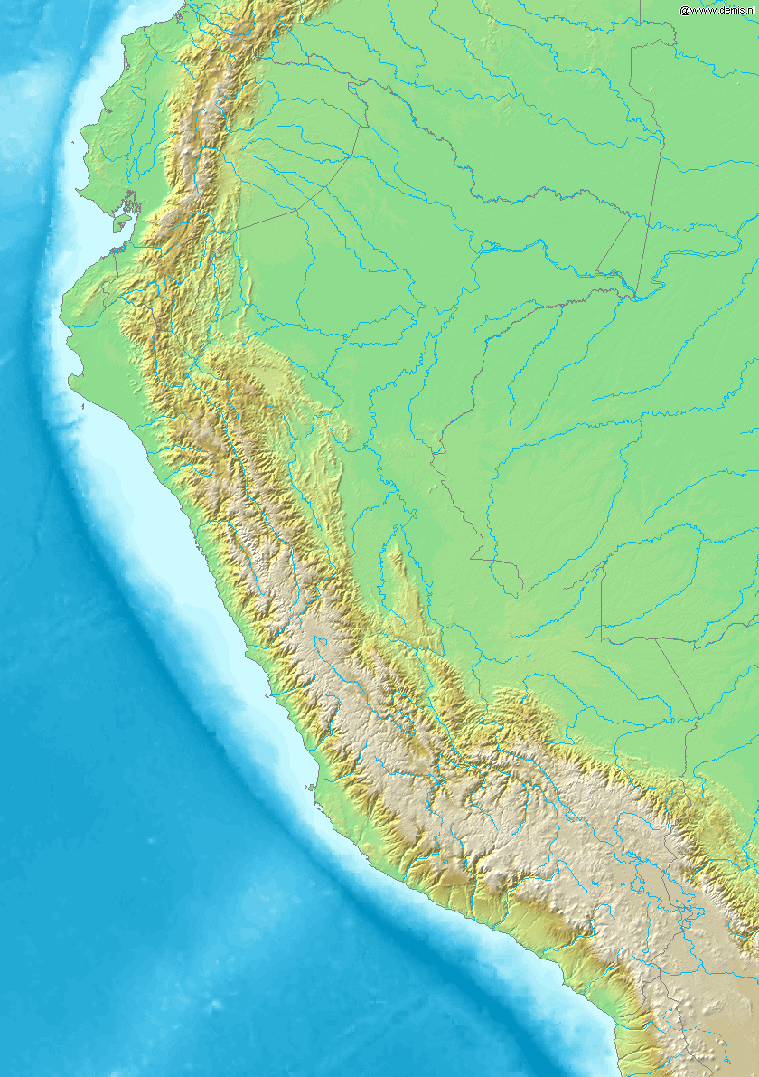
Map of Peru
Bounding box West -82.5°, South -19.5°, East -67.5°, North 1.5°. Center at 9°00′00″S 75°00′00″W / 9.00000°S 75.00000°W / -9.00000; -75.00000.
| Public domainPublic domainfalsefalse |
This image is in the public domain because it came from the site https://www.demis.nl/products/web-map-server/examples/ and was released by the copyright holder. Permission is granted to copy, distribute and/or modify this map since it is based on free of copyright images from: www.demis.nl. See also approval email on de.wp and its clarification.
Deutsch | English | македонски | മലയാളം | Nederlands | slovenščina | +/− |
| Public domainPublic domainfalsefalse |
| This work has been released into the public domain by its copyright holder, www.demis.nl. This applies worldwide. 這可能在某些國家不合法,如果是的話: www.demis.nl授予任何人有權利使用此作品於任何用途,除受法律約束外,不受任何限制。 Public domainPublic domainfalsefalse |
說明
添加單行說明來描述出檔案所代表的內容
在此檔案描寫的項目
描繪內容
檔案歷史
點選日期/時間以檢視該時間的檔案版本。
| 日期/時間 | 縮圖 | 尺寸 | 使用者 | 備註 | |
|---|---|---|---|---|---|
| 目前 | 2006年12月20日 (三) 20:26 | | 840 × 1,191(431 KB) | Mats Halldin~commonswiki | Map of Peru Bounding box West -82.5°, South -19.5°, East -67.5°, North 1.5°. Center at {{coor d|9.00000|S|75.00000|W|scale:12600000}}. {{demis-pd}} category:maps of Peru |
檔案用途
全域檔案使用狀況
以下其他 wiki 使用了這個檔案:
- ar.wikipedia.org 的使用狀況
- ast.wikipedia.org 的使用狀況
- bg.wikipedia.org 的使用狀況
- bs.wikipedia.org 的使用狀況
- ceb.wikipedia.org 的使用狀況
- ckb.wikipedia.org 的使用狀況
- en.wikipedia.org 的使用狀況
- es.wikipedia.org 的使用狀況
- fa.wikipedia.org 的使用狀況
- gd.wikipedia.org 的使用狀況
- it.wikipedia.org 的使用狀況
- kn.wikipedia.org 的使用狀況
- la.wikipedia.org 的使用狀況
- lv.wikipedia.org 的使用狀況
- pl.wikipedia.org 的使用狀況
- tg.wikipedia.org 的使用狀況
- uk.wikipedia.org 的使用狀況
- vi.wikipedia.org 的使用狀況
- war.wikipedia.org 的使用狀況
詮釋資料
此檔案中包含其他資訊,這些資訊可能是由數位相機或掃描器在建立或數位化過程中所新增的。若檔案自原始狀態已被修改,一些詳細資料可能無法完整反映出已修改的檔案。
| 檔案修改日期時間 | 2006年12月20日 (三) 20:24 |
|---|