Fayl:Europe_satellite_image_location_map_Britain_To_Turkey.jpg
From Wikipedia, the free encyclopedia
Sınaq göstərişi ölçüsü: 773 × 600 piksel. Digər ölçülər: 309 × 240 piksel | 619 × 480 piksel | 990 × 768 piksel | 1.280 × 993 piksel | 2.560 × 1.986 piksel | 3.807 × 2.954 piksel.
Faylın orijinalı (3.807 × 2.954 piksel, fayl həcmi: 1,8 MB, MIME növü: image/jpeg)
| Bu fayl "Vikimedia Commons"dadır və digər layihələrdə istifadə edilə bilər. |
 |
Faylın təsvir səhifəsinə get |
| İzahEurope satellite image location map Britain To Turkey.jpg |
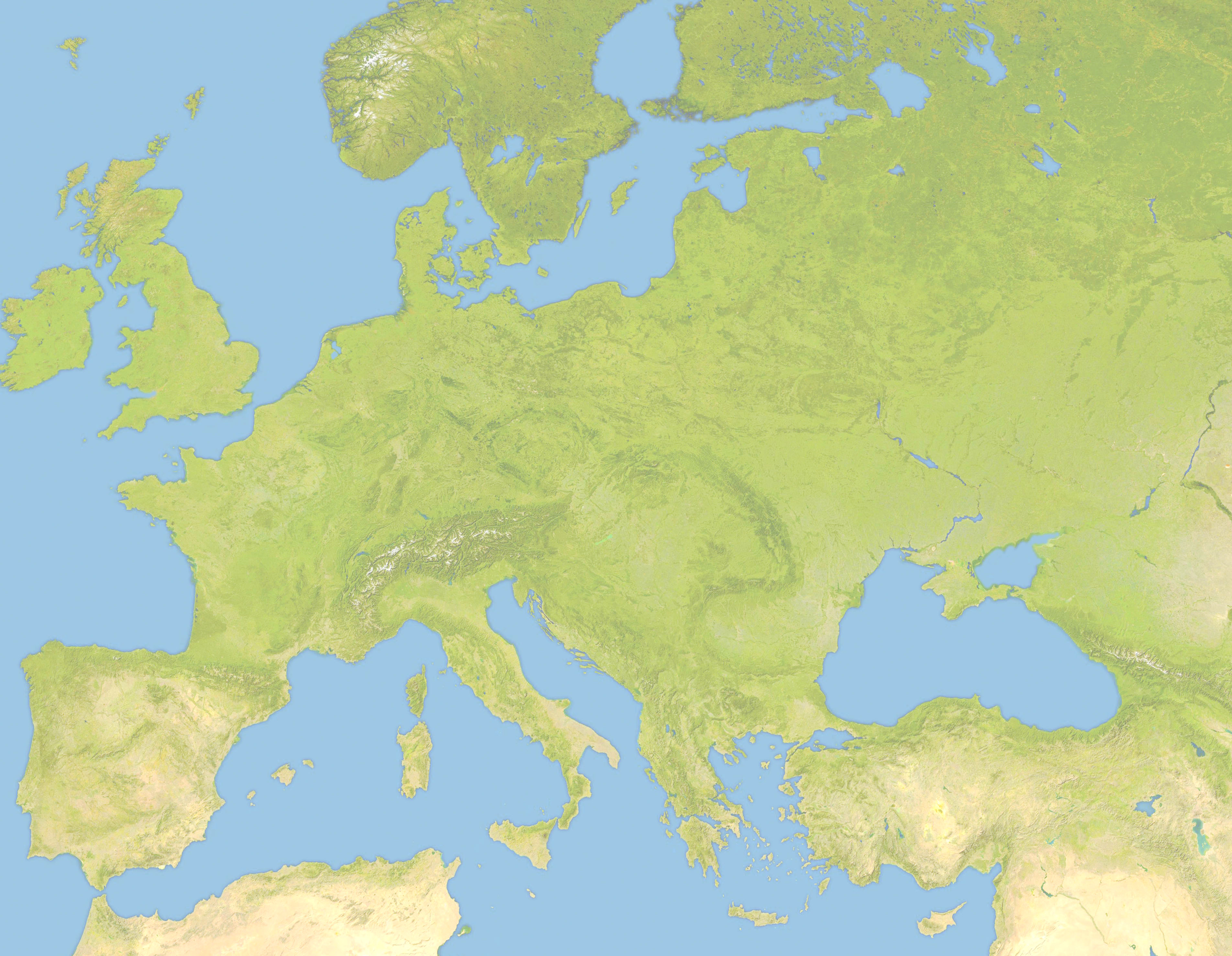
Deutsch: Positionskarte von Europa, Satellitenbild Quadratische Plattkarte, N-S-Streckung 150 %. Geographische Begrenzung der Karte: *N: 63.5° N * S: 34° N * W: -10.25° W * E: 46.8° E English: Location map of Europe, satellite image Equirectangular projection, N/S stretching 150 %. Geographic limits of the map: * N: 63.5° N * S: 34° N * W: -10.25° W * E: 46.8° E |
| Tarix | (UTC) |
| Mənbə | |
| Müəllif |
|
| Bu təsvirin redaktəsi, orijinala əsaslanaraq rəqəmsal qaydadadır. Dəyişiklik: Lighter and Geographic limits of the map: * N: 63.5° N * S: 34° N * W: -10.25° W * E: 46.8° E. İlkin təsvir buradadır: Europe satellite image location map.jpg. Redaktə etdi Victuallers.
|
I, the copyright holder of this work, hereby publish it under the following license:
| Public domainPublic domainfalsefalse |
| Mən, bu əsərin müəllif hüquqlarının sahibi kimi, əsəri ictimai mülkiyyətə verirəm. Bu icazə bütün dünyada qüvvədədir. In some countries this may not be legally possible; if so: Bunun qanunla mümkün olmadığı hallarda: İstənilən şəxsə, istənilən məqsəd üçün, qanunlar tərəfindən qadağan edilməyincə, heç bir şərt qoymadan bu işdən istifadə haqqını bağışlayıram. |
Orijinal yükləmə gündəliyi
This image is a derivative work of the following images:
- File:Europe_satellite_image_location_map.jpg licensed with PD-self
- 2008-09-28T12:40:05Z NordNordWest 5668x3800 (1915310 Bytes) {{Information |Description= {{de|Positionskarte von [[:de:Europa|Europa]], Satellitenbild}} Quadratische Plattkarte, N-S-Streckung 150 %. Geographische Begrenzung der Karte: * N: 74° N * S: 34° N * W: 25° W * O: 60° O {{e
Uploaded with derivativeFX
Captions
Add a one-line explanation of what this file represents
Items portrayed in this file
təsvir edir
copyright status ingilis
22 iyun 2010
Faylın tarixçəsi
Faylın əvvəlki versiyasını görmək üçün gün/tarix bölməsindəki tarixlərə klikləyin.
| Tarix/Vaxt | Miniatür | Ölçülər | İstifadəçi | Şərh | |
|---|---|---|---|---|---|
| hal-hazırkı | 19:57, 22 iyun 2010 | | 3.807 × 2.954 (1,8 MB) | Victuallers | {{Information |Description={{de|Positionskarte von Europa, Satellitenbild}} Quadratische Plattkarte, N-S-Streckung 150 %. Geographische Begrenzung der Karte: * N: 72° N * S: 34° N * W: 25° W * O: 60° O {{en|Location map of [[:en:Europe| |
Faylın istifadəsi
Aşağıdakı 2 səhifə bu faylı istifadə edir:
Faylın qlobal istifadəsi
Bu fayl aşağıdakı vikilərdə istifadə olunur:
- ar.wikipedia.org layihəsində istifadəsi
- ba.wikipedia.org layihəsində istifadəsi
- be.wikipedia.org layihəsində istifadəsi
- ceb.wikipedia.org layihəsində istifadəsi
- ce.wikipedia.org layihəsində istifadəsi
- cv.wikipedia.org layihəsində istifadəsi
- da.wikipedia.org layihəsində istifadəsi
- en.wikipedia.org layihəsində istifadəsi
- Third Crusade
- Battle of Pydna (148 BC)
- Battle of Narbonne (436)
- Third Battle of Tapae
- Domitian's Dacian War
- Battle of Adamclisi
- Battle of Rozgony
- Battle of Ostrovo
- Battle of Rhone Crossing
- Battle of Poznań (1704)
- Battle of Sarmizegetusa
- Siege of 's-Hertogenbosch (1601)
- History of the Expedition of the Emperor Frederick
- Siedlec Desert
- Battle of Roßbrunn
- Siege of Geertruidenberg (1351–1352)
- fa.wikipedia.org layihəsində istifadəsi
- fr.wikipedia.org layihəsində istifadəsi
- inh.wikipedia.org layihəsində istifadəsi
- it.wikipedia.org layihəsində istifadəsi
- ka.wikipedia.org layihəsində istifadəsi
- kn.wikipedia.org layihəsində istifadəsi
- ml.wikipedia.org layihəsində istifadəsi
- pt.wikipedia.org layihəsində istifadəsi
- ru.wikipedia.org layihəsində istifadəsi
- sq.wikipedia.org layihəsində istifadəsi
- tr.wikipedia.org layihəsində istifadəsi
Bu faylın qlobal istifadəsinə baxın.
Metaməlumatlar
Bu faylda fotoaparat və ya skanerlə əlavə olunmuş məlumatlar var. Əgər fayl sonradan redaktə olunubsa, bəzi parametrlər bu şəkildə göstərilənlərdən fərqli ola bilər.
| Orientasiya | 0 |
|---|---|
| Üfüqi xətt | 72 dpi |
| Şaquli xətt | 72 dpi |
| Proqram təminatı | Picasa 3.0 |
| Faylın dəyişməsi tarixi və vaxtı | 14:26, 28 sentyabr 2008 |
| Rəng sahəsi | Fotoşəkildə rəng seçimi edilməmişdir. |
| Unique image ID | e1927c7622869edab9ee94c5df613f7b |