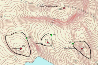
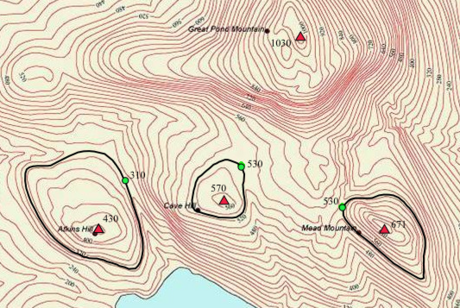
टोपोग्राफिक प्रधानता भा टोपोग्राफिक प्रोमिनेंस (अंग्रेजी: topographic prominence) शब्द के प्रयोग भूआकृति बिज्ञान में होला जहाँ ई कौनों पहाड़ के ऊँचाई के पहाड़ के निचला हिस्सा से बतावे खातिर इस्तेमाल कइल जाला। टेक्नीकल रूप से ई पहाड़ के चारो ओर अइसन सभसे कम ऊँचाई वाला कंटूर के घेरा जवना में दूसर कौनों ढेर ऊँच चोटी न घेराइल होखे, से ले के परबत के चोटी ले के ऊँचाई के माप हवे।


एकरा के ऑटोनॉमस हाइट (autonomous height) चाहे रिलेटिव हाइट (relative height), माने "सापेक्षिक ऊँचाई" भी कहल जाला।
संदर्भ
Wikiwand in your browser!
Seamless Wikipedia browsing. On steroids.
Every time you click a link to Wikipedia, Wiktionary or Wikiquote in your browser's search results, it will show the modern Wikiwand interface.
Wikiwand extension is a five stars, simple, with minimum permission required to keep your browsing private, safe and transparent.
