Waeng Noi district
District in Khon Kaen, Thailand From Wikipedia, the free encyclopedia
Waeng Noi (Thai: แวงน้อย, pronounced [wɛ̄ːŋ nɔ́ːj]; Northeastern Thai: แวงน้อย, pronounced [wɛ᷇ːŋ nɔ̂ːj]) is a district (amphoe) in the southwestern part of Khon Kaen province, northeastern Thailand.
Waeng Noi
แวงน้อย | |
|---|---|
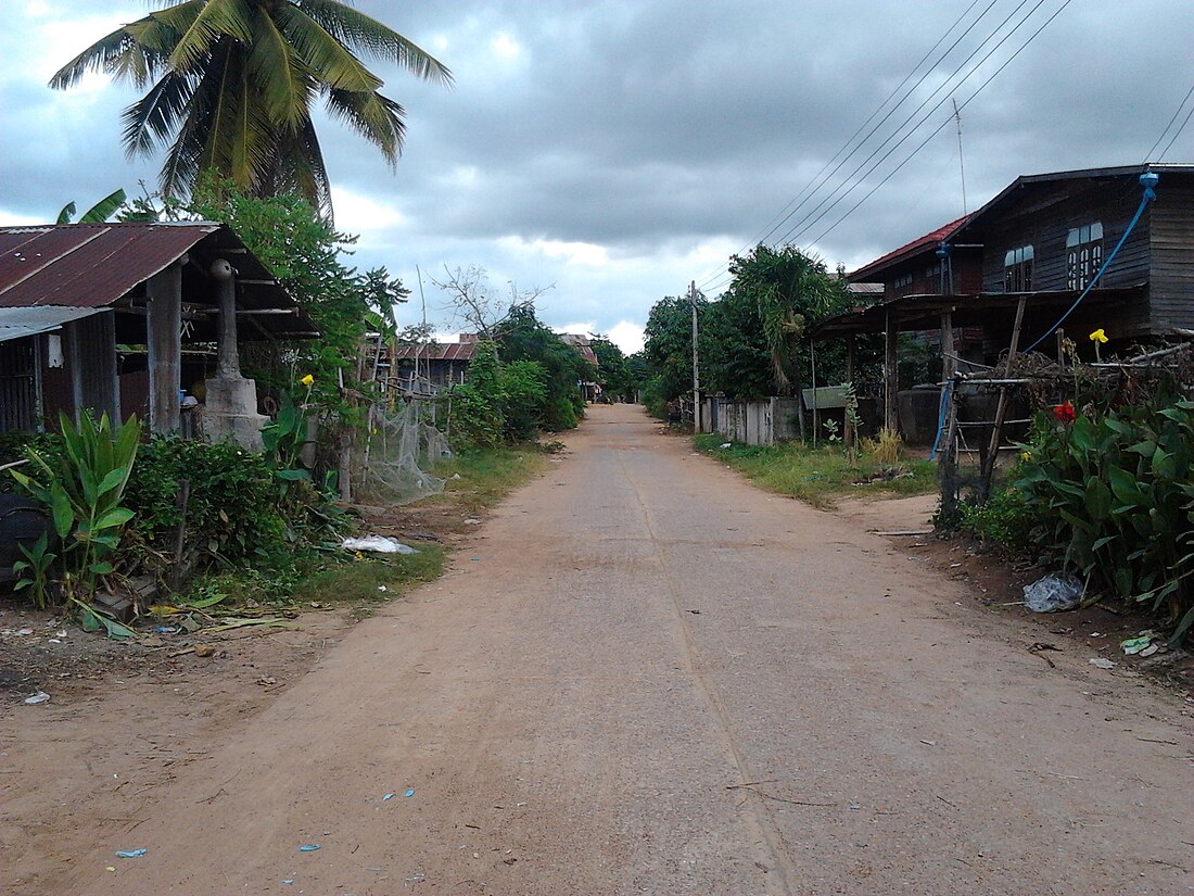
 Lahan Na village | |
 District location in Khon Kaen province | |
| Coordinates: 15°48′13″N 102°24′57″E | |
| Country | Thailand |
| Province | Khon Kaen |
| Seat | Waeng Noi |
| Area | |
| • Total | 283.6 km2 (109.5 sq mi) |
| Population (2005) | |
| • Total | 42,408 |
| • Density | 149.5/km2 (387/sq mi) |
| Time zone | UTC+7 (ICT) |
| Postal code | 40230 |
| Geocode | 4014 |
Geography
Neighboring districts are (from the north clockwise): Waeng Yai and Phon of Khon Kaen Province; Bua Lai, Bua Yai, and Kaeng Sanam Nang of Nakhon Ratchasima province; and Khon Sawan of Chaiyaphum province.
History
The minor district (king amphoe) was created on 1 June 1971, when six tambons were split off from Phon district.[1] It was upgraded to a full district on 21 August 1975.[2]
Administration
The district is divided into six subdistricts (tambons), which are further subdivided into 73 villages (mubans). Waeng Noi is a township (thesaban tambon) which covers parts of tambon Waeng Noi. There are a further six tambon administrative organizations (TAO).
| No. | Name | Thai name | Villages | Pop. | |
|---|---|---|---|---|---|
| 1. | Waeng Noi | แวงน้อย | 13 | 9,826 | |
| 2. | Kan Lueang | ก้านเหลือง | 14 | 9,343 | |
| 3. | Tha Nang Naeo | ท่านางแนว | 10 | 4,884 | |
| 4. | Lahan Na | ละหานนา | 15 | 7,589 | |
| 5. | Tha Wat | ท่าวัด | 10 | 5,712 | |
| 6. | Thang Khwang | ทางขวาง | 11 | 5,054 |
References
External links
Wikiwand in your browser!
Seamless Wikipedia browsing. On steroids.
Every time you click a link to Wikipedia, Wiktionary or Wikiquote in your browser's search results, it will show the modern Wikiwand interface.
Wikiwand extension is a five stars, simple, with minimum permission required to keep your browsing private, safe and transparent.
