File:Southbridge_Map.jpg
From Wikipedia, the free encyclopedia
No higher resolution available.
Southbridge_Map.jpg (590 × 450 pixels, file size: 78 KB, MIME type: image/jpeg)
| This image has source information, but it either links directly to the image or is a generic base URL, or is not an Internet source for an image that was likely found on the Internet. Source information should be provided so that the copyright status can be verified by others. It is requested that a better source be provided to make determination of the copyright information easier. Please provide a URL to an HTML page that contains this image. See Wikipedia:Citing sources#Multimedia for more information.
Please remove this template once better source information is provided. Notify the uploader with: {{subst:bsr-user|1=File:Southbridge Map.jpg}} ~~~~ |
Summary[edit]
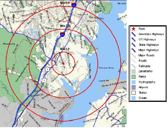
| Description |
Southbridge, Virginia | ||
|---|---|---|---|
| Source |
Self-made using U.S. Census data and maps. | ||
| Date | |||
| Author |
| ||
| Permission (Reusing this file) |
See below.
|
Licensing[edit]
| This image is a work of a United States Census Bureau employee, taken or made as part of that person's official duties. As a work of the U.S. federal government, the image is in the public domain in the United States. PD Public domain false false |  |
File history
Click on a date/time to view the file as it appeared at that time.
| Date/Time | Thumbnail | Dimensions | User | Comment | |
|---|---|---|---|---|---|
| current | 20:14, 3 November 2005 | | 590 × 450 (78 KB) | JTR555 (talk | contribs) | Self-made using U.S. Census data and maps. |
You cannot overwrite this file.
File usage
The following pages on the English Wikipedia use this file (pages on other projects are not listed):
Metadata
This file contains additional information, probably added from the digital camera or scanner used to create or digitize it.
If the file has been modified from its original state, some details may not fully reflect the modified file.
| _error | 0 |
|---|