File:20090701_Nijdam_Hoornse_Plas_Hoornse_Meer_Groningen_NL.jpg
From Wikipedia, the free encyclopedia
Size of this preview: 600 × 600 pixels. Other resolutions: 240 × 240 pixels | 480 × 480 pixels | 768 × 768 pixels | 1,024 × 1,024 pixels | 2,000 × 2,000 pixels.
Original file (2,000 × 2,000 pixels, file size: 2.59 MB, MIME type: image/jpeg)
| This is a file from the Wikimedia Commons. Information from its description page there is shown below. Commons is a freely licensed media file repository. You can help. |
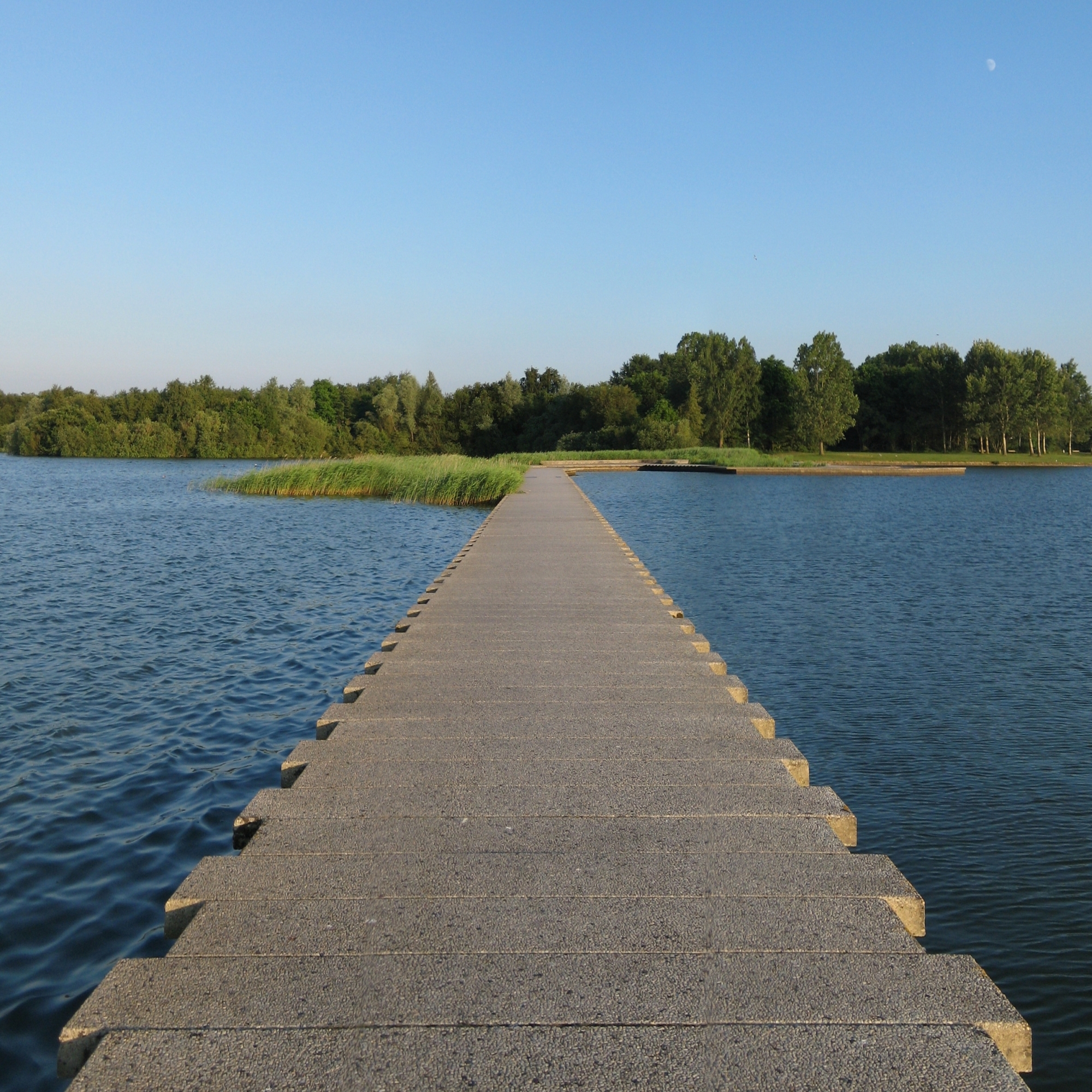
| Description20090701 Nijdam Hoornse Plas Hoornse Meer Groningen NL.jpg |
Frysk: De Nijdam, de skieding tusken it Hoornse Meer (links) en de Hoornse Plas, dy't súdlik fan Grins lizze.
Nederlands: De Nijdam, de scheiding tussen het Hoornse Meer (links) en de Hoornse Plas, die ten zuiden van de stad Groningen liggen. |
| Date | |
| Source | Own work |
| Author | |
| Attribution (required by the license) InfoField | Wutsje / Wikimedia Commons / |
InfoField | Wutsje / Wikimedia Commons |
| Permission (Reusing this file) |
This file is licensed under the Creative Commons Attribution-Share Alike 3.0 Unported license.
|
| Camera location | 53° 10′ 41.8″ N, 6° 33′ 17.5″ E | View this and other nearby images on: OpenStreetMap |
|---|
Captions
Add a one-line explanation of what this file represents
Items portrayed in this file
depicts
1 July 2009
53°10'41.801"N, 6°33'17.500"E
0.0125 second
21.44967683809627339964 millimetre
image/jpeg
fe70f68abfd23f1568742bc6baaca15896a23b84
2,714,309 byte
2,000 pixel
2,000 pixel
File history
Click on a date/time to view the file as it appeared at that time.
| Date/Time | Thumbnail | Dimensions | User | Comment | |
|---|---|---|---|---|---|
| current | 02:00, 13 May 2010 | | 2,000 × 2,000 (2.59 MB) | Wutsje | {{Information |Description={{en|1=Dam in the ''Hoornse Plas'', a recreational ground south of the Dutch city of Category:Groningen (city).}} {{fy|1=De ''Nijdam'', de skieding tusken de ''Hoornse Plas'' (rjochts) en it ''Hoornse Meer'', dy't súdlik f |
File usage
The following pages on the English Wikipedia use this file (pages on other projects are not listed):
Global file usage
The following other wikis use this file:
- Usage on incubator.wikimedia.org
- Usage on jv.wikipedia.org
- Usage on kn.wikipedia.org
- Usage on nl.wikipedia.org
- Usage on ps.wikipedia.org
- Usage on www.wikidata.org
Metadata
This file contains additional information, probably added from the digital camera or scanner used to create or digitize it.
If the file has been modified from its original state, some details may not fully reflect the modified file.
| Exposure time | 1/80 sec (0.0125) |
|---|---|
| F-number | f/8 |
| ISO speed rating | 80 |
| Date and time of data generation | 20:39, 1 July 2009 |
| Lens focal length | 21.449676838096 mm |
| Image title | De Nijdam in Groningen, de scheiding tussen de Hoornse plas (rechts) en het Hoornse Meer. |
| Author | Wutsje |
| Credit/Provider | CC-BY-SA 3.0 - Wutsje |
| Source | Eigen werk |
| Short title | De Nijdam in recreatiegebied de Hoornse Plas |
| City shown | Groningen |
| Copyright holder | CC-BY-SA 3.0 - Wutsje |
| Horizontal resolution | 300 dpi |
| Vertical resolution | 300 dpi |
| Software used | PTGui Pro (www.ptgui.com) |
| Date and time of digitizing | 20:39, 1 July 2009 |
| Color space | sRGB |
| Writer | Wutsje |
| Sublocation of city shown | Hoornse Plas |
| Province or state shown | Groningen |
| Country shown | Nederland |
| Keywords |
|