File:Abernant_village_-_geograph.org.uk_-_1185542.jpg
From Wikipedia, the free encyclopedia
No higher resolution available.
Abernant_village_-_geograph.org.uk_-_1185542.jpg (640 × 475 pixels, file size: 126 KB, MIME type: image/jpeg)
| This is a file from the Wikimedia Commons. Information from its description page there is shown below. Commons is a freely licensed media file repository. You can help. |
Summary
| DescriptionAbernant village - geograph.org.uk - 1185542.jpg |
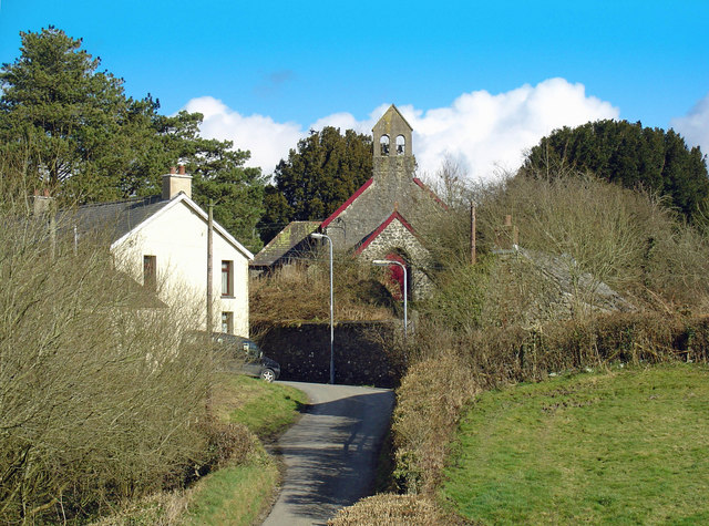
English: Abernant village |
| Date | |
| Source | From geograph.org.uk |
| Author | Dylan Moore |
| Attribution (required by the license) InfoField | Dylan Moore / Abernant village / |
InfoField | Dylan Moore / Abernant village |
| Camera location | 51° 52′ 52.4″ N, 4° 24′ 58″ W | View this and other nearby images on: OpenStreetMap |
|---|
| Object location | 51° 52′ 54.2″ N, 4° 24′ 51″ W | View this and other nearby images on: OpenStreetMap |
|---|
Licensing

|
This image was taken from the Geograph project collection. See this photograph's page on the Geograph website for the photographer's contact details. The copyright on this image is owned by Dylan Moore and is licensed for reuse under the Creative Commons Attribution-ShareAlike 2.0 license.
|
This file is licensed under the Creative Commons Attribution-Share Alike 2.0 Generic license.
Attribution: Dylan Moore
- You are free:
- to share – to copy, distribute and transmit the work
- to remix – to adapt the work
- Under the following conditions:
- attribution – You must give appropriate credit, provide a link to the license, and indicate if changes were made. You may do so in any reasonable manner, but not in any way that suggests the licensor endorses you or your use.
- share alike – If you remix, transform, or build upon the material, you must distribute your contributions under the same or compatible license as the original.
- Remove redundant categories and try to put this image in the most specific category/categories
- Remove this template
- The location categories are based on information from this geonames tool and this OpenStreetMap tool combined with a database. You can also have a look at this tool from mysociety.
- The topic category from Geograph was Village (find similar images at Geograph)
English | suomi | français | galego | עברית | magyar | македонски | മലയാളം | português | português do Brasil | Türkçe | +/−
Captions
Add a one-line explanation of what this file represents
Items portrayed in this file
depicts
some value
51°52'52.39"N, 4°24'57.96"W
1 March 2009
51°52'54.16"N, 4°24'50.76"W
image/jpeg
2baec4989da75951d54098a700c3d483d209647e
129,192 byte
475 pixel
640 pixel
File history
Click on a date/time to view the file as it appeared at that time.
| Date/Time | Thumbnail | Dimensions | User | Comment | |
|---|---|---|---|---|---|
| current | 19:59, 25 February 2011 | | 640 × 475 (126 KB) | GeographBot | == {{int:filedesc}} == {{Information |description={{en|1=Abernant village}} |date=2009-03-01 |source=From [http://www.geograph.org.uk/photo/1185542 geograph.org.uk] |author=[http://www.geograph.org.uk/profile/20707 Dylan Moore] |permission= |other_version |
File usage
The following pages on the English Wikipedia use this file (pages on other projects are not listed):
Global file usage
The following other wikis use this file:
- Usage on br.wikipedia.org
- Usage on ca.wikipedia.org
- Usage on ceb.wikipedia.org
- Usage on cy.wikipedia.org
- Usage on eu.wikipedia.org
- Usage on fr.wikipedia.org
- Usage on ga.wikipedia.org
- Usage on it.wikipedia.org
- Usage on kw.wikipedia.org
- Usage on sv.wikipedia.org
- Usage on www.wikidata.org