File:Aerial_view_of_Split_in_Croatia_(48608603871).jpg
From Wikipedia, the free encyclopedia
Size of this preview: 800 × 533 pixels. Other resolutions: 320 × 213 pixels | 640 × 426 pixels | 1,024 × 682 pixels | 1,280 × 853 pixels | 2,560 × 1,706 pixels | 5,306 × 3,535 pixels.
Original file (5,306 × 3,535 pixels, file size: 15.63 MB, MIME type: image/jpeg)
| This is a file from the Wikimedia Commons. Information from its description page there is shown below. Commons is a freely licensed media file repository. You can help. |
Summary
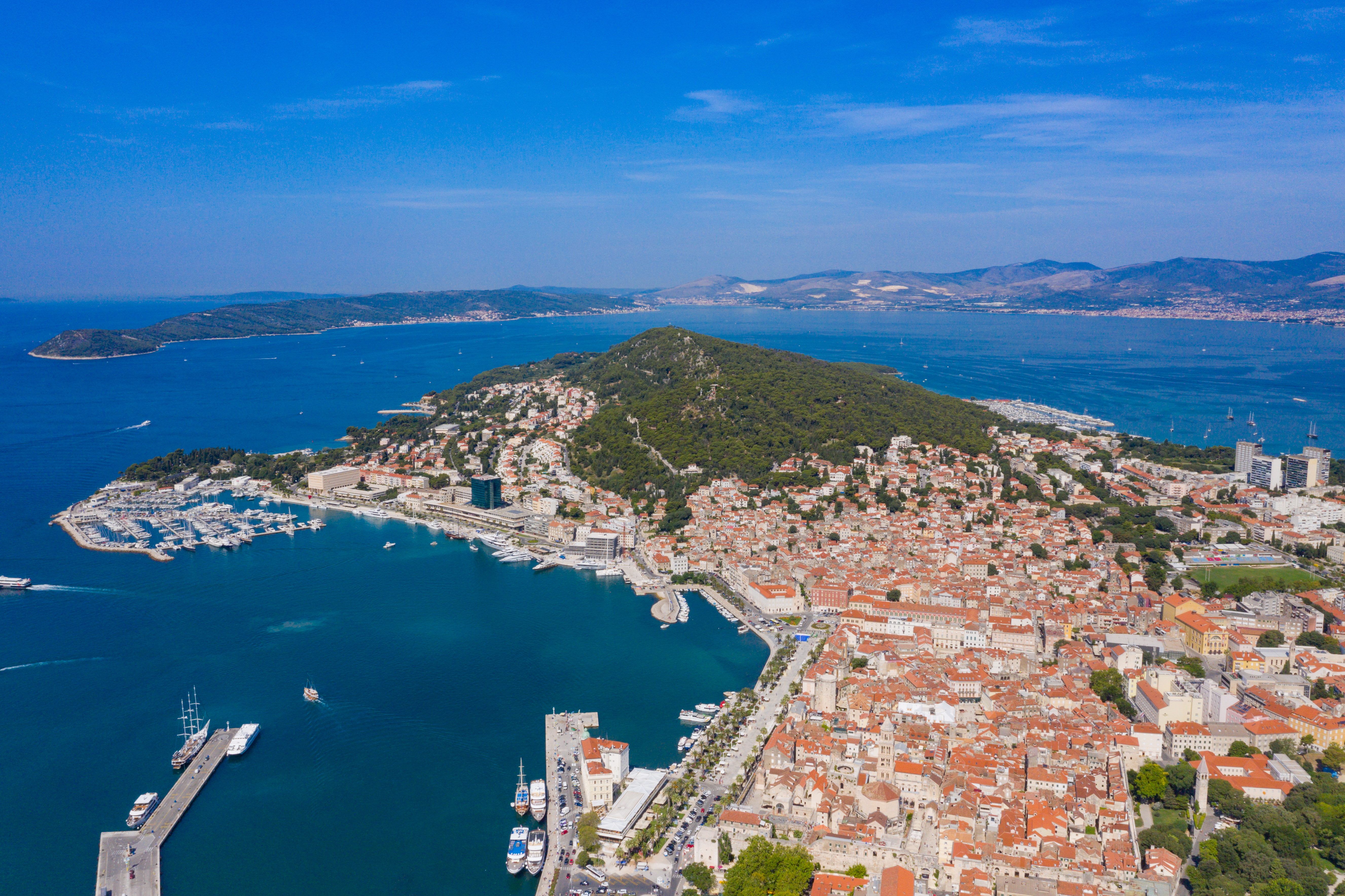
| DescriptionAerial view of Split in Croatia (48608603871).jpg | Croatia |
| Date | |
| Source | Aerial view of Split in Croatia |
| Author | dronepicr |
| Camera location | 43° 30′ 24.09″ N, 16° 26′ 49.4″ E | View this and other nearby images on: OpenStreetMap |
|---|
Licensing
This file is licensed under the Creative Commons Attribution 2.0 Generic license.
- You are free:
- to share – to copy, distribute and transmit the work
- to remix – to adapt the work
- Under the following conditions:
- attribution – You must give appropriate credit, provide a link to the license, and indicate if changes were made. You may do so in any reasonable manner, but not in any way that suggests the licensor endorses you or your use.
| This image was originally posted to Flickr by dronepicr at https://flickr.com/photos/132646954@N02/48608603871 (archive). It was reviewed on 15 September 2019 by FlickreviewR 2 and was confirmed to be licensed under the terms of the cc-by-2.0. |
15 September 2019
Captions
Add a one-line explanation of what this file represents
Items portrayed in this file
depicts
some value
43°30'24.088"N, 16°26'49.398"E
21 July 2019
0.00125 second
7.1
10.26 millimetre
100
image/jpeg
21f5a78242e31e2362f15393f5e58f854f0bcf0b
16,389,685 byte
3,535 pixel
5,306 pixel
File history
Click on a date/time to view the file as it appeared at that time.
| Date/Time | Thumbnail | Dimensions | User | Comment | |
|---|---|---|---|---|---|
| current | 20:54, 15 September 2019 | | 5,306 × 3,535 (15.63 MB) | Dronepicr | Transferred from Flickr via #flickr2commons |
File usage
The following pages on the English Wikipedia use this file (pages on other projects are not listed):
Global file usage
The following other wikis use this file:
- Usage on hu.wikipedia.org
- Usage on pl.wiktionary.org
- Usage on ru.wikipedia.org
Metadata
This file contains additional information, probably added from the digital camera or scanner used to create or digitize it.
If the file has been modified from its original state, some details may not fully reflect the modified file.
| Camera manufacturer | Hasselblad |
|---|---|
| Camera model | L1D-20c |
| Exposure time | 1/800 sec (0.00125) |
| F-number | f/7.1 |
| ISO speed rating | 100 |
| Date and time of data generation | 10:05, 21 July 2019 |
| Lens focal length | 10.26 mm |
| Latitude | 43° 30′ 24.09″ N |
| Longitude | 16° 26′ 49.4″ E |
| Altitude | 205.7 meters above sea level |
| Short title |
|
| Horizontal resolution | 240 dpi |
| Vertical resolution | 240 dpi |
| Software used | Adobe Photoshop Lightroom Classic 8.4 (Macintosh) |
| File change date and time | 22:37, 23 August 2019 |
| Exposure Program | Normal program |
| Exif version | 2.31 |
| Date and time of digitizing | 10:05, 21 July 2019 |
| Shutter speed | 9.643856 |
| APEX aperture | 5.655638 |
| Exposure bias | −1 |
| Maximum land aperture | 2.971 APEX (f/2.8) |
| Metering mode | Center weighted average |
| Light source | Daylight |
| Flash | Flash did not fire |
| Color space | sRGB |
| File source | Digital still camera |
| Scene type | A directly photographed image |
| Exposure mode | Auto exposure |
| White balance | Manual white balance |
| Digital zoom ratio | 1 |
| Focal length in 35 mm film | 28 mm |
| Scene capture type | Standard |
| Scene control | None |
| Contrast | Normal |
| Saturation | Normal |
| Sharpness | Normal |
| GPS tag version | 0.0.3.2 |
| Serial number of camera | 0K8TF8G0025771 |
| Lens used | 28.0 mm f/2.8 |
| Date metadata was last modified | 00:37, 24 August 2019 |
| Unique ID of original document | D3DC827F6D781F4A0186D111B9BEE1A5 |
| Keywords |
|
| IIM version | 4 |
.jpg)