File:Bridge_over_River_Meden.jpg
From Wikipedia, the free encyclopedia
Size of this preview: 800 × 575 pixels. Other resolutions: 320 × 230 pixels | 640 × 460 pixels | 1,024 × 737 pixels | 1,280 × 921 pixels | 2,560 × 1,841 pixels | 4,981 × 3,583 pixels.
Original file (4,981 × 3,583 pixels, file size: 4.4 MB, MIME type: image/jpeg)
| This is a file from the Wikimedia Commons. Information from its description page there is shown below. Commons is a freely licensed media file repository. You can help. |
Summary
| DescriptionBridge over River Meden.jpg |
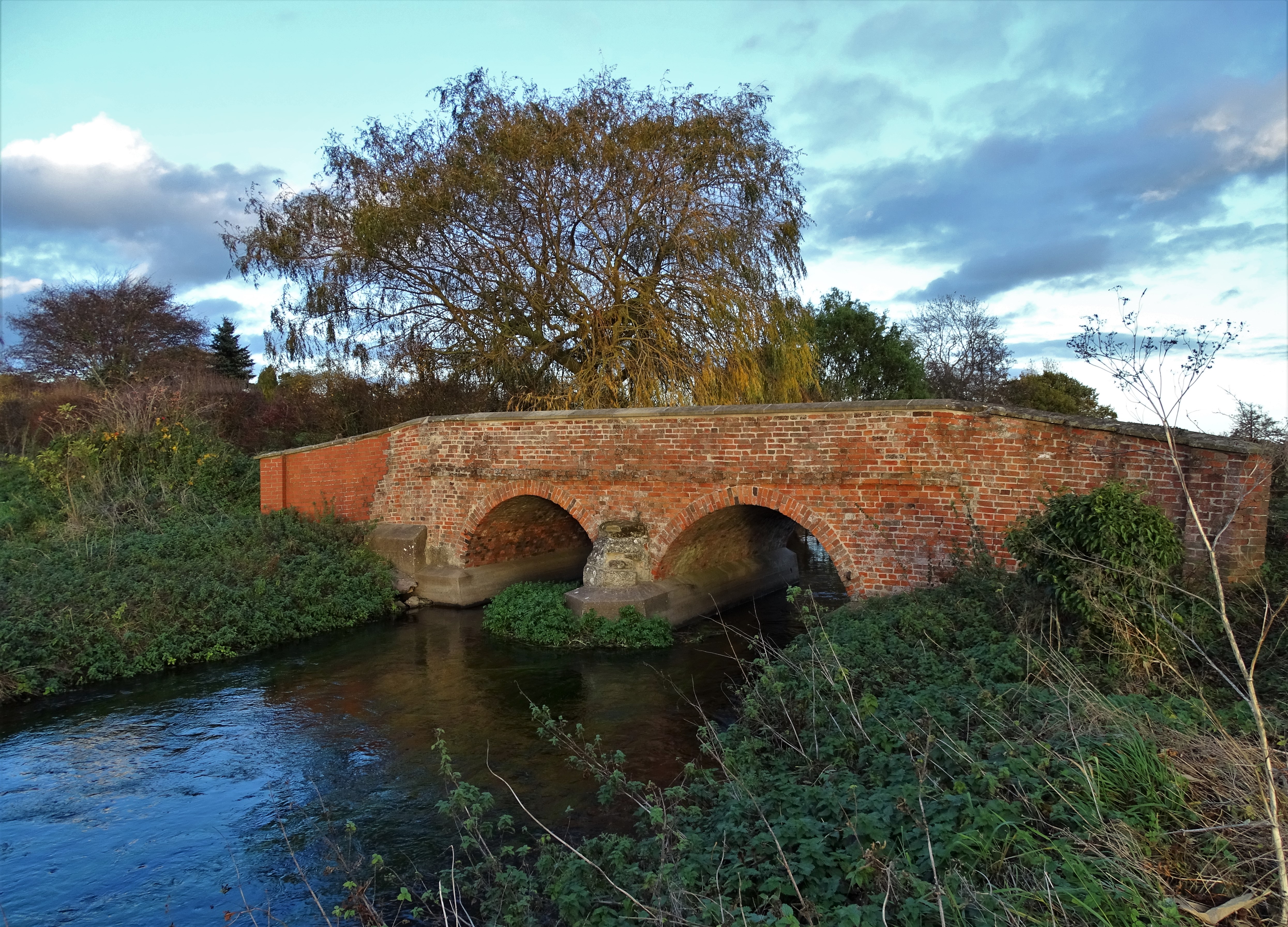
English: Photograph of a bridge over River Meden, Bothamsall, Nottinghamshire, England |
| Date | |
| Source | https://www.geograph.org.uk/photo/5975403 |
| Author | Neil Theasby |
| Attribution (required by the license) InfoField | Neil Theasby / Bridge over The River Meden at Bothamsall / |
InfoField | Neil Theasby / Bridge over The River Meden at Bothamsall |
| Camera location | 53° 15′ 00.32″ N, 0° 59′ 32.96″ W | View this and other nearby images on: OpenStreetMap |
|---|
This is a photo of listed building number 1391658. |
| Wikidata has entry Road Bridge At Ngr Sk 67335 73042 (Q26671011) with data related to this item. |
Licensing

|
This image was taken from the Geograph project collection. See this photograph's page on the Geograph website for the photographer's contact details. The copyright on this image is owned by Neil Theasby and is licensed for reuse under the Creative Commons Attribution-ShareAlike 2.0 license.
|
This file is licensed under the Creative Commons Attribution-Share Alike 2.0 Generic license.
Attribution: Neil Theasby
- You are free:
- to share – to copy, distribute and transmit the work
- to remix – to adapt the work
- Under the following conditions:
- attribution – You must give appropriate credit, provide a link to the license, and indicate if changes were made. You may do so in any reasonable manner, but not in any way that suggests the licensor endorses you or your use.
- share alike – If you remix, transform, or build upon the material, you must distribute your contributions under the same or compatible license as the original.
Captions
Add a one-line explanation of what this file represents
Items portrayed in this file
depicts
13 November 2018
53°15'0.32"N, 0°59'32.96"W
0.01 second
3.2
4.3 millimetre
image/jpeg
ee1d503587537a8399534f7da74ddc5ebb47b887
4,615,517 byte
3,583 pixel
4,981 pixel
File history
Click on a date/time to view the file as it appeared at that time.
| Date/Time | Thumbnail | Dimensions | User | Comment | |
|---|---|---|---|---|---|
| current | 07:08, 19 March 2023 | | 4,981 × 3,583 (4.4 MB) | Geograph Update Bot | Higher-resolution version from Geograph |
| 18:04, 13 March 2023 |  | 1,024 × 737 (303 KB) | Peter I. Vardy | Uploaded a work by Neil Theasby from https://www.geograph.org.uk/photo/5975403 with UploadWizard |
File usage
The following pages on the English Wikipedia use this file (pages on other projects are not listed):
Metadata
This file contains additional information, probably added from the digital camera or scanner used to create or digitize it.
If the file has been modified from its original state, some details may not fully reflect the modified file.
| Camera manufacturer | SONY |
|---|---|
| Camera model | DSC-HX400V |
| Exposure time | 1/100 sec (0.01) |
| F-number | f/3.2 |
| ISO speed rating | 80 |
| Date and time of data generation | 15:23, 13 November 2018 |
| Lens focal length | 4.3 mm |
| Latitude | 53° 15′ 0.31″ N |
| Longitude | 0° 59′ 32.97″ W |
| Altitude | 27.5 meters above sea level |
| Orientation | Normal |
| Horizontal resolution | 350 dpi |
| Vertical resolution | 350 dpi |
| Software used | Windows Photo Editor 10.0.10011.16384 |
| File change date and time | 18:50, 13 November 2018 |
| Y and C positioning | Co-sited |
| Exposure Program | Normal program |
| Exif version | 2.3 |
| Date and time of digitizing | 15:23, 13 November 2018 |
| Meaning of each component |
|
| Image compression mode | 3 |
| APEX brightness | 6.78671875 |
| Exposure bias | 0 |
| Maximum land aperture | 2.96875 APEX (f/2.8) |
| Metering mode | Pattern |
| Light source | Unknown |
| Flash | Flash did not fire, compulsory flash suppression |
| Supported Flashpix version | 1 |
| Color space | sRGB |
| File source | Digital still camera |
| Scene type | A directly photographed image |
| Custom image processing | Normal process |
| Exposure mode | Auto exposure |
| White balance | Auto white balance |
| Digital zoom ratio | 1 |
| Scene capture type | Standard |
| Contrast | Normal |
| Saturation | Normal |
| Sharpness | Normal |
| GPS time (atomic clock) | 15:23:10.57 |
| Receiver status | Measurement in progress |
| Measurement mode | 3-dimensional measurement |
| Measurement precision | Poor (1.73) |
| Speed unit | Kilometers per hour |
| Speed of GPS receiver | 0.63 |
| Reference for direction of movement | True direction |
| Direction of movement | 0 |
| Geodetic survey data used | WGS-84 |
| GPS date | 13 November 2018 |
| GPS differential correction | 0 |
| GPS tag version | 2.3.0.0 |
Retrieved from "https://en.wikipedia.org/wiki/File:Bridge_over_River_Meden.jpg"