File:Canada_Southern_Ontario_location_map_2.png
From Wikipedia, the free encyclopedia
Size of this preview: 800 × 577 pixels. Other resolutions: 320 × 231 pixels | 640 × 462 pixels | 994 × 717 pixels.
Original file (994 × 717 pixels, file size: 296 KB, MIME type: image/png)
| This is a file from the Wikimedia Commons. Information from its description page there is shown below. Commons is a freely licensed media file repository. You can help. |
Summary
| DescriptionCanada Southern Ontario location map 2.png |
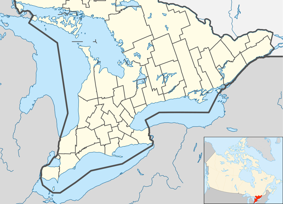
English: Location map of Southern Ontario, Canada.
Equirectangular projection, N/S stretching 155%. Geographic limits of the map:
Русский: Южная Онтарио
Українська: Південне Онтаріо |
| Date | |
| Source | File:Canada Ontario location map 2.svg |
| Author | User:NordNordWest |
| Other versions |
|


Licensing
I, the copyright holder of this work, hereby publish it under the following license:
This file is licensed under the Creative Commons Attribution-Share Alike 3.0 Unported license.
- You are free:
- to share – to copy, distribute and transmit the work
- to remix – to adapt the work
- Under the following conditions:
- attribution – You must give appropriate credit, provide a link to the license, and indicate if changes were made. You may do so in any reasonable manner, but not in any way that suggests the licensor endorses you or your use.
- share alike – If you remix, transform, or build upon the material, you must distribute your contributions under the same or compatible license as the original.
Captions
Southern Ontario
Items portrayed in this file
depicts
26 July 2009
image/png
5764535a822b0c93307bd0419b4b1ad03df0289b
302,798 byte
717 pixel
994 pixel
File history
Click on a date/time to view the file as it appeared at that time.
| Date/Time | Thumbnail | Dimensions | User | Comment | |
|---|---|---|---|---|---|
| current | 05:47, 20 July 2012 | | 994 × 717 (296 KB) | 117Avenue | slight fix |
| 05:43, 20 July 2012 |  | 994 × 717 (296 KB) | 117Avenue | {{Information |Description ={{en|1=Location map of Southern Ontario, Canada. Equirectangular projection, N/S stretching 155%. Geographic limits of the map: * N: 46.4° N * S: 41.4° N * W: 84.7° W * E: 74.0°... |
File usage
More than 100 pages use this file. The following list shows the first 100 pages that use this file only. A full list is available.
- Actinolite, Ontario
- Acton, Ontario
- Actons Corners, Ontario
- Adjala-Tosorontio
- Aldershot, Burlington
- Amherstburg
- Ancaster, Ontario
- Arnprior
- Athens, Ontario
- Aurora, Ontario
- Aylmer, Ontario
- Barrie
- Bay of Quinte
- Belleville, Ontario
- Bracebridge, Ontario
- Bradford West Gwillimbury
- Brampton
- Brantford
- Brighton, Ontario
- Brock, Ontario
- Brockville
- Brussels, Ontario
- Burlington, Ontario
- Caledon, Ontario
- Cambridge, Ontario
- Carleton Place
- Clarence-Rockland
- Clarington
- Cobourg
- Cornwall, Ontario
- East Garafraxa
- East Gwillimbury
- Elmira, Ontario
- Erin, Ontario
- Fort Erie, Ontario
- Gananoque
- Georgetown, Ontario
- Georgina, Ontario
- Gravenhurst, Ontario
- Greater Napanee
- Greater Toronto Area
- Grimsby, Ontario
- Guelph
- Halton Hills
- Hamilton, Ontario
- Huntsville, Ontario
- Ingersoll, Ontario
- Innisfil
- Keswick, Ontario
- King, Ontario
- Kingston, Ontario
- Kitchener, Ontario
- LaSalle, Ontario
- Leamington, Ontario
- Lindsay, Ontario
- Markham, Ontario
- Midland, Ontario
- Milton, Ontario
- Mono, Ontario
- New Tecumseth
- Newmarket, Ontario
- Niagara-on-the-Lake
- Niagara Falls, Ontario
- Oakville, Ontario
- Orillia
- Oshawa
- Owen Sound
- Paris, Ontario
- Parry Sound, Ontario
- Penetanguishene
- Perth, Ontario
- Peterborough, Ontario
- Pickering, Ontario
- Port Colborne
- Port Hope, Ontario
- Prescott, Ontario
- Puslinch, Ontario
- Richmond Hill, Ontario
- Sarnia
- Scugog
- Seaforth, Ontario
- Simcoe, Ontario
- Smiths Falls
- St. Catharines
- St. Thomas, Ontario
- Stratford, Ontario
- Tecumseh, Ontario
- The Nation, Ontario
- Thorold
- Tobermory, Ontario
- Trenton, Ontario
- Uxbridge, Ontario
- Vaughan
- Walkerton, Ontario
- Walpole Island First Nation
- Waterloo, Ontario
- Welland
- West Lincoln
- Whitby, Ontario
- Whitchurch-Stouffville
View more links to this file.
Global file usage
The following other wikis use this file:
- Usage on ar.wikipedia.org
- Usage on azb.wikipedia.org
- Usage on ban.wikipedia.org
- Usage on bn.wikipedia.org
- Usage on bs.wikipedia.org
- Usage on ceb.wikipedia.org
- Usage on ckb.wikipedia.org
- Usage on cs.wikipedia.org
- Usage on eo.wikipedia.org
- Usage on fa.wikipedia.org
- اکتون، انتاریو
- ادینگتون هایلندز
- ادلاید متکالف
- ادماستون/براملی
- اجاکس، انتاریو
- آلفرد و پالنتاگنت
- بلویل، انتاریو
- برنتفورد، انتاریو
- میسیساگا
- مارکهام (انتاریو)
- اسکس، انتاریو
- اورنجویل، انتاریو
- پمبروک، انتاریو
- کینگستون، انتاریو
- براکویل
- پرسکات، انتاریو
- پیتربورو، انتاریو
- وستپورت، انتاریو
- پوینت ادوارد، انتاریو
- کاسلمن، انتاریو
- اویل اسپرینگز، انتاریو
- ساندریج، انتاریو
- ساوت ریور، انتاریو
- نیوبری، انتاریو
- مریکویلد-وولفورد، انتاریو
View more global usage of this file.
Metadata
This file contains additional information, probably added from the digital camera or scanner used to create or digitize it.
If the file has been modified from its original state, some details may not fully reflect the modified file.
| Horizontal resolution | 28.35 dpc |
|---|---|
| Vertical resolution | 28.35 dpc |