File:Caste_Solomon_islands.jpg
From Wikipedia, the free encyclopedia
Caste_Solomon_islands.jpg (690 × 600 pixels, file size: 176 KB, MIME type: image/jpeg)
| This is a file from the Wikimedia Commons. Information from its description page there is shown below. Commons is a freely licensed media file repository. You can help. |
Summary
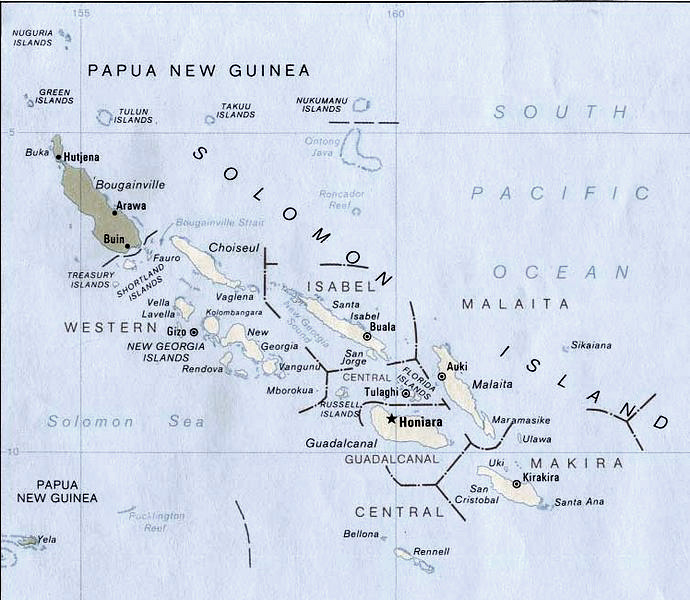
| DescriptionCaste Solomon islands.jpg |
English: Map of Solomon Islands.
According to the University of Texas, "most of the maps scanned by the University of Texas Libraries and served from this web site are in the public domain. No permissions are needed to copy them. You may download them and use them as you wish. A few maps are copyrighted, and are clearly marked as such.". As the image, when downloaded from here was no tagged, the map is PD. Insofar the battle annotation make this necessary, I put this image in the public domain as well. |
| Date | |
| Source | Modified version of Solomon Islands (Political) 1989 from Perry-Castañeda Library Map Collection: Solomon Islands Maps. |
| Author | U.S. Central Intelligence Agency |
| Permission (Reusing this file) |
Public domain |
| Other versions | File:New georgia pol89.jpg |
| This image is a copy or a derivative work of solomon_islands_pol89.jpg, from the map collection of the Perry–Castañeda Library (PCL) of the University of Texas at Austin.
This tag does not indicate the copyright status of the attached work. A normal copyright tag is still required. See Commons:Licensing for more information. |
Licensing
| Public domainPublic domainfalsefalse |
| This image is a work of a Central Intelligence Agency employee, taken or made as part of that person's official duties. As a Work of the United States Government, this image or media is in the public domain in the United States.
čeština ∙ Deutsch ∙ eesti ∙ English ∙ español ∙ français ∙ italiano ∙ português ∙ polski ∙ sicilianu ∙ slovenščina ∙ suomi ∙ Tiếng Việt ∙ български ∙ македонски ∙ русский ∙ українська ∙ বাংলা ∙ മലയാളം ∙ 한국어 ∙ 日本語 ∙ 中文 ∙ 中文(简体) ∙ 中文(繁體) ∙ العربية ∙ پښتو ∙ +/− |

|
Captions
Items portrayed in this file
depicts
1989
image/jpeg
f12c04df13b3e004a5621628456c74ed5fd1f45e
180,308 byte
600 pixel
690 pixel
File history
Click on a date/time to view the file as it appeared at that time.
| Date/Time | Thumbnail | Dimensions | User | Comment | |
|---|---|---|---|---|---|
| current | 17:18, 26 July 2006 | | 690 × 600 (176 KB) | Bradipus | |
| 20:23, 11 August 2005 |  | 690 × 600 (68 KB) | Bradipus | Solomon Islands. Maps from http://www.lib.utexas.edu/maps/ Public Domain (see http://navalhistory.flixco.info/H/118421x19817/8330/a0.htm) {{PD}} |
File usage
Global file usage
The following other wikis use this file:
- Usage on ast.wikipedia.org
- Usage on cs.wikipedia.org
- Usage on de.wiktionary.org
- Usage on es.wikipedia.org
- Usage on fr.wikipedia.org
- Usage on ru.wikipedia.org
- Usage on tr.wiktionary.org
- Usage on uk.wikipedia.org
Metadata
This file contains additional information, probably added from the digital camera or scanner used to create or digitize it.
If the file has been modified from its original state, some details may not fully reflect the modified file.
| Orientation | Normal |
|---|---|
| Horizontal resolution | 72 dpi |
| Vertical resolution | 72 dpi |
| Software used | Adobe Photoshop CS2 Windows |
| File change date and time | 19:15, 26 July 2006 |
| Y and C positioning | Centered |
| Exif version | 2 |
| Color space | sRGB |