File:Creggan_Heights,_Creggan_-_geograph.org.uk_-_1455546.jpg
From Wikipedia, the free encyclopedia
No higher resolution available.
Creggan_Heights,_Creggan_-_geograph.org.uk_-_1455546.jpg (640 × 480 pixels, file size: 67 KB, MIME type: image/jpeg)
| This is a file from the Wikimedia Commons. Information from its description page there is shown below. Commons is a freely licensed media file repository. You can help. |
Summary
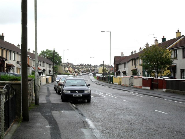
| DescriptionCreggan Heights, Creggan - geograph.org.uk - 1455546.jpg |
English: A view of Creggan Heights from Circular Road. A main thoroughfare in the Creggan estate. |
| Date | |
| Source | From geograph.org.uk |
| Author | Dean Molyneaux |
| Attribution (required by the license) InfoField | Dean Molyneaux / Creggan Heights, Creggan / |
InfoField | Dean Molyneaux / Creggan Heights, Creggan |
| Camera location | 54° 59′ 34″ N, 7° 21′ 07″ W | View this and other nearby images on: OpenStreetMap |
|---|
| Object location | 54° 59′ 40″ N, 7° 21′ 03″ W | View this and other nearby images on: OpenStreetMap |
|---|
Licensing

|
This image was taken from the Geograph project collection. See this photograph's page on the Geograph website for the photographer's contact details. The copyright on this image is owned by Dean Molyneaux and is licensed for reuse under the Creative Commons Attribution-ShareAlike 2.0 license.
|
This file is licensed under the Creative Commons Attribution-Share Alike 2.0 Generic license.
Attribution: Dean Molyneaux
- You are free:
- to share – to copy, distribute and transmit the work
- to remix – to adapt the work
- Under the following conditions:
- attribution – You must give appropriate credit, provide a link to the license, and indicate if changes were made. You may do so in any reasonable manner, but not in any way that suggests the licensor endorses you or your use.
- share alike – If you remix, transform, or build upon the material, you must distribute your contributions under the same or compatible license as the original.
Captions
Add a one-line explanation of what this file represents
Items portrayed in this file
depicts
some value
54°59'34.01"N, 7°21'7.20"W
23 August 2009
54°59'40.13"N, 7°21'3.24"W
image/jpeg
622c52dc17298b1ffa7dbe8dc7d9b931210ca382
68,940 byte
480 pixel
640 pixel
File history
Click on a date/time to view the file as it appeared at that time.
| Date/Time | Thumbnail | Dimensions | User | Comment | |
|---|---|---|---|---|---|
| current | 04:58, 2 March 2011 | | 640 × 480 (67 KB) | GeographBot | == {{int:filedesc}} == {{Information |description={{en|1=Creggan Heights, Creggan A main thoroughfare in the Creggan estate.}} |date=2009-08-23 |source=From [http://www.geograph.org.uk/photo/1455546 geograph.org.uk] |author=[http://www.geograph.org.uk/pro |
File usage
The following pages on the English Wikipedia use this file (pages on other projects are not listed):
Global file usage
The following other wikis use this file:
- Usage on es.wikipedia.org
- Usage on eu.wikipedia.org
- Usage on ga.wikipedia.org
- Usage on gd.wikipedia.org
- Usage on sv.wikipedia.org
- Usage on www.wikidata.org
Metadata
This file contains additional information, probably added from the digital camera or scanner used to create or digitize it.
If the file has been modified from its original state, some details may not fully reflect the modified file.
| _error | 0 |
|---|