File:Danesmoor_(site_of_the_Battle_of_Edgcote)_-_geograph.org.uk_-_815349.jpg
From Wikipedia, the free encyclopedia
No higher resolution available.
Danesmoor_(site_of_the_Battle_of_Edgcote)_-_geograph.org.uk_-_815349.jpg (640 × 480 pixels, file size: 71 KB, MIME type: image/jpeg)
| This is a file from the Wikimedia Commons. Information from its description page there is shown below. Commons is a freely licensed media file repository. You can help. |
Summary
| DescriptionDanesmoor (site of the Battle of Edgcote) - geograph.org.uk - 815349.jpg |
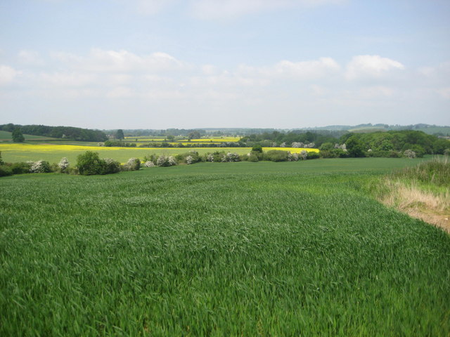
English: Danesmoor (site of the Battle of Edgcote) The Battle of Edgcote during the Wars of the Roses took place in this now tranquil vale close to the river Cherwel. The Earl of Pembroke and his mainly Welsh troops were travelling north to support Edward IV at Nottingham and came upon the rebel army led by Robin of Redesdale who were moving south to join forces with Warwick (the Kingmaker). The battle on the 26th July 1469 was a black day for the Welsh, Pembroke was captured and executed and 168 Welsh noblemen were killed along with many hundreds of common soldiers. |
| Date | |
| Source | From geograph.org.uk |
| Author | David M Jones |
| Attribution (required by the license) InfoField | David M Jones / Danesmoor (site of the Battle of Edgcote) / |
InfoField | David M Jones / Danesmoor (site of the Battle of Edgcote) |
| Camera location | 52° 06′ 53″ N, 1° 14′ 20″ W | View this and other nearby images on: OpenStreetMap |
|---|
| Object location | 52° 07′ 07″ N, 1° 14′ 17″ W | View this and other nearby images on: OpenStreetMap |
|---|
Licensing

|
This image was taken from the Geograph project collection. See this photograph's page on the Geograph website for the photographer's contact details. The copyright on this image is owned by David M Jones and is licensed for reuse under the Creative Commons Attribution-ShareAlike 2.0 license.
|
This file is licensed under the Creative Commons Attribution-Share Alike 2.0 Generic license.
Attribution: David M Jones
- You are free:
- to share – to copy, distribute and transmit the work
- to remix – to adapt the work
- Under the following conditions:
- attribution – You must give appropriate credit, provide a link to the license, and indicate if changes were made. You may do so in any reasonable manner, but not in any way that suggests the licensor endorses you or your use.
- share alike – If you remix, transform, or build upon the material, you must distribute your contributions under the same or compatible license as the original.
Captions
Add a one-line explanation of what this file represents
Items portrayed in this file
depicts
some value
24 May 2008
52°6'53.17"N, 1°14'20.04"W
52°7'6.74"N, 1°14'17.16"W
image/jpeg
File history
Click on a date/time to view the file as it appeared at that time.
| Date/Time | Thumbnail | Dimensions | User | Comment | |
|---|---|---|---|---|---|
| current | 11:45, 20 February 2011 | | 640 × 480 (71 KB) | GeographBot | == {{int:filedesc}} == {{Information |description={{en|1=Danesmoor (site of the Battle of Edgcote) The Battle of Edgcote during the Wars of the Roses took place in this now tranquil vale close to the river Cherwel. The Earl of Pembroke and his mainly Wels |
File usage
The following pages on the English Wikipedia use this file (pages on other projects are not listed):
Global file usage
The following other wikis use this file:
- Usage on cs.wikipedia.org
- Usage on da.wikipedia.org
- Usage on fa.wikipedia.org
- Usage on fr.wikipedia.org
- Usage on it.wikipedia.org
- Usage on ru.wikipedia.org
Metadata
This file contains additional information, probably added from the digital camera or scanner used to create or digitize it.
If the file has been modified from its original state, some details may not fully reflect the modified file.
| _error | 0 |
|---|
_-_geograph.org.uk_-_815349.jpg)