File:Drygarn_Fawr.jpg
From Wikipedia, the free encyclopedia
Size of this preview: 800 × 538 pixels. Other resolutions: 320 × 215 pixels | 640 × 430 pixels | 1,000 × 672 pixels.
Original file (1,000 × 672 pixels, file size: 964 KB, MIME type: image/jpeg)
| This is a file from the Wikimedia Commons. Information from its description page there is shown below. Commons is a freely licensed media file repository. You can help. |
| Camera location | 52° 12′ 49.6″ N, 3° 39′ 27.63″ W | View this and other nearby images on: OpenStreetMap |
|---|
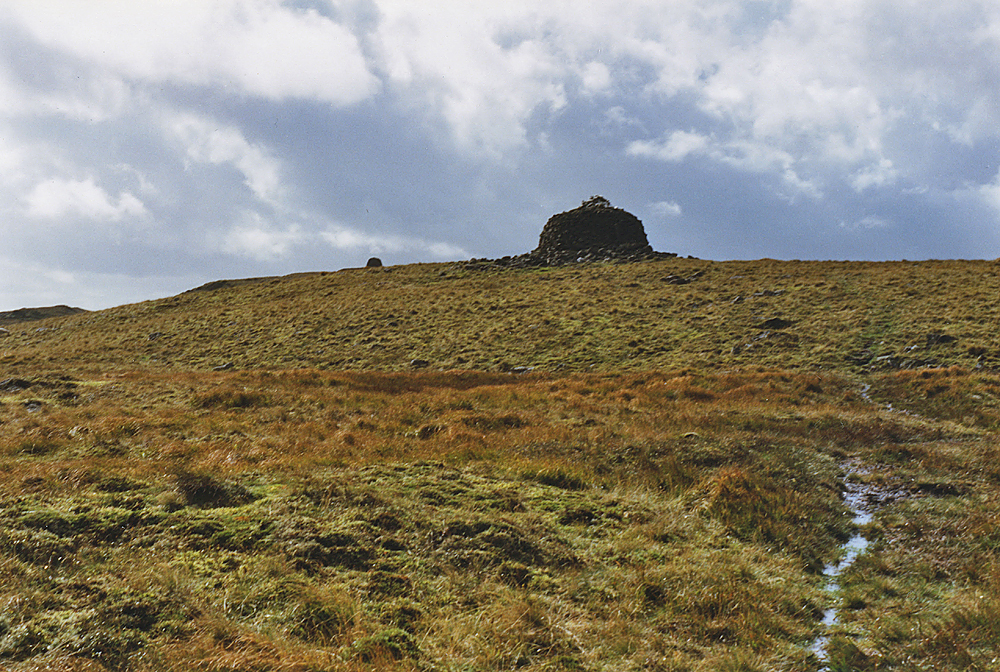
| DescriptionDrygarn Fawr.jpg | Eastern approach to Drygarn Fawr |
| Date | |
| Source | Geograph |
| Author | Nigel Brown |

|
This image was taken from the Geograph project collection. See this photograph's page on the Geograph website for the photographer's contact details. The copyright on this image is owned by Nigel Brown and is licensed for reuse under the Creative Commons Attribution-ShareAlike 2.0 license.
|
This file is licensed under the Creative Commons Attribution-Share Alike 2.0 Generic license.
Attribution: Nigel Brown
- You are free:
- to share – to copy, distribute and transmit the work
- to remix – to adapt the work
- Under the following conditions:
- attribution – You must give appropriate credit, provide a link to the license, and indicate if changes were made. You may do so in any reasonable manner, but not in any way that suggests the licensor endorses you or your use.
- share alike – If you remix, transform, or build upon the material, you must distribute your contributions under the same or compatible license as the original.
Captions
Add a one-line explanation of what this file represents
Items portrayed in this file
depicts
52°12'49.601"N, 3°39'27.634"W
12 September 1998
File history
Click on a date/time to view the file as it appeared at that time.
| Date/Time | Thumbnail | Dimensions | User | Comment | |
|---|---|---|---|---|---|
| current | 10:52, 22 July 2021 | | 1,000 × 672 (964 KB) | Geograph Update Bot | Higher-resolution version from Geograph |
| 15:21, 8 May 2008 |  | 640 × 430 (86 KB) | Ras52 | {{Information |Description=Eastern approach to Drygarn Fawr |Source=Geograph |Date=1998-09-12 |Author=Nigel Brown }} {{geograph|746274|Nigel Brown}} |
File usage
The following pages on the English Wikipedia use this file (pages on other projects are not listed):
Global file usage
The following other wikis use this file:
- Usage on cy.wikipedia.org
- Usage on eu.wikipedia.org
- Usage on lld.wikipedia.org
- Usage on nn.wikipedia.org
- Usage on www.wikidata.org
Metadata
This file contains additional information, probably added from the digital camera or scanner used to create or digitize it.
If the file has been modified from its original state, some details may not fully reflect the modified file.
| Orientation | Normal |
|---|---|
| Horizontal resolution | 800 dpi |
| Vertical resolution | 800 dpi |
| Software used | Adobe Photoshop Elements 7.0 Windows |
| File change date and time | 00:32, 12 September 2020 |
| Color space | sRGB |
| Image width | 1,000 px |
| Image height | 672 px |
| Date and time of digitizing | 01:32, 12 September 2020 |
| Date metadata was last modified | 01:32, 12 September 2020 |
| IIM version | 26,024 |
Retrieved from "https://en.wikipedia.org/wiki/File:Drygarn_Fawr.jpg"