File:Government_Island_1985.jpg
From Wikipedia, the free encyclopedia
No higher resolution available.
Government_Island_1985.jpg (639 × 479 pixels, file size: 119 KB, MIME type: image/jpeg)
| This is a file from the Wikimedia Commons. Information from its description page there is shown below. Commons is a freely licensed media file repository. You can help. |
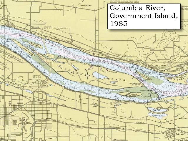
| DescriptionGovernment Island 1985.jpg | 1985 map of Government Island in Multnomah County, Oregon, USA. | ||||
| Source | United States Geological Survey [1] | ||||
| Author | USGS | ||||
| Permission (Reusing this file) |
|
Captions
Add a one-line explanation of what this file represents
Items portrayed in this file
depicts
image/jpeg
File history
Click on a date/time to view the file as it appeared at that time.
| Date/Time | Thumbnail | Dimensions | User | Comment | |
|---|---|---|---|---|---|
| current | 05:13, 10 March 2008 | | 639 × 479 (119 KB) | Axcordion~commonswiki | {{Information |Description=1985 map of Government Island in Multnomah County, Oregon, USA. |Source=United States Geological Survey [http://vulcan.wr.usgs.gov/LivingWith/Historical/LewisClark/volcanoes_lewis_clark_november_04_1805.html] |Date= |Author=USGS |
File usage
The following pages on the English Wikipedia use this file (pages on other projects are not listed):
Global file usage
The following other wikis use this file:
- Usage on ceb.wikipedia.org
- Usage on www.wikidata.org
Metadata
This file contains additional information, probably added from the digital camera or scanner used to create or digitize it.
If the file has been modified from its original state, some details may not fully reflect the modified file.
| _error | 0 |
|---|
Retrieved from "https://en.wikipedia.org/wiki/File:Government_Island_1985.jpg"