File:Horseshoe_Curve_aerial_photo,_March_2006.jpg
From Wikipedia, the free encyclopedia
Original file (3,424 × 2,336 pixels, file size: 1.72 MB, MIME type: image/jpeg)
| This is a file from the Wikimedia Commons. Information from its description page there is shown below. Commons is a freely licensed media file repository. You can help. |
|
This is an image of a place or building that is listed on the National Register of Historic Places in the United States of America. Its reference number is 66000647. |
Summary
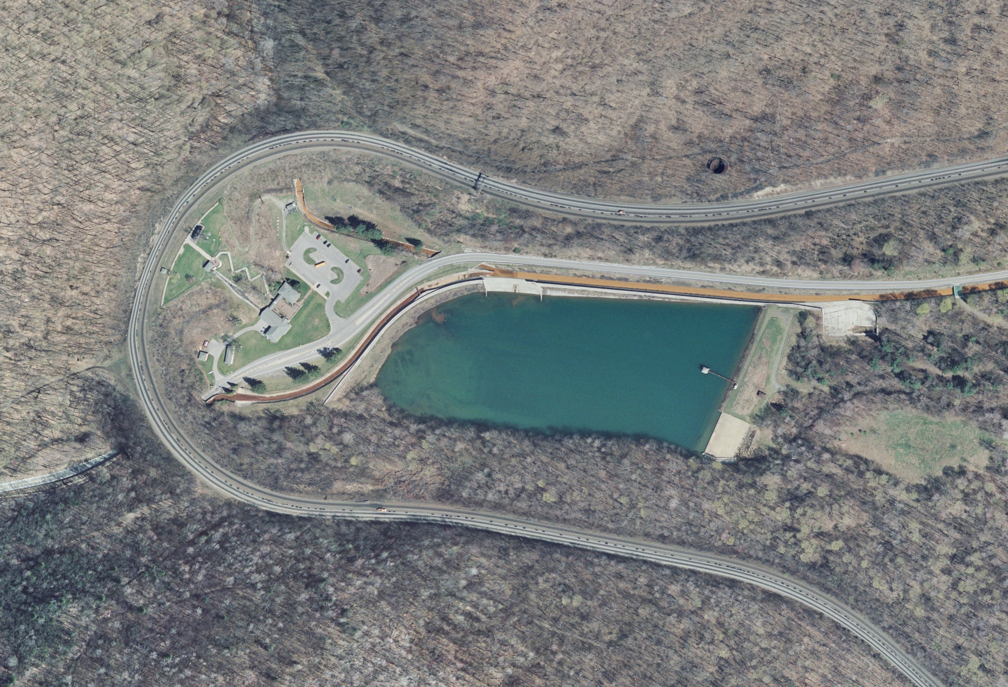
| DescriptionHorseshoe Curve aerial photo, March 2006.jpg | |
| Date | |
| Source | Seamless Data Warehouse, United States Geological Survey |
| Author | Center for Earth Resources Observation and Science, United States Geological Survey |
| Object location | 40° 29′ 51.5″ N, 78° 29′ 03″ W | View this and other nearby images on: OpenStreetMap |
|---|
Licensing
| Public domainPublic domainfalsefalse |
This image is in the public domain in the United States because it only contains materials that originally came from the United States Geological Survey, an agency of the United States Department of the Interior. For more information, see the official USGS copyright policy.
Bahasa Indonesia ∙ català ∙ čeština ∙ Deutsch ∙ eesti ∙ English ∙ español ∙ français ∙ galego ∙ italiano ∙ Nederlands ∙ português ∙ polski ∙ sicilianu ∙ suomi ∙ Tiếng Việt ∙ Türkçe ∙ български ∙ македонски ∙ русский ∙ മലയാളം ∙ 한국어 ∙ 日本語 ∙ 中文 ∙ 中文(简体) ∙ 中文(繁體) ∙ العربية ∙ فارسی ∙ +/− |
Captions
Items portrayed in this file
depicts
March 2006
40°29'51.500"N, 78°29'3.001"W
File history
Click on a date/time to view the file as it appeared at that time.
| Date/Time | Thumbnail | Dimensions | User | Comment | |
|---|---|---|---|---|---|
| current | 01:47, 16 November 2010 | | 3,424 × 2,336 (1.72 MB) | Niagara | == {{int:filedesc}} == {{Information |Description={{en|1={{w|Orthoimagery|Orthoimage}} of the {{w|Horseshoe Curve (Altoona, Pennsylvania)|Horseshoe Curve}} in {{w|Blair County, Pennsylvania|Blair County}}, {{w|Pennsylvania}}, outside of {{w|Altoona, Penns |
File usage
- Horseshoe Curve (Pennsylvania)
- Horseshoe curve
- List of Historic Civil Engineering Landmarks
- List of National Historic Landmarks in Pennsylvania
- National Register of Historic Places listings in Blair County, Pennsylvania
- User talk:Dthomsen8/List PA Test
- Wikipedia:Graphics Lab/Map workshop/Archive/Apr 2012
- Wikipedia:Main Page history/2012 November 13
- Wikipedia:Today's featured article/November 13, 2012
- Wikipedia:Today's featured article/November 2012
- Wikipedia:WikiProject National Register of Historic Places
- Wikipedia:WikiProject National Register of Historic Places/Recognized content
- Wikipedia:Wikipedia Signpost/2012-06-25/Featured content
- Wikipedia:Wikipedia Signpost/Single/2012-06-25
- Portal:Technology/Selected articles
- Portal:Technology/Selected articles/19
- Portal:Trains/Selected article/2012 archive
- Portal:Trains/Selected article/Week 27, 2012
Global file usage
The following other wikis use this file:
- Usage on ar.wikipedia.org
- Usage on de.wikipedia.org
- Usage on en.wikivoyage.org
- Usage on en.wiktionary.org
- Usage on es.wikipedia.org
- Usage on fr.wikipedia.org
- Usage on io.wikipedia.org
- Usage on ja.wikipedia.org
- Usage on th.wikipedia.org
- Usage on tl.wikipedia.org
- Usage on uk.wikipedia.org
- Usage on vi.wikipedia.org
- Usage on www.wikidata.org
- Usage on zh.wikipedia.org
Metadata
This file contains additional information, probably added from the digital camera or scanner used to create or digitize it.
If the file has been modified from its original state, some details may not fully reflect the modified file.
| _error | 0 |
|---|