File:IsraelCVFRtopography.jpg
From Wikipedia, the free encyclopedia
Size of this preview: 446 × 599 pixels. Other resolutions: 179 × 240 pixels | 357 × 480 pixels | 572 × 768 pixels | 1,233 × 1,656 pixels.
Original file (1,233 × 1,656 pixels, file size: 191 KB, MIME type: image/jpeg)
| This is a file from the Wikimedia Commons. Information from its description page there is shown below. Commons is a freely licensed media file repository. You can help. |
| DescriptionIsraelCVFRtopography.jpg | ||||
| Date | ||||
| Source | Aeronautical Information Publication - Domestic (AIP) of the Israel Civil Aviation Administration – presently Civil Aviation Authority (CAA) | |||
| Author | Etan Tal | |||
| Permission (Reusing this file) |
|
Captions
Add a one-line explanation of what this file represents
Items portrayed in this file
depicts
8 October 2009
File history
Click on a date/time to view the file as it appeared at that time.
| Date/Time | Thumbnail | Dimensions | User | Comment | |
|---|---|---|---|---|---|
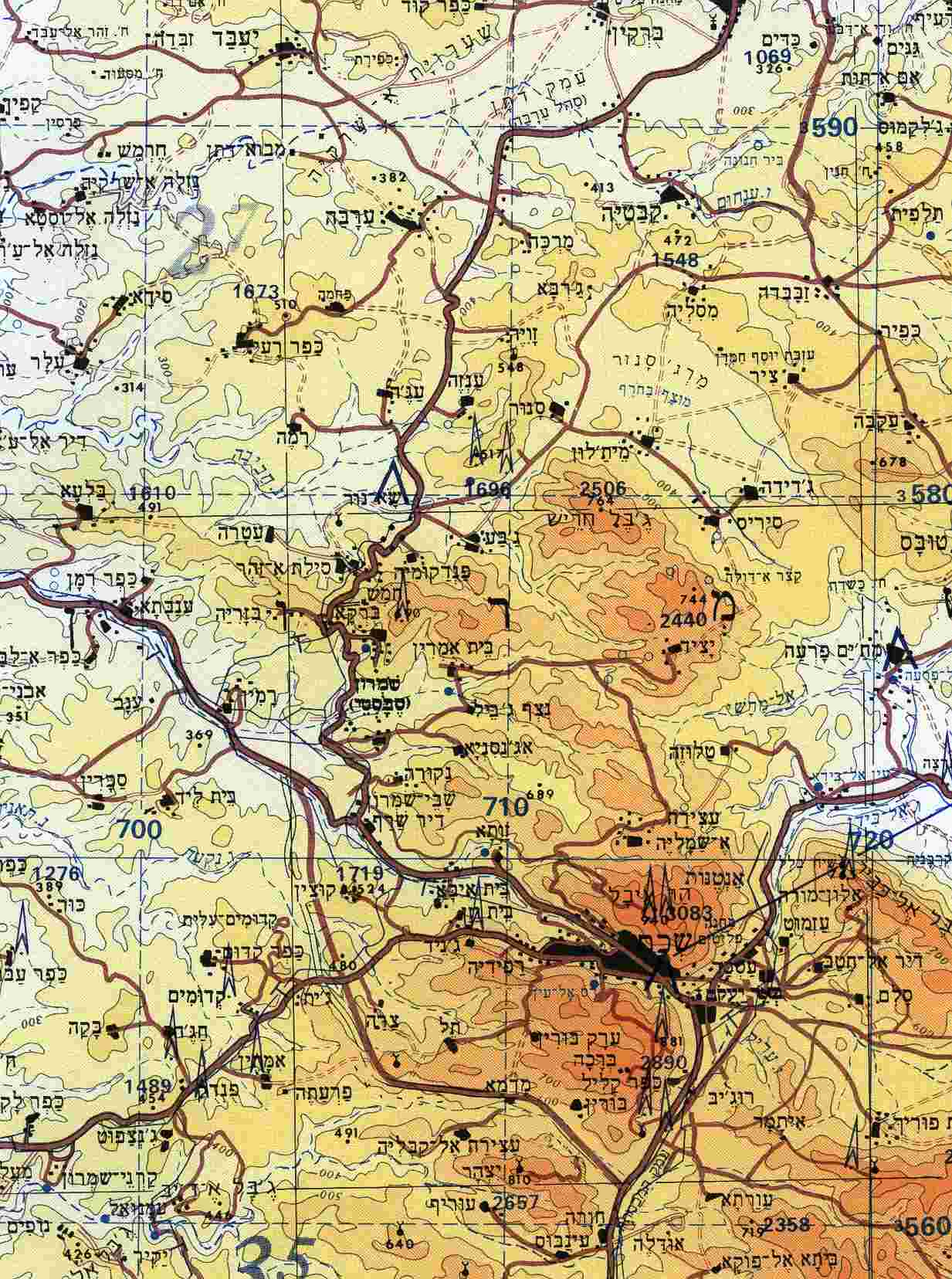
| current | 12:29, 8 October 2009 | | 1,233 × 1,656 (191 KB) | Etan J. Tal | {{Information |Description={{en|1=Section of topographical map of Nablus area (West Bank)}} |Source=Aeronautical Information Publication - Domestic (AIP) of the Israel Civil Aviation Administration – presently Civil Aviation Authority (CAA) |Aut |
File usage
The following pages on the English Wikipedia use this file (pages on other projects are not listed):
Global file usage
The following other wikis use this file:
- Usage on ar.wikipedia.org
- Usage on arz.wikipedia.org
- Usage on ast.wikipedia.org
- Usage on bn.wikipedia.org
- Usage on ca.wikipedia.org
- Usage on ceb.wikipedia.org
- Usage on diq.wikipedia.org
- Usage on el.wikipedia.org
- Usage on eo.wikipedia.org
- Usage on es.wikipedia.org
- Usage on eu.wikipedia.org
- Usage on gl.wikipedia.org
- Usage on he.wikipedia.org
- Usage on hu.wikipedia.org
- Usage on ko.wikipedia.org
- Usage on ml.wikipedia.org
- Usage on nl.wikipedia.org
- Usage on nn.wikipedia.org
- Usage on pt.wikipedia.org
- Usage on ro.wikipedia.org
- Usage on uk.wikipedia.org
- Usage on vi.wikipedia.org
- Usage on www.wikidata.org
Metadata
This file contains additional information, probably added from the digital camera or scanner used to create or digitize it.
If the file has been modified from its original state, some details may not fully reflect the modified file.
| Camera manufacturer | Epson |
|---|---|
| Camera model | PerfectionV700 |
| Width | 1,233 px |
| Height | 1,656 px |
| Horizontal resolution | 300 dpi |
| Vertical resolution | 300 dpi |
| Software used | SilverFast 6.6.1r3 |
| File change date and time | 11:13, 8 October 2009 |
| Date and time of digitizing | 11:13, 8 October 2009 |
Retrieved from "https://en.wikipedia.org/wiki/File:IsraelCVFRtopography.jpg"