File:Location_map_San_Francisco_County.png
From Wikipedia, the free encyclopedia
Size of this preview: 698 × 600 pixels. Other resolutions: 279 × 240 pixels | 559 × 480 pixels | 894 × 768 pixels | 1,192 × 1,024 pixels | 2,155 × 1,851 pixels.
Original file (2,155 × 1,851 pixels, file size: 2.42 MB, MIME type: image/png)
| This is a file from the Wikimedia Commons. Information from its description page there is shown below. Commons is a freely licensed media file repository. You can help. |

|
This map image could be re-created using vector graphics as an SVG file. This has several advantages; see Commons:Media for cleanup for more information. If an SVG form of this image is available, please upload it and afterwards replace this template with
{{vector version available|new image name}}.
It is recommended to name the SVG file “Location map San Francisco County.svg”—then the template Vector version available (or Vva) does not need the new image name parameter. |
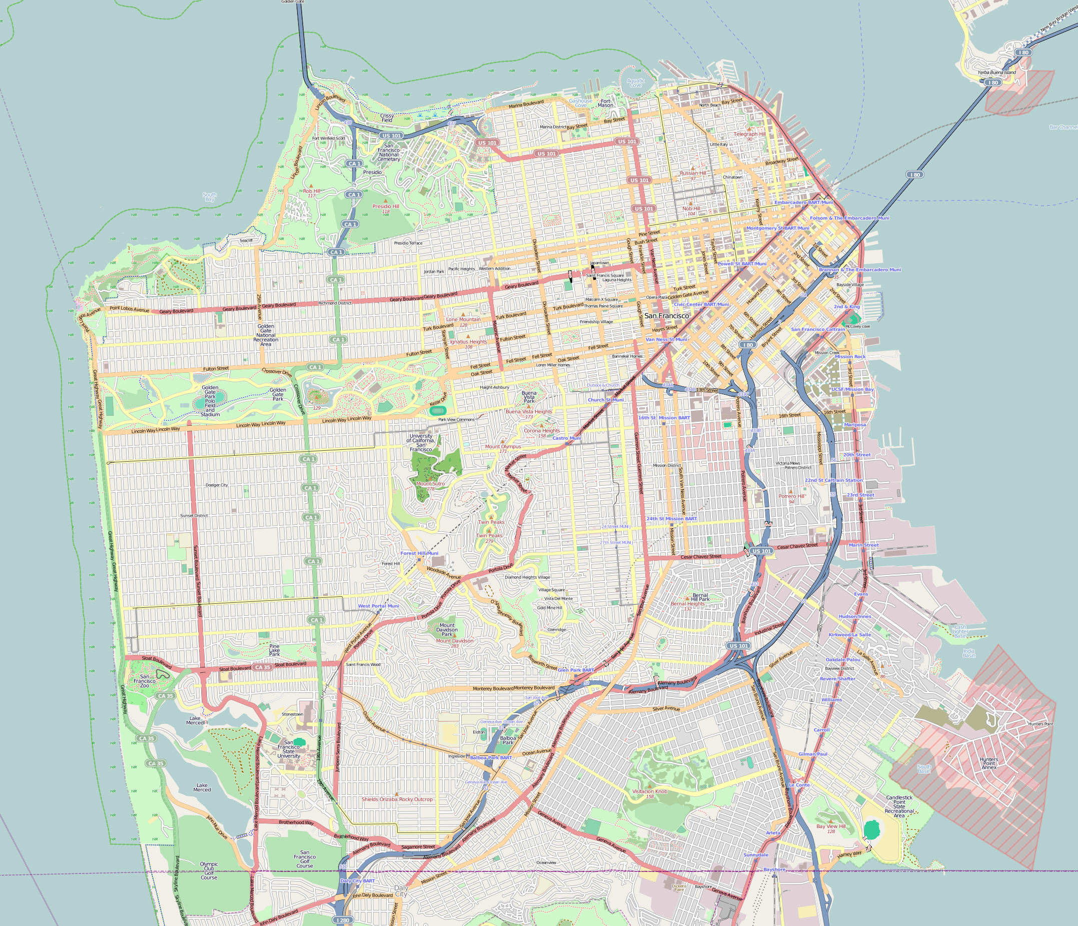
| DescriptionLocation map San Francisco County.png |
This map of San Francisco and vicinity was created from OpenStreetMap project data, collected by the community. This map may be incomplete, and may contain errors. Don't rely solely on it for navigation. |
|||||||||
| Date | (see file history) | |||||||||
| Source | openstreetmap.org | |||||||||
| Creator |
OpenStreetMap contributors |
|||||||||
| Permission (Reusing this file) |
OpenStreetMap data and maps are licensed under the Creative Commons Attribution-ShareAlike 2.0 license (CC-BY-SA 2.0). This file is licensed under the Creative Commons Attribution-Share Alike 2.0 Generic license.
|
|||||||||
| Geotemporal data | ||||||||||
| Bounding box |
|
|||||||||
| Georeferencing | Georeference the map in Wikimaps Warper If inappropriate please set warp_status = skip to hide. | |||||||||
Captions
Location map of San Francisco and vicinity created by OpenStreetMap project data collected by the community.
Items portrayed in this file
depicts
File history
Click on a date/time to view the file as it appeared at that time.
| Date/Time | Thumbnail | Dimensions | User | Comment | |
|---|---|---|---|---|---|
| current | 19:03, 9 December 2016 | | 2,155 × 1,851 (2.42 MB) | Jeanjung212 | Lossless Compressed/optimized png decreasing file size by 399140 bytes |
| 06:09, 8 February 2011 |  | 2,155 × 1,851 (2.81 MB) | Droll | {{OpenStreetMap |location=San Francisco and vicinity |authors=Droll |top= 37.8191 |bottom= 37.7013 |left= -122.5265 |right= -122.353 }} Category:OpenStreetMap maps of the United States Category:Maps of San Francisco |
File usage
More than 100 pages use this file. The following list shows the first 100 pages that use this file only. A full list is available.
- 2012 Ingleside, San Francisco homicide
- 50 United Nations Plaza Federal Office Building (San Francisco)
- Alcazar Theatre (1976)
- Alhambra Theatre (San Francisco)
- Alta Plaza Park
- American Conservatory Theater
- Apollo (storeship)
- Aquatic Park Historic District
- Asian Art Museum (San Francisco)
- Balclutha (1886)
- Bank of Italy Building (San Francisco)
- Bayview–Hunters Point, San Francisco
- Bernal Heights, San Francisco
- Bernal Heights Summit
- Buena Vista Park
- California Academy of Sciences
- Camera Obscura (San Francisco, California)
- Candlestick Point State Recreation Area
- Cartoon Art Museum
- Castro Theatre
- Central Embarcadero Piers Historic District
- China Beach, San Francisco
- City Lights Bookstore
- City of Paris Dry Goods Co.
- Cliff House, San Francisco
- Coit Tower
- Columbus Tower (San Francisco)
- Contemporary Jewish Museum
- Crocker-Amazon, San Francisco
- Curran Theatre
- Edgehill Mountain
- Excelsior District, San Francisco
- Fairmont San Francisco
- Feusier Octagon House
- Flatiron Building (San Francisco)
- Fleishhacker Pool
- Flood Building
- Folger Coffee Company Building
- Fort Funston
- Fort Miley Military Reservation
- Ghirardelli Square
- Glen Park, San Francisco
- Grandview Park
- Green Apple Books & Music
- Haas–Lilienthal House
- Hall of Transportation, Treasure Island
- Hobart Building
- Holy Name of Jesus Church (San Francisco)
- Holy Virgin Cathedral
- James C. Flood Mansion
- James R. Browning United States Court of Appeals Building
- Japanese Tea Garden (San Francisco)
- John McLaren Park
- Lafayette Park (San Francisco)
- Lands End (San Francisco)
- Lincoln Park (San Francisco)
- List of hills in San Francisco
- Lone Mountain (California)
- Lotta's Fountain
- Lowell High School (San Francisco)
- McElroy Octagon House
- Merced Manor, San Francisco
- Mid-Market, San Francisco
- Mission Dolores Park
- Mount Davidson (California)
- Musée Mécanique
- Nightingale House
- Notre-Dame-des-Victoires, San Francisco
- Oceanview, San Francisco
- One Bush Plaza
- Oracle Park
- Orpheum Theatre (San Francisco)
- Parkside, San Francisco
- Pioneer Building (San Francisco)
- Playland (San Francisco)
- Redstone Building
- Richmond District, San Francisco
- Rincon Center
- Russian Hill–Macondray Lane District
- Saint Ignatius Church (San Francisco)
- San Francisco Armory
- San Francisco Botanical Garden
- San Francisco Mint
- San Francisco War Memorial and Performing Arts Center
- Sea Cliff, San Francisco
- Strawberry Hill (San Francisco)
- Sunset District, San Francisco
- Sutro Heights Park
- Swedenborgian Church (San Francisco, California)
- The Clift Royal Sonesta Hotel
- The Lab (organization)
- Tubbs Cordage Company Office Building
- Twin Peaks (San Francisco)
- United States Customhouse (San Francisco)
- Visitacion Valley, San Francisco
- Washington Square (San Francisco)
- West Portal, San Francisco
- William Westerfeld House
- Yerba Buena Gardens
- Yerba Buena Tunnel
View more links to this file.
Global file usage
The following other wikis use this file:
- Usage on ar.wikipedia.org
- Usage on bh.wikipedia.org
- Usage on bs.wikipedia.org
- Usage on ceb.wikipedia.org
- Usage on eo.wikipedia.org
- Usage on fa.wikipedia.org
- Usage on he.wikipedia.org
- סן פרנסיסקו
- פירמידת טרנסאמריקה
- בית האופרה - יד זיכרון לנופלים
- פארק שער הזהב
- אנדרטת החוף המערבי
- פארק המשולש הוורוד
- המוזיאון היהודי העכשווי
- תיכון לוואל
- הפרסידיו של סן פרנסיסקו
- היכל האמנויות היפות (סן פרנסיסקו)
- בית הדירות ריץ קרלטון (סן פרנסיסקו)
- אנדרטת השואה (סן פרנסיסקו)
- תבנית:מפת מיקום/סן פרנסיסקו
- אוניברסיטת קליפורניה בסן פרנסיסקו
- פילמור וסט
- פילמור אודיטוריום
- שער הזהב (מצר ים)
- קונסוליית ישראל בסן פרנסיסקו
- צ'ייס סנטר
- Usage on ja.wikipedia.org
- ゴールデン・ゲート・ブリッジ
- サンフランシスコ近代美術館
- Template:公園
- Template:公園/doc
- Template:公園/testcases
- ゴールデン・ゲート・パーク
- Template:Location map United States San Francisco County
- デ・ヤング美術館
- ロンバード・ストリート (サンフランシスコ)
- モジュール:Location map/data/United States San Francisco County
- モジュール:Location map/data/United States San Francisco County/doc
- サンフランシスコ・ウォーメモリアル舞台芸術センター
- Usage on kn.wikipedia.org
- Usage on mr.wikipedia.org
- Usage on my.wikipedia.org
- Usage on sco.wikipedia.org
- Usage on simple.wikipedia.org
View more global usage of this file.