File:Map_NL_'s_Hertogenbosch.PNG
From Wikipedia, the free encyclopedia
Original file (889 × 606 pixels, file size: 31 KB, MIME type: image/png)
| This is a file from the Wikimedia Commons. Information from its description page there is shown below. Commons is a freely licensed media file repository. You can help. |
Summary
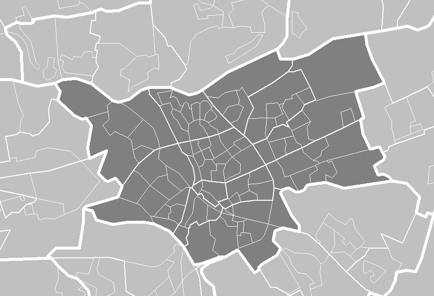
| DescriptionMap NL 's Hertogenbosch.PNG | Outline districts's_Hertogenbosch | ||||||
| Source | Centraal Bureau voor de Statistiek | ||||||
| Author | Centraal Bureau voor de Statistiek | ||||||
| Permission (Reusing this file) |
|

Licensing
| Public domainPublic domainfalsefalse |
| I, the copyright holder of this work, release this work into the public domain. This applies worldwide. In some countries this may not be legally possible; if so: I grant anyone the right to use this work for any purpose, without any conditions, unless such conditions are required by law. |
Captions
Items portrayed in this file
depicts
File history
Click on a date/time to view the file as it appeared at that time.
| Date/Time | Thumbnail | Dimensions | User | Comment | |
|---|---|---|---|---|---|
| current | 19:23, 17 May 2006 | | 889 × 606 (31 KB) | Michiel1972 | details |
| 20:16, 15 May 2006 |  | 696 × 474 (23 KB) | Michiel1972 | outline districts 's_Hertogenbosch {{Statistics Netherlands map}} |