File:Morocco_USA_Locator.png
From Wikipedia, the free encyclopedia
Size of this preview: 800 × 442 pixels. Other resolutions: 320 × 177 pixels | 640 × 354 pixels | 1,024 × 566 pixels | 1,564 × 864 pixels.
Original file (1,564 × 864 pixels, file size: 51 KB, MIME type: image/png)
| This is a file from the Wikimedia Commons. Information from its description page there is shown below. Commons is a freely licensed media file repository. You can help. |
Summary
| DescriptionMorocco USA Locator.png |
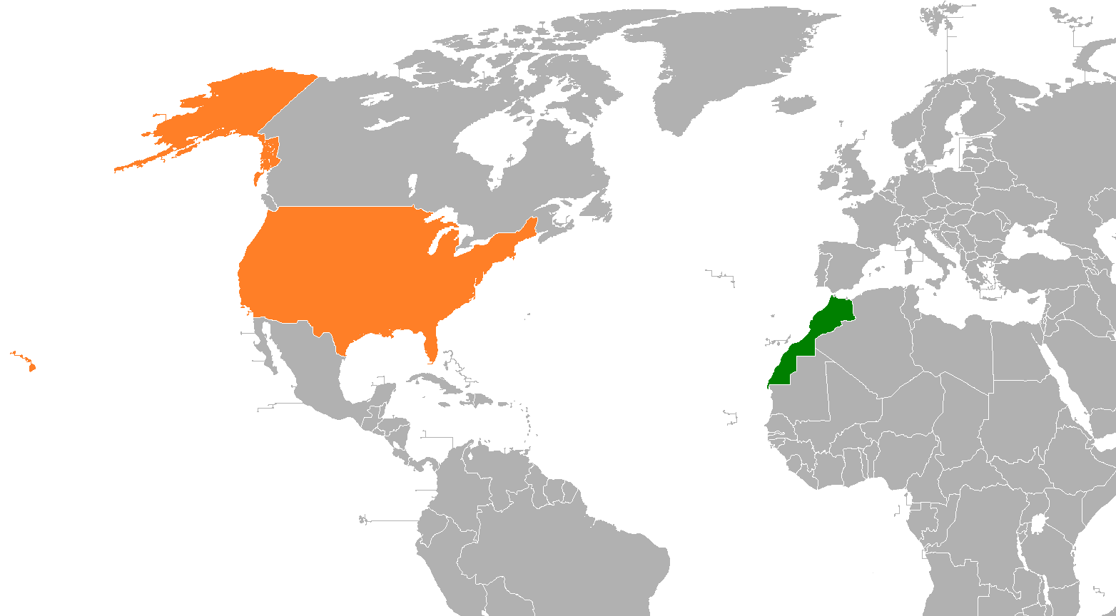
English: Morocco & USA locator map, where Western Sahara is included into Morocco |
| Date | |
| Source | Own work |
| Author | Insidema |
| Other versions |
 |
Licensing
I, the copyright holder of this work, hereby publish it under the following license:
This file is licensed under the Creative Commons Attribution-Share Alike 4.0 International license.
- You are free:
- to share – to copy, distribute and transmit the work
- to remix – to adapt the work
- Under the following conditions:
- attribution – You must give appropriate credit, provide a link to the license, and indicate if changes were made. You may do so in any reasonable manner, but not in any way that suggests the licensor endorses you or your use.
- share alike – If you remix, transform, or build upon the material, you must distribute your contributions under the same or compatible license as the original.
Captions
Add a one-line explanation of what this file represents
Items portrayed in this file
depicts
27 March 2016
image/png
File history
Click on a date/time to view the file as it appeared at that time.
| Date/Time | Thumbnail | Dimensions | User | Comment | |
|---|---|---|---|---|---|
| current | 23:19, 1 November 2021 | | 1,564 × 864 (51 KB) | Chxeese | Reverted to version as of 17:31, 6 December 2020 (UTC) |
| 18:02, 6 December 2020 |  | 800 × 353 (61 KB) | Christian Ferrer | Reverted to version as of 09:57, 27 November 2019 (UTC) | |
| 17:31, 6 December 2020 |  | 1,564 × 864 (51 KB) | Taha Khattabi | Reverted to version as of 16:09, 6 December 2020 (UTC) Map remains unchanged but zoomed in to show the proximity of the two countries. Really there is no point to reverting this. | |
| 16:57, 6 December 2020 |  | 800 × 353 (61 KB) | M.Bitton | Reverted to version as of 09:57, 27 November 2019 (UTC) | |
| 16:09, 6 December 2020 |  | 1,564 × 864 (51 KB) | Taha Khattabi | Closer view. Same map | |
| 09:57, 27 November 2019 |  | 800 × 353 (61 KB) | Karalainza | Original map | |
| 23:40, 29 March 2019 |  | 1,564 × 864 (52 KB) | Fobos92 | - | |
| 16:12, 27 March 2016 |  | 800 × 353 (61 KB) | Insidema | User created page with UploadWizard |
File usage
No pages on the English Wikipedia use this file (pages on other projects are not listed).
Global file usage
The following other wikis use this file:
- Usage on ar.wikipedia.org
- Usage on ary.wikipedia.org
- Usage on es.wikipedia.org
- Usage on fa.wikipedia.org
- Usage on he.wikipedia.org
- Usage on id.wikipedia.org
- Usage on pt.wikipedia.org
- Usage on ru.wikipedia.org
- Usage on www.wikidata.org
- Usage on zh.wikipedia.org
Metadata
This file contains additional information, probably added from the digital camera or scanner used to create or digitize it.
If the file has been modified from its original state, some details may not fully reflect the modified file.
| Horizontal resolution | 37.79 dpc |
|---|---|
| Vertical resolution | 37.79 dpc |
Retrieved from "https://en.wikipedia.org/wiki/File:Morocco_USA_Locator.png"