File:OHEHOpenStreetMap.png
From Wikipedia, the free encyclopedia
Size of this preview: 370 × 599 pixels. Other resolutions: 148 × 240 pixels | 296 × 480 pixels | 944 × 1,528 pixels.
Original file (944 × 1,528 pixels, file size: 616 KB, MIME type: image/png)
| This is a file from the Wikimedia Commons. Information from its description page there is shown below. Commons is a freely licensed media file repository. You can help. |
Summary
| DescriptionOHEHOpenStreetMap.png |
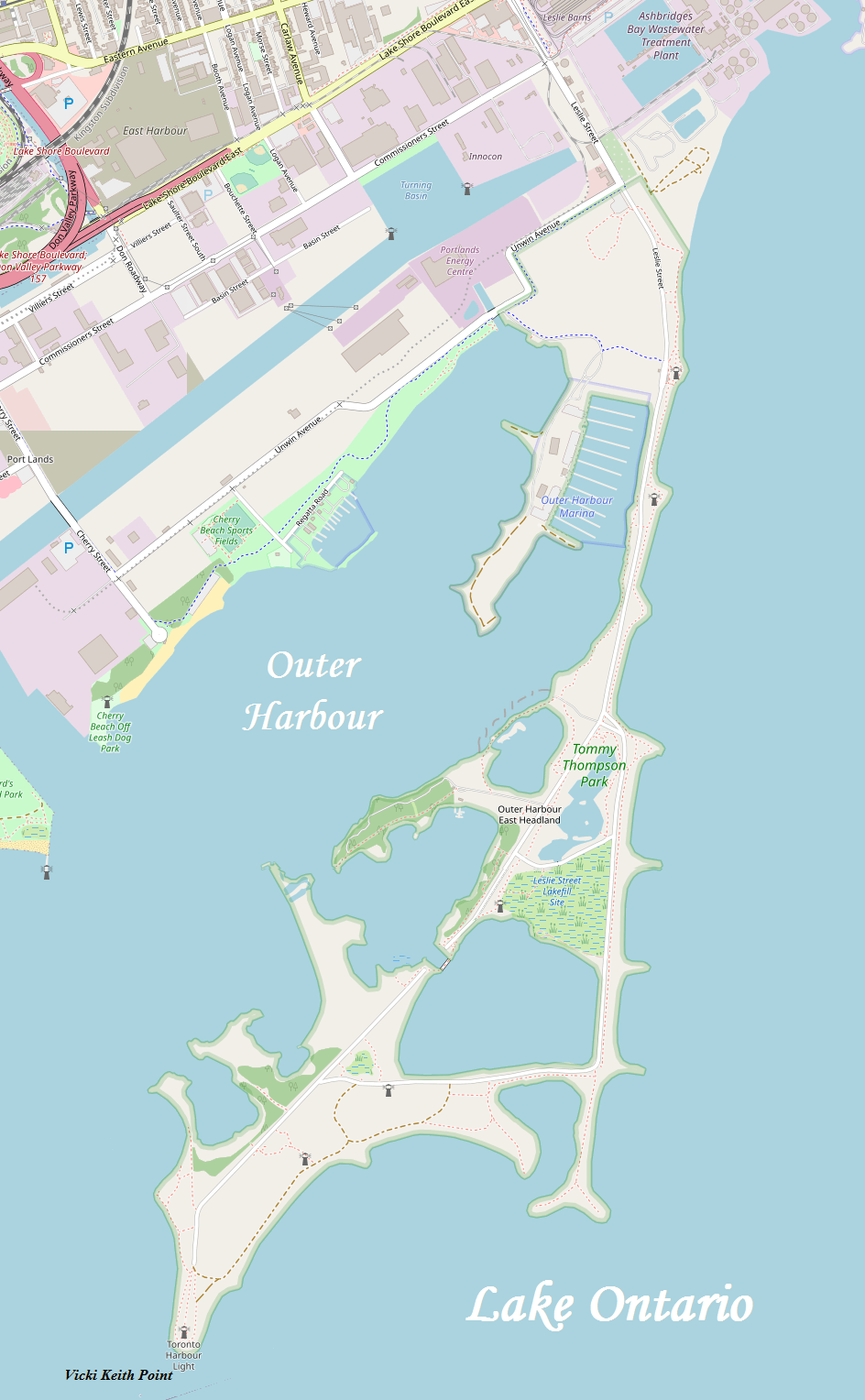
English: A map of Toronto's Outer Harbour East Headland, more commonly known as the Leslie Street Spit |
| Date | |
| Source | http://www.openstreetmap.org/ |
| Author | OpenStreetMap, modified by Kelisi |
| Permission (Reusing this file) |
The aforesaid website is freely usable to all. |
Licensing
| Public domainPublic domainfalsefalse |
| I, the copyright holder of this work, release this work into the public domain. This applies worldwide. In some countries this may not be legally possible; if so: I grant anyone the right to use this work for any purpose, without any conditions, unless such conditions are required by law. |
Captions
Add a one-line explanation of what this file represents
Items portrayed in this file
depicts
8 March 2009
image/png
File history
Click on a date/time to view the file as it appeared at that time.
| Date/Time | Thumbnail | Dimensions | User | Comment | |
|---|---|---|---|---|---|
| current | 20:21, 12 June 2020 | | 944 × 1,528 (616 KB) | Kelisi | Colours changed somewhat, more detail, more up to date — same source, though. |
| 15:03, 9 March 2009 |  | 858 × 1,336 (132 KB) | Kelisi | Same licence, same authorship. Slight misalignment in stitching corrected. | |
| 06:59, 8 March 2009 |  | 859 × 1,336 (132 KB) | Kelisi | {{Information |Description={{en|1=A map of Toronto's Outer Harbour East Headland, more commonly known as the Leslie Street Spit}} |Source=http://www.openstreetmap.org/ |Author=OpenStreetMap, modified by Kelisi |Date=2009-03-08 |Permission=The aforesaid we |
File usage
The following pages on the English Wikipedia use this file (pages on other projects are not listed):
Metadata
This file contains additional information, probably added from the digital camera or scanner used to create or digitize it.
If the file has been modified from its original state, some details may not fully reflect the modified file.
| Horizontal resolution | 37.8 dpc |
|---|---|
| Vertical resolution | 37.8 dpc |
Retrieved from "https://en.wikipedia.org/wiki/File:OHEHOpenStreetMap.png"