File:Over_the_bridge_to_Skye_2017-05-22.jpg
From Wikipedia, the free encyclopedia
Size of this preview: 800 × 534 pixels. Other resolutions: 320 × 214 pixels | 640 × 427 pixels | 1,024 × 683 pixels | 1,280 × 854 pixels | 2,560 × 1,709 pixels | 7,360 × 4,912 pixels.
Original file (7,360 × 4,912 pixels, file size: 8.34 MB, MIME type: image/jpeg)
| This is a file from the Wikimedia Commons. Information from its description page there is shown below. Commons is a freely licensed media file repository. You can help. |
Summary
| DescriptionOver the bridge to Skye 2017-05-22.jpg |
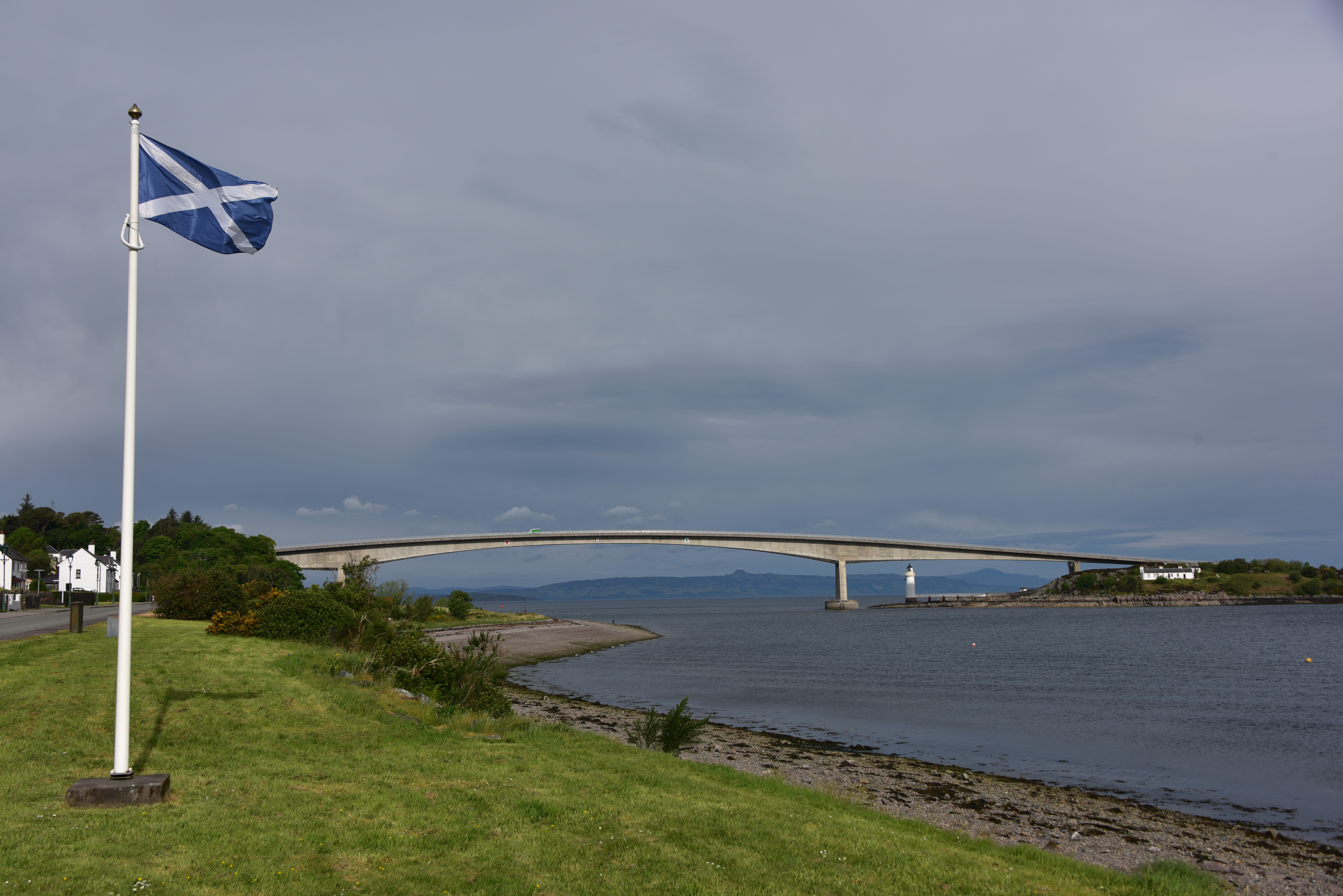
English: These days, one does not have to take a boat to the Isle of Skye dressed as a serving-maid; one can simply drive across the bridge. |
| Date | |
| Source | Own work |
| Author | August Schwerdfeger |
| Camera location | 57° 16′ 24.83″ N, 5° 43′ 58.18″ W | View this and other nearby images on: OpenStreetMap |
|---|
Licensing
I, the copyright holder of this work, hereby publish it under the following license:
This file is licensed under the Creative Commons Attribution 4.0 International license.
- You are free:
- to share – to copy, distribute and transmit the work
- to remix – to adapt the work
- Under the following conditions:
- attribution – You must give appropriate credit, provide a link to the license, and indicate if changes were made. You may do so in any reasonable manner, but not in any way that suggests the licensor endorses you or your use.
Captions
Add a one-line explanation of what this file represents
Items portrayed in this file
depicts
some value
22 May 2017
57°16'24.827"N, 5°43'58.181"W
File history
Click on a date/time to view the file as it appeared at that time.
| Date/Time | Thumbnail | Dimensions | User | Comment | |
|---|---|---|---|---|---|
| current | 04:35, 25 February 2018 | | 7,360 × 4,912 (8.34 MB) | Schwerdf | User created page with UploadWizard |
File usage
The following pages on the English Wikipedia use this file (pages on other projects are not listed):
Global file usage
The following other wikis use this file:
- Usage on id.wikipedia.org
Metadata
This file contains additional information, probably added from the digital camera or scanner used to create or digitize it.
If the file has been modified from its original state, some details may not fully reflect the modified file.
| Image title |
|
|---|---|
| Camera manufacturer | NIKON CORPORATION |
| Camera model | NIKON D810 |
| Author | August Schwerdfeger |
| Copyright holder |
|
| Exposure time | 1/250 sec (0.004) |
| F-number | f/8 |
| ISO speed rating | 64 |
| Date and time of data generation | 09:19, 22 May 2017 |
| Lens focal length | 36 mm |
| Latitude | 57° 16′ 24.83″ N |
| Longitude | 5° 43′ 58.18″ W |
| Altitude | 98 meters above sea level |
| Short title |
|
| Orientation | Normal |
| Software used | darktable 2.4.1 |
| File change date and time | 21:59, 24 February 2018 |
| Y and C positioning | Co-sited |
| Exposure Program | Normal program |
| Exif version | 2.3 |
| Date and time of digitizing | 09:19, 22 May 2017 |
| Meaning of each component |
|
| Image compression mode | 2 |
| Exposure bias | 0 |
| Maximum land aperture | 4 APEX (f/4) |
| Metering mode | Pattern |
| Light source | Unknown |
| Flash | Flash did not fire, compulsory flash suppression |
| DateTime subseconds | 66 |
| DateTimeOriginal subseconds | 66 |
| DateTimeDigitized subseconds | 66 |
| Supported Flashpix version | 1 |
| Color space | sRGB |
| Sensing method | One-chip color area sensor |
| File source | Digital still camera |
| Scene type | A directly photographed image |
| Custom image processing | Normal process |
| Exposure mode | Auto exposure |
| White balance | Auto white balance |
| Digital zoom ratio | 1 |
| Focal length in 35 mm film | 36 mm |
| Scene capture type | Landscape |
| Scene control | None |
| Contrast | Normal |
| Saturation | Normal |
| Sharpness | Normal |
| Subject distance range | Unknown |
| GPS time (atomic clock) | 08:19 |
| Satellites used for measurement | 03 |
| Reference for direction of image | Magnetic direction |
| Direction of image | 310.15 |
| Geodetic survey data used | WGS 84 |
| GPS date | 22 May 2017 |
| GPS tag version | 0.0.2.2 |
| Keywords |
|