File:Raionul_Cantemir_location_map.jpg
From Wikipedia, the free encyclopedia
Size of this preview: 468 × 599 pixels. Other resolutions: 187 × 240 pixels | 375 × 480 pixels | 599 × 768 pixels | 1,125 × 1,441 pixels.
Original file (1,125 × 1,441 pixels, file size: 493 KB, MIME type: image/jpeg)
| This is a file from the Wikimedia Commons. Information from its description page there is shown below. Commons is a freely licensed media file repository. You can help. |
Summary
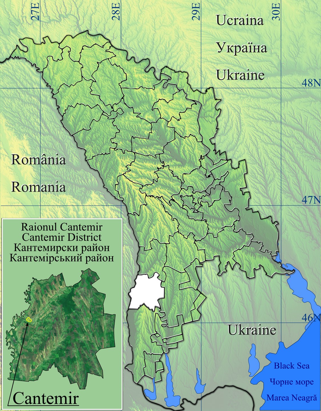
| DescriptionRaionul Cantemir location map.jpg |
Română: Harta de localizare raionul Cantemir, Moldova.
|
| Date | |
| Source | Topographic data SRTM from NASA and World Imagery & 3DEM & Inkscape |
| Author | Asybaris01 |
Licensing
| Public domainPublic domainfalsefalse |
| This file is in the public domain in the United States because it was solely created by NASA. NASA copyright policy states that "NASA material is not protected by copyright unless noted". (See Template:PD-USGov, NASA copyright policy page or JPL Image Use Policy.) | ||
 |
Warnings:
|
File history
Click on a date/time to view the file as it appeared at that time.
| Date/Time | Thumbnail | Dimensions | User | Comment | |
|---|---|---|---|---|---|
| current | 06:54, 12 February 2012 | | 1,125 × 1,441 (493 KB) | Asybaris01 | new concept |
| 19:30, 7 February 2012 |  | 1,349 × 1,731 (555 KB) | Asybaris01 | {{Information |Description ={{ro|1=Harta de localizare raionul Cantemir, Moldova.}} |Source =Topographic data SRTM from NASA and World Imagery & 3DEM & Inkscape |Author =Asybaris01 |Date =feb 2012 |Permissi |
File usage
The following pages on the English Wikipedia use this file (pages on other projects are not listed):
- Antonești, Cantemir
- Baimaclia, Cantemir
- Cania
- Cantemir, Moldova
- Capaclia
- Chioselia
- Ciobalaccia
- Cociulia
- Coștangalia
- Cîietu
- Cîrpești
- Cîșla, Cantemir
- Enichioi
- Gotești
- Haragîș
- Lingura
- Lărguța
- Pleșeni
- Plopi, Cantemir
- Porumbești, Cantemir
- Sadîc
- Stoianovca
- Tartaul
- Toceni
- Vișniovca
- Șamalia
- Țiganca
- Module:Location map/data/Moldova Cantemir
- Module:Location map/data/Moldova Cantemir/doc
Global file usage
The following other wikis use this file:
- Usage on ar.wikipedia.org
- Usage on ceb.wikipedia.org
- Usage on da.wikipedia.org
- Usage on fa.wikipedia.org
- Usage on kn.wikipedia.org
- Usage on ro.wikipedia.org
- Cantemir, Moldova
- Vișniovca, Cantemir
- Lărguța, Cantemir
- Baimaclia, Cantemir
- Cania, Cantemir
- Capaclia, Cantemir
- Chioselia, Cantemir
- Ciobalaccia, Cantemir
- Cîrpești, Cantemir
- Cociulia, Cantemir
- Gotești, Cantemir
- Pleșeni, Cantemir
- Plopi, Cantemir
- Sadîc, Cantemir
- Tartaul, Cantemir
- Țiganca, Cantemir
- Cîietu, Cantemir
- Cîșla, Cantemir
- Coștangalia, Cantemir
- Enichioi, Cantemir
- Iepureni, Cantemir
- Lingura, Cantemir
- Porumbești, Cantemir
- Șamalia, Cantemir
- Toceni, Cantemir
- Antonești, Cantemir
- Haragîș, Cantemir
- Comuna Cania, Cantemir
- Format:Harta de localizare Republica Moldova Cantemir
- Rezervația peisagistică Chioselia
- Codrii Tigheci
- Lunca inundabilă Antonești
- Cariera Cociulia
- Pădurea Cîietu (arie protejată)
- Rezervația naturală Ciobalaccia
- Rezervația naturală Cantemir
- Usage on si.wikipedia.org
- Usage on war.wikipedia.org
Retrieved from "https://en.wikipedia.org/wiki/File:Raionul_Cantemir_location_map.jpg"