File:Raionul_Ungheni_location_map.jpg
From Wikipedia, the free encyclopedia
Size of this preview: 468 × 599 pixels. Other resolutions: 187 × 240 pixels | 375 × 480 pixels | 599 × 768 pixels | 1,125 × 1,441 pixels.
Original file (1,125 × 1,441 pixels, file size: 1.23 MB, MIME type: image/jpeg)
| This is a file from the Wikimedia Commons. Information from its description page there is shown below. Commons is a freely licensed media file repository. You can help. |
Summary
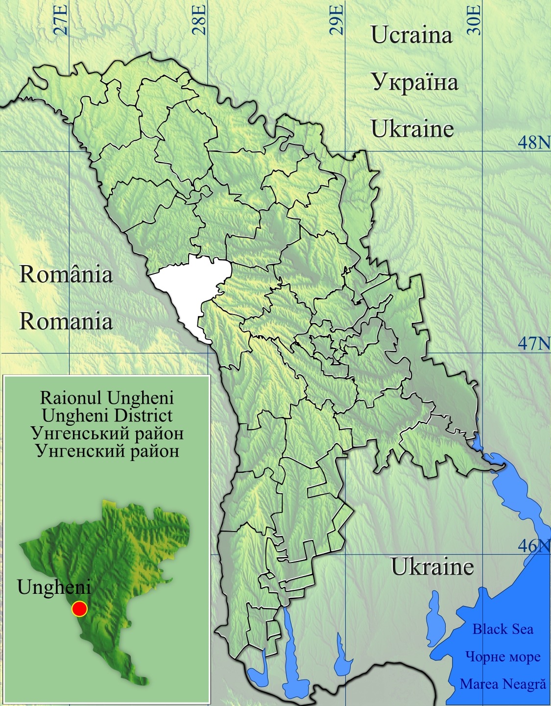
| DescriptionRaionul Ungheni location map.jpg |
Română: Raionul Ungheni location map.
|
| Date | |
| Source | Topographic data SRTM from NASA and World Imagery & 3DEM & Inkscape |
| Author | Asybaris01 |
Licensing
| Public domainPublic domainfalsefalse |
| This file is in the public domain in the United States because it was solely created by NASA. NASA copyright policy states that "NASA material is not protected by copyright unless noted". (See Template:PD-USGov, NASA copyright policy page or JPL Image Use Policy.) | ||
 |
Warnings:
|
File history
Click on a date/time to view the file as it appeared at that time.
| Date/Time | Thumbnail | Dimensions | User | Comment | |
|---|---|---|---|---|---|
| current | 07:04, 31 October 2012 | | 1,125 × 1,441 (1.23 MB) | Asybaris01 | new design |
| 19:27, 28 January 2012 |  | 1,349 × 1,731 (537 KB) | Asybaris01 | contur raion | |
| 19:13, 28 January 2012 |  | 1,349 × 1,731 (560 KB) | Asybaris01 | {{Information |Description ={{ro|1=Raionul Ungheni location map.}} |Source =Topographic data SRTM from NASA and World Imagery & 3DEM & Inkscape |Author =Asybaris01 |Date =jan 2012 |Permission = |other_v |
File usage
The following pages on the English Wikipedia use this file (pages on other projects are not listed):
- Agronomovca
- Alexeevca, Ungheni
- Boghenii Noi
- Buciumeni, Ungheni
- Bumbăta
- Bușila
- Cetireni
- Chirileni
- Cioropcani
- Condrătești
- Cornești (village), Ungheni
- Cornova
- Florițoaia Veche
- Hîrcești
- Morenii Noi
- Măcărești, Ungheni
- Măgurele, Ungheni
- Mănoilești
- Năpădeni
- Petrești, Ungheni
- Rădenii Vechi
- Sinești, Ungheni
- Teșcureni
- Todirești, Ungheni
- Ungheni District
- Valea Mare, Ungheni
- Zagarancea
- Module:Location map/data/Moldova Ungheni
- Module:Location map/data/Moldova Ungheni/doc
Global file usage
The following other wikis use this file:
- Usage on ar.wikipedia.org
- Usage on de.wikipedia.org
- Usage on ja.wikipedia.org
- Usage on no.wikipedia.org
- Usage on ro.wikipedia.org
- Ungheni
- Grozasca, Ungheni
- Lidovca, Ungheni
- Negurenii Noi, Ungheni
- Pojarna, Ungheni
- Săghieni, Ungheni
- Stolniceni, Ungheni
- Hîrcești, Ungheni
- Boghenii Noi, Ungheni
- Bumbăta, Ungheni
- Cetireni, Ungheni
- Cioropcani, Ungheni
- Cornova, Ungheni
- Costuleni, Ungheni
- Măcărești, Ungheni
- Mănoilești, Ungheni
- Negurenii Vechi, Ungheni
- Rădenii Vechi, Ungheni
- Sculeni, Ungheni
- Unțești, Ungheni
- Valea Mare, Ungheni
- Zagarancea, Ungheni
- Agronomovca, Ungheni
- Blindești, Ungheni
- Boghenii Vechi, Ungheni
- Buciumeni, Ungheni
- Bușila, Ungheni
- Buzduganii de Jos, Ungheni
- Buzduganii de Sus, Ungheni
- Condrătești, Ungheni
- Coșeni, Ungheni
- Curtoaia, Ungheni
- Drujba, Ungheni
- Florițoaia Nouă, Ungheni
- Florițoaia Veche, Ungheni
- Frăsinești, Ungheni
- Grăseni, Ungheni
- Hristoforovca, Ungheni
- Izvoreni, Ungheni
- Mircești, Ungheni
- Mînzătești, Ungheni
- Morenii Noi, Ungheni
- Morenii Vechi, Ungheni
- Năpădeni, Ungheni
- Novaia Nicolaevca, Ungheni
View more global usage of this file.
Retrieved from "https://en.wikipedia.org/wiki/File:Raionul_Ungheni_location_map.jpg"