File:Relief_Map_of_Spain.png
From Wikipedia, the free encyclopedia
Size of this preview: 699 × 600 pixels. Other resolutions: 280 × 240 pixels | 560 × 480 pixels | 895 × 768 pixels | 1,197 × 1,027 pixels.
Original file (1,197 × 1,027 pixels, file size: 1.9 MB, MIME type: image/png)
| This is a file from the Wikimedia Commons. Information from its description page there is shown below. Commons is a freely licensed media file repository. You can help. |
Summary
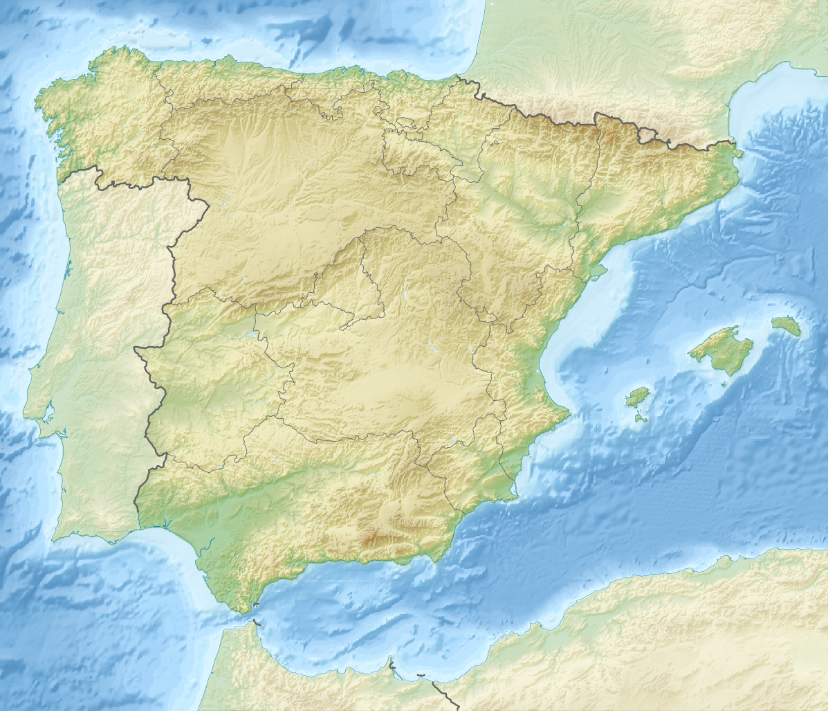
| DescriptionRelief Map of Spain.png |
Deutsch: Karte Spanien
English: Map of Spain
Equirectangular projection, N/S stretching 130 %. Geographic limits of the map:
|
| Date | |
| Source |
|
| Author | derivative work Виктор_В |
Licensing
This file is licensed under the Creative Commons Attribution-Share Alike 3.0 Unported license.
- You are free:
- to share – to copy, distribute and transmit the work
- to remix – to adapt the work
- Under the following conditions:
- attribution – You must give appropriate credit, provide a link to the license, and indicate if changes were made. You may do so in any reasonable manner, but not in any way that suggests the licensor endorses you or your use.
- share alike – If you remix, transform, or build upon the material, you must distribute your contributions under the same or compatible license as the original.
Captions
Add a one-line explanation of what this file represents
Items portrayed in this file
depicts
28 August 2010
image/png
7b28c6e863935447af640d038b6ac4be1c9531af
1,997,362 byte
1,027 pixel
1,197 pixel
File history
Click on a date/time to view the file as it appeared at that time.
| Date/Time | Thumbnail | Dimensions | User | Comment | |
|---|---|---|---|---|---|
| current | 17:55, 28 August 2010 | | 1,197 × 1,027 (1.9 MB) | Виктор В | рельеф дна |
| 11:58, 28 August 2010 |  | 1,197 × 1,027 (1.53 MB) | Виктор В | == {{int:filedesc}} == {{Information |Description={{en|Location map of Spain}} Equirectangular projection, N/S stretching 130 %. Geographic limits of the map: * N: 44.4° N * S: 34.7° N * W: 9.9° W * E: 4.8° E |Source=*[[:File:Spain locat |
File usage
More than 100 pages use this file. The following list shows the first 100 pages that use this file only. A full list is available.
- 1966 Palomares B-52 crash
- Alboran Island
- Alboran Sea
- Alcázar de San Juan
- Ametlla de Mar Observatory
- Andorra la Vella
- Aroche
- Atapuerca Mountains
- Ayamonte
- Baena
- Banu Tujib
- Barbate
- Battle of Albuera
- Battle of Alcañiz
- Battle of Brihuega
- Battle of Getaria
- Battle of Ilipa
- Battle of Villaviciosa
- Battle of Vitoria
- Battle of the Lines of Elvas
- Battle of the Upper Baetis
- Bay of Gibraltar
- Bilbao
- Béjar
- Calar Alto Observatory
- Cangas, Pontevedra
- Cantabrian Sea
- Carmona, Spain
- Casasimarro
- Catalan Open
- Cebreros Station
- Chumillas
- Cintruénigo
- Coelleira
- Crivillén
- Cullera
- El Provencio
- Encinasola
- English Armada
- Estanys de Baiau
- Fabra Observatory
- Foz-Calanda
- Fuenlabrada
- Guadalajara, Spain
- Guardo
- Hellín
- Illán de Vacas
- Iruraiz-Gauna
- La Cañada Observatory
- La Torrecilla
- Lebrija
- Lucena, Córdoba
- Luzón
- Madrid Deep Space Communications Complex
- Madrid Open (golf)
- Madrid–Torrejón Airport
- Mallorca Classic
- Manzanares Park
- Montalbo
- Montgó Massif
- Montilla
- Mount Artxanda
- Mula, Spain
- Mulhacén
- NATO Integrated Air Defense System
- Olivenza
- Open Mediterrania
- Open de España
- Peninsular War
- Peñalara
- Picos de Europa
- Piera Observatory
- Plasencia
- Pompey
- Ponteareas
- Priego de Córdoba
- Puente Genil
- Puerto del Suspiro del Moro
- Puertollano
- Roland's Breach
- Roncevaux Pass
- Rías Baixas
- Sabatini Gardens
- San Esteban de Gormaz
- San Leonardo de Yagüe
- San Roque, Spain
- San Sebastián de los Reyes
- Serra dos Ancares
- Sierra Madrona
- Sierra Nevada (Spain)
- Sierra Nevada Observatory
- Sierra de Mijas
- Sierra de las Nieves
- Socuéllamos
- Sorbas
- Tarifa
- Tres Cantos
- Tudela, Navarre
- Tumult of Aranjuez
- Ubrique
View more links to this file.
Global file usage
The following other wikis use this file:
- Usage on als.wikipedia.org
- Usage on ar.wikipedia.org
- Usage on arz.wikipedia.org
- Usage on as.wikipedia.org
- Usage on azb.wikipedia.org
- بارسلونا
- میرامبل
- کاسکانته دل ریو
- لسکس
- منرئال دل کامپو
- کامینرئال
- منتالبان
- ال کوئربو
- کانقاس
- منریو
- بردن
- بورباقنا
- کاستیته
- مونیسا
- پنیاریا د تاستابینس
- آندرا
- لاس پاراس د کاستیته
- بلمنته د سان خسه
- بسیته
- آقوابیبا
- آرینیو
- ماس د لاس ماتاس
- یدو
- کاستلسراس
- ماسالئن
- آلبالاته دل آرسبیسپو
- لا پوئبلا د هیخار
- مسکروئلا
- منتئاقودو دل کاستییو
- اریهوئلا دل ترمدال
- کانیادا د بناتاندوس
- نقرا د آلباراسین
- لینارس د مرا
- کامارنا د لا سیرا
- وقویلس دو لا سیرا
- مسکیتا د خارکه
- لا ایقلسوئلا دل سید
- میرابته د لا سیرا
View more global usage of this file.
Metadata
This file contains additional information, probably added from the digital camera or scanner used to create or digitize it.
If the file has been modified from its original state, some details may not fully reflect the modified file.
| Horizontal resolution | 35.83 dpc |
|---|---|
| Vertical resolution | 35.83 dpc |
| Software used |
Retrieved from "https://en.wikipedia.org/wiki/File:Relief_Map_of_Spain.png"