File:Reliefkarte_Zug_blank.png
From Wikipedia, the free encyclopedia
Size of this preview: 747 × 600 pixels. Other resolutions: 299 × 240 pixels | 598 × 480 pixels | 928 × 745 pixels.
Original file (928 × 745 pixels, file size: 688 KB, MIME type: image/png)
| This is a file from the Wikimedia Commons. Information from its description page there is shown below. Commons is a freely licensed media file repository. You can help. |

|
This map image could be re-created using vector graphics as an SVG file. This has several advantages; see Commons:Media for cleanup for more information. If an SVG form of this image is available, please upload it and afterwards replace this template with
{{vector version available|new image name}}.
It is recommended to name the SVG file “Reliefkarte Zug blank.svg”—then the template Vector version available (or Vva) does not need the new image name parameter. |
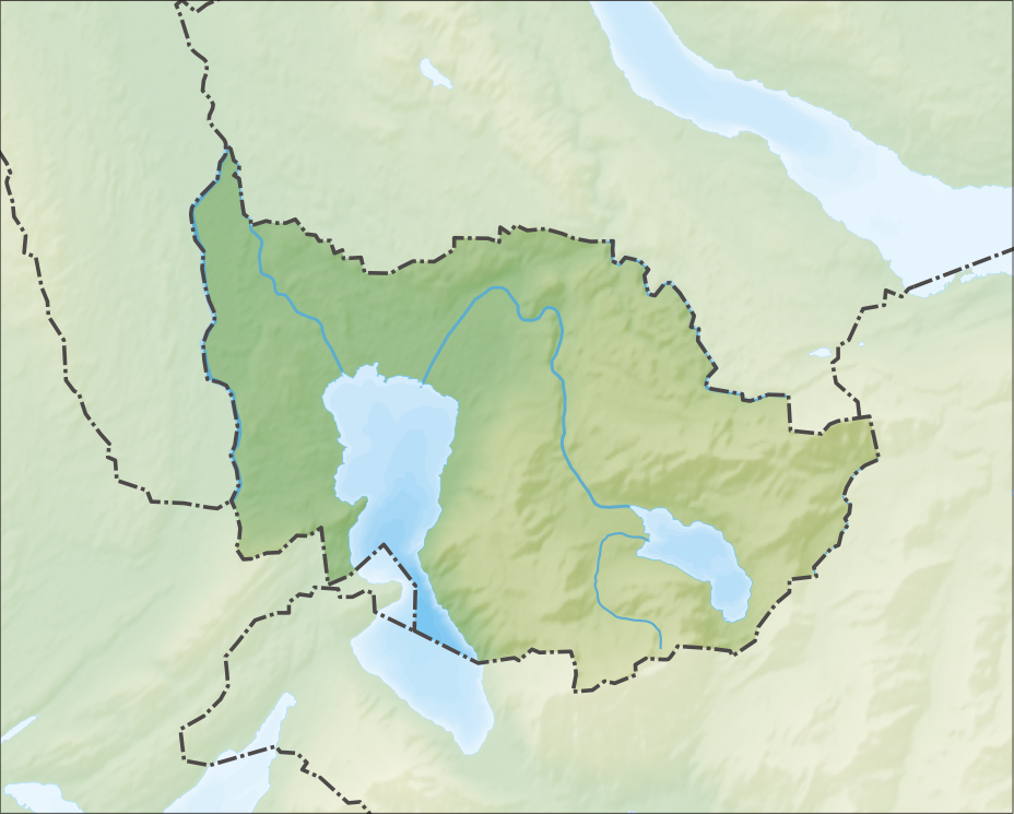
| DescriptionReliefkarte Zug blank.png |
Deutsch: Reliefkarte des Kantons Zug
Topographischer Hintergrund: NASA Shuttle Radar Topography Mission (public domain). SRTM3 v.2. |
||||||||
| Date | 20 March 2012-06 | ||||||||
| Source | Own work | ||||||||
| Author | Tschubby | ||||||||
| Permission (Reusing this file) |
I, the copyright holder of this work, hereby publish it under the following licenses:
This file is licensed under the Creative Commons Attribution-Share Alike 2.5 Generic, 2.0 Generic and 1.0 Generic license.
You may select the license of your choice. |
||||||||
| Other versions |
 |

Captions
Add a one-line explanation of what this file represents
Items portrayed in this file
depicts
6 December 2013
File history
Click on a date/time to view the file as it appeared at that time.
| Date/Time | Thumbnail | Dimensions | User | Comment | |
|---|---|---|---|---|---|
| current | 12:38, 6 December 2013 | | 928 × 745 (688 KB) | Tschubby | {{Information |Description= {{de| Reliefkarte des Kantons Zug}} Topographischer Hintergrund: [http://www2.jpl.nasa.gov/srtm NASA Shuttle Radar Topography Mission] (public domain). SRTM3 v.2. |Source={{own}} |Date= 2013-12-06 |Author= [[:de:User:Tschubb... |
File usage
The following pages on the English Wikipedia use this file (pages on other projects are not listed):
- Baar, Switzerland
- Cham, Switzerland
- Cham Alpenblick railway station
- Cham railway station (Switzerland)
- Hirzel Pass
- Hünenberg
- Hünenberg Chämleten railway station
- Hünenberg Zythus railway station
- Katastrophenbucht
- Lake Zug
- Menzingen
- Neuheim
- Oberägeri
- Raten Pass
- Risch-Rotkreuz
- St. Andreas Castle
- Steinhausen, Switzerland
- Teufenbachweiher
- Unterägeri
- Walchwil
- Wilersee
- Zug
- Zug Chollermüli railway station
- Zug Schutzengel railway station
- Zug massacre
- Zugerberg
- Ägerisee
- Module:Location map/data/Canton of Zug
- Module:Location map/data/Canton of Zug/doc
Global file usage
The following other wikis use this file:
- Usage on de.wikipedia.org
- Usage on eo.wikipedia.org
- Usage on fr.wikipedia.org
- Usage on he.wikipedia.org
- Usage on id.wikipedia.org
- Usage on simple.wikipedia.org
- Usage on si.wikipedia.org
- Usage on uz.wikipedia.org
- Usage on zh.wikipedia.org
Metadata
This file contains additional information, probably added from the digital camera or scanner used to create or digitize it.
If the file has been modified from its original state, some details may not fully reflect the modified file.
| Horizontal resolution | 118.11 dpc |
|---|---|
| Vertical resolution | 118.11 dpc |
Retrieved from "https://en.wikipedia.org/wiki/File:Reliefkarte_Zug_blank.png"