File:Source_of_the_Penk,_Tettenhall_Wood.jpg
From Wikipedia, the free encyclopedia
Size of this preview: 434 × 599 pixels. Other resolutions: 174 × 240 pixels | 348 × 480 pixels | 929 × 1,282 pixels.
Original file (929 × 1,282 pixels, file size: 997 KB, MIME type: image/jpeg)
| This is a file from the Wikimedia Commons. Information from its description page there is shown below. Commons is a freely licensed media file repository. You can help. |
Summary
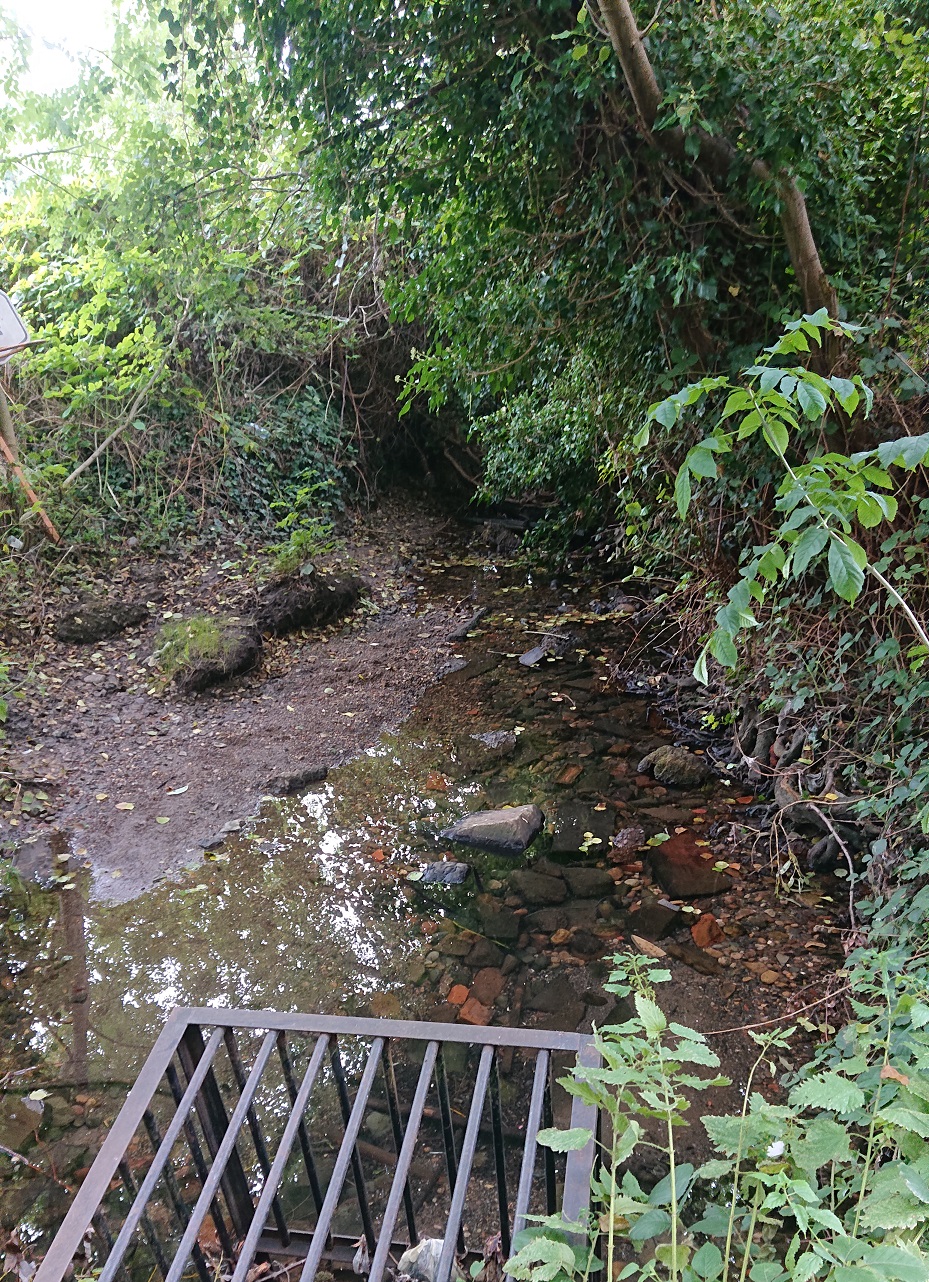
| DescriptionSource of the Penk, Tettenhall Wood.jpg |
English: The source of the River Penk, just off Penk Rise in Tettenhall Wood, Wolverhampton |
| Date | |
| Source | Own work |
| Author | Æthelred |
| Camera location | 52° 35′ 42.55″ N, 2° 11′ 02.32″ W | View this and other nearby images on: OpenStreetMap |
|---|
Licensing
I, the copyright holder of this work, hereby publish it under the following license:
This file is licensed under the Creative Commons Attribution-Share Alike 4.0 International license.
- You are free:
- to share – to copy, distribute and transmit the work
- to remix – to adapt the work
- Under the following conditions:
- attribution – You must give appropriate credit, provide a link to the license, and indicate if changes were made. You may do so in any reasonable manner, but not in any way that suggests the licensor endorses you or your use.
- share alike – If you remix, transform, or build upon the material, you must distribute your contributions under the same or compatible license as the original.
Captions
Source of the Penk, Tettenhall Wood
Items portrayed in this file
depicts
10 September 2020
52°35'42.554"N, 2°11'2.321"W
0.0625 second
4.4 millimetre
200
image/jpeg
File history
Click on a date/time to view the file as it appeared at that time.
| Date/Time | Thumbnail | Dimensions | User | Comment | |
|---|---|---|---|---|---|
| current | 18:19, 16 September 2020 | | 929 × 1,282 (997 KB) | Æthelred | Uploaded own work with UploadWizard |
File usage
The following pages on the English Wikipedia use this file (pages on other projects are not listed):
Metadata
This file contains additional information, probably added from the digital camera or scanner used to create or digitize it.
If the file has been modified from its original state, some details may not fully reflect the modified file.
| Camera manufacturer | SONY |
|---|---|
| Camera model | H8416 |
| Exposure time | 1/16 sec (0.0625) |
| F-number | f/2 |
| ISO speed rating | 200 |
| Date and time of data generation | 15:55, 10 September 2020 |
| Lens focal length | 4.4 mm |
| Latitude | 52° 35′ 42.55″ N |
| Longitude | 2° 11′ 2.32″ W |
| Altitude | 185.349 meters above sea level |
| Orientation | Normal |
| Horizontal resolution | 72 dpi |
| Vertical resolution | 72 dpi |
| Software used | 52.0.A.8.131_0_0 |
| File change date and time | 15:55, 10 September 2020 |
| Y and C positioning | Centered |
| Exif version | 2.31 |
| Date and time of digitizing | 15:55, 10 September 2020 |
| Meaning of each component |
|
| Shutter speed | 4 |
| Exposure bias | 0 |
| Metering mode | Pattern |
| Light source | Unknown |
| Flash | Flash did not fire, compulsory flash suppression |
| DateTime subseconds | 901989 |
| DateTimeOriginal subseconds | 901989 |
| DateTimeDigitized subseconds | 901989 |
| Supported Flashpix version | 1 |
| Color space | sRGB |
| Custom image processing | Normal process |
| Exposure mode | Auto exposure |
| White balance | Auto white balance |
| Digital zoom ratio | 1 |
| Scene capture type | Standard |
| Subject distance range | Unknown |
| GPS time (atomic clock) | 14:54 |
| Receiver status | Measurement in progress |
| Geodetic survey data used | WGS-84 |
| GPS date | 10 September 2020 |
| GPS tag version | 2.2.0.0 |
| Rating (out of 5) | 0 |