File:Wrexham_Cathedral_(geograph_5518262_cropped).jpg
From Wikipedia, the free encyclopedia
Size of this preview: 450 × 600 pixels. Other resolutions: 180 × 240 pixels | 555 × 740 pixels.
Original file (555 × 740 pixels, file size: 96 KB, MIME type: image/jpeg)
| This is a file from the Wikimedia Commons. Information from its description page there is shown below. Commons is a freely licensed media file repository. You can help. |
Summary
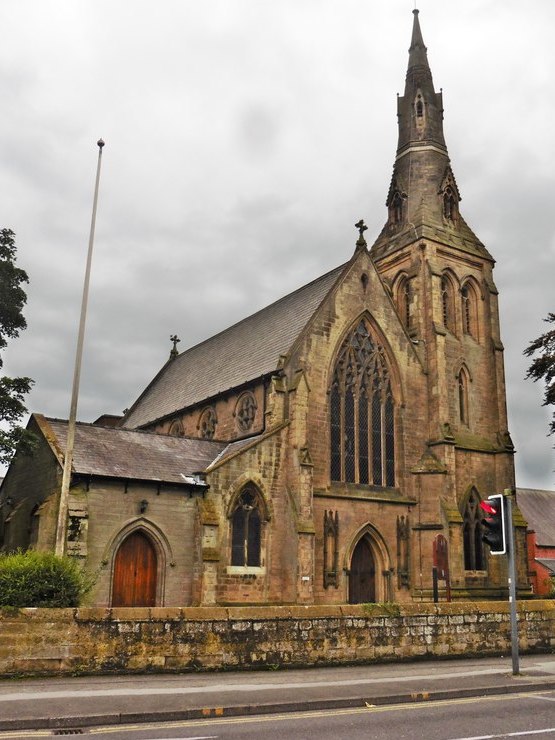
| DescriptionWrexham Cathedral (geograph 5518262 cropped).jpg |
Cymraeg: Eglwys Gadeiriol Wrecsam English: Wrexham Cathedral |
| Date | |
| Source |
This file was derived from: Wrexham Cathedral (geograph 5518262).jpg |
| Author | Roger Cornfoot |
| Permission (Reusing this file) |
Creative Commons Attribution Share-alike license 2.0 |
| Attribution (required by the license) InfoField | Roger Cornfoot / St Mary's Church, Wrexham / |
InfoField | Roger Cornfoot / St Mary's Church, Wrexham |
| Camera location | 53° 02′ 50.9″ N, 2° 59′ 53″ W | View this and other nearby images on: OpenStreetMap |
|---|
| Object location | 53° 02′ 50.3″ N, 2° 59′ 55″ W | View this and other nearby images on: OpenStreetMap |
|---|
This file has been extracted from another file : Wrexham Cathedral (geograph 5518262).jpg |
.jpg) |
Licensing
This file is licensed under the Creative Commons Attribution-Share Alike 2.0 Generic license.
Attribution: Roger Cornfoot
- You are free:
- to share – to copy, distribute and transmit the work
- to remix – to adapt the work
- Under the following conditions:
- attribution – You must give appropriate credit, provide a link to the license, and indicate if changes were made. You may do so in any reasonable manner, but not in any way that suggests the licensor endorses you or your use.
- share alike – If you remix, transform, or build upon the material, you must distribute your contributions under the same or compatible license as the original.
Captions
Add a one-line explanation of what this file represents
Items portrayed in this file
depicts
some value
22 August 2017
53°2'50.928"N, 2°59'52.991"W
53°2'50.28"N, 2°59'54.60"W
File history
Click on a date/time to view the file as it appeared at that time.
| Date/Time | Thumbnail | Dimensions | User | Comment | |
|---|---|---|---|---|---|
| current | 17:28, 12 September 2019 | | 555 × 740 (96 KB) | Ham II | File:St Marys Church, Wrexham (geograph 5518262).jpg cropped 46 % horizontally, 4 % vertically using CropTool with precise mode. |
.jpg)
File usage
The following pages on the English Wikipedia use this file (pages on other projects are not listed):
Global file usage
The following other wikis use this file:
- Usage on arz.wikipedia.org
- Usage on cy.wikipedia.org
- Usage on id.wikipedia.org
- Usage on lv.wikipedia.org
- Usage on ru.wikipedia.org
- Usage on www.wikidata.org
- Usage on zh.wikipedia.org
.jpg)