Gáldar
Municipality in Canary Islands, Spain From Wikipedia, the free encyclopedia

Gáldar is a town and a Spanish municipality in the north of the island of Gran Canaria in the Province of Las Palmas in the Canary Islands. Its population is 24,227 (2013),[3] and the area is 61.59 km2 (23.78 sq mi).[1]
Gáldar | |
|---|---|
 Gáldar | |
 Flag .svg) Coat of arms | |
 Municipal location in Gran Canaria | |
 Gáldar Location in the province of Las Palmas  Gáldar Gáldar (Canary Islands)  Gáldar Gáldar (Spain, Canary Islands) | |
| Coordinates: 28°8′38″N 15°39′1″W | |
| Country | |
| Autonomous Community | |
| Province | Las Palmas |
| Island | Gran Canaria |
| Government | |
| • Mayor | Teodoro Claret Sosa Monzón |
| Area | |
| • Total | 61.59 km2 (23.78 sq mi) |
| Elevation (AMSL) | 124 m (407 ft) |
| Population (2018)[2] | |
| • Total | 24,209 |
| • Density | 390/km2 (1,000/sq mi) |
| Time zone | UTC+0 (CET) |
| • Summer (DST) | UTC+1 (CEST (GMT +1)) |
| Postal code | 35460 |
| Area code | +34 (Spain) + 928 (Las Palmas) |
| Website | www.galdar.es |
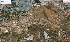
The town Gáldar is situated at the foot of the mountains, 2 km from the coast and 21 km (13 mi) west of Las Palmas. The GC-2 motorway passes south of the town. The municipality includes the settlements Puerto de Sardina, San Isidro, Los Quintanas, Barrial and Marmolejos. The main church is dedicated to Saint James.
It holds the Painted cave, a major archaeological site consisting of a remarkable painted cave and an entire pre-Hispanic village visited yearly by over 50,000 people.
Population
|
|
Gallery
 Gáldar from space
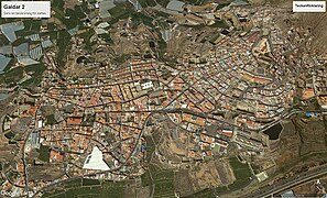 Gáldar from space
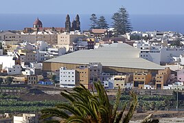 Gáldar
 Gáldar - Calle Capitan Quesada
.jpg)
.jpg)


See also
References
External links
Wikiwand in your browser!
Seamless Wikipedia browsing. On steroids.
Every time you click a link to Wikipedia, Wiktionary or Wikiquote in your browser's search results, it will show the modern Wikiwand interface.
Wikiwand extension is a five stars, simple, with minimum permission required to keep your browsing private, safe and transparent.