Răcari
Town in Dâmbovița, Romania From Wikipedia, the free encyclopedia
Răcari is a town located in Dâmbovița County, Muntenia, Romania. It administers seven villages: Bălănești, Colacu, Ghergani, Ghimpați, Mavrodin, Săbiești, and Stănești. It was declared a town in 2004.
This article needs additional citations for verification. (August 2023) |
Răcari | |
|---|---|
 World War I monument | |
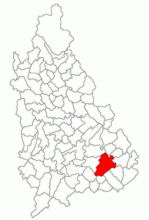
 Location in Dâmbovița County | |
| Coordinates: 44°38′N 25°44′E | |
| Country | Romania |
| County | Dâmbovița |
| Government | |
| • Mayor (2020–2024) | Marius-Florin Caravețeanu[1] (PNL) |
| Area | 78.94 km2 (30.48 sq mi) |
| Elevation | 140 m (460 ft) |
| Population (2021-12-01)[2] | 6,306 |
| • Density | 80/km2 (210/sq mi) |
| Time zone | EET/EEST (UTC+2/+3) |
| Postal code | 137385 |
| Area code | (+40) 02 45 |
| Vehicle reg. | DB |
| Website | primariaracari |
The town is located in the southeastern part of the county, 40 km (25 mi) northwest of Bucharest, on road DN7. It lies in the Wallachian Plain, at an altitude of 140 m (460 ft), and is traversed by the rivers Colentina and Ilfov. Răcari borders the following communes: Bilciurești and Cojasca to the north, Tărtășești and Ciocănești to the south, Butimanu to the east, and Conțești and Cornățelu to the west.
| Year | Pop. | ±% |
|---|---|---|
| 1948 | 2,519 | — |
| 2002 | 6,892 | +173.6% |
| 2011 | 6,638 | −3.7% |
| 2021 | 6,306 | −5.0% |
| Source: Census data | ||
Notable residents
- Ion Ghica, Prince of Samos (1854–1859) and the 5th Prime Minister of Romania (1866), died in 1897 at his estate in Ghergani
- Donar Munteanu (1886–1972), poet and magistrate, born in Răcari
- Ionelia Zaharia (born 1985), rower, born in Răcari
See also
References
Wikiwand in your browser!
Seamless Wikipedia browsing. On steroids.
Every time you click a link to Wikipedia, Wiktionary or Wikiquote in your browser's search results, it will show the modern Wikiwand interface.
Wikiwand extension is a five stars, simple, with minimum permission required to keep your browsing private, safe and transparent.


