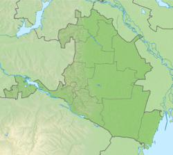
The Kuma–Manych depression (Russian: Кумо–Манычская впадина, romanized: Kumo–Manychskaya vpadina), is a geological depression in southwestern Russia that separates the Russian Plain to the north from Ciscaucasia to the south.[1] It is named after the Kuma and Manych rivers.[2]
Kuma–Manych Depression | |
|---|---|
 Kuma-Manych Depression and Manych River from low Earth orbit. Upper left is the eastern tip of the Sea of Azov and lower right is the Caspian Sea. In the middle of the image is the Lake Manych-Gudilo. Upper right is the Volga and lower left is the Kuban River. | |
| Coordinates: 45°42′54″N 44°06′18″E |
Geography

Kuma–Manych depression is sometimes regarded as a definition for the natural boundary between Asia and Europe.[1][3]
The Rostov Nature Reserve is located within the depression.[4]
See also
References
Wikiwand in your browser!
Seamless Wikipedia browsing. On steroids.
Every time you click a link to Wikipedia, Wiktionary or Wikiquote in your browser's search results, it will show the modern Wikiwand interface.
Wikiwand extension is a five stars, simple, with minimum permission required to keep your browsing private, safe and transparent.


