Maroantsetra (district)
Commune and town in Analanjirofo, Madagascar From Wikipedia, the free encyclopedia
Maroantsetra is a district of Analanjirofo in Madagascar.[1][2] It hosts part of Masoala National Park and part of Makira Natural Park. The district has an area of 6,965 km2 (2,689 sq mi), and the estimated population in 2020 was 264,234.[3]
Maroantsetra (district) | |
|---|---|
Commune and town | |
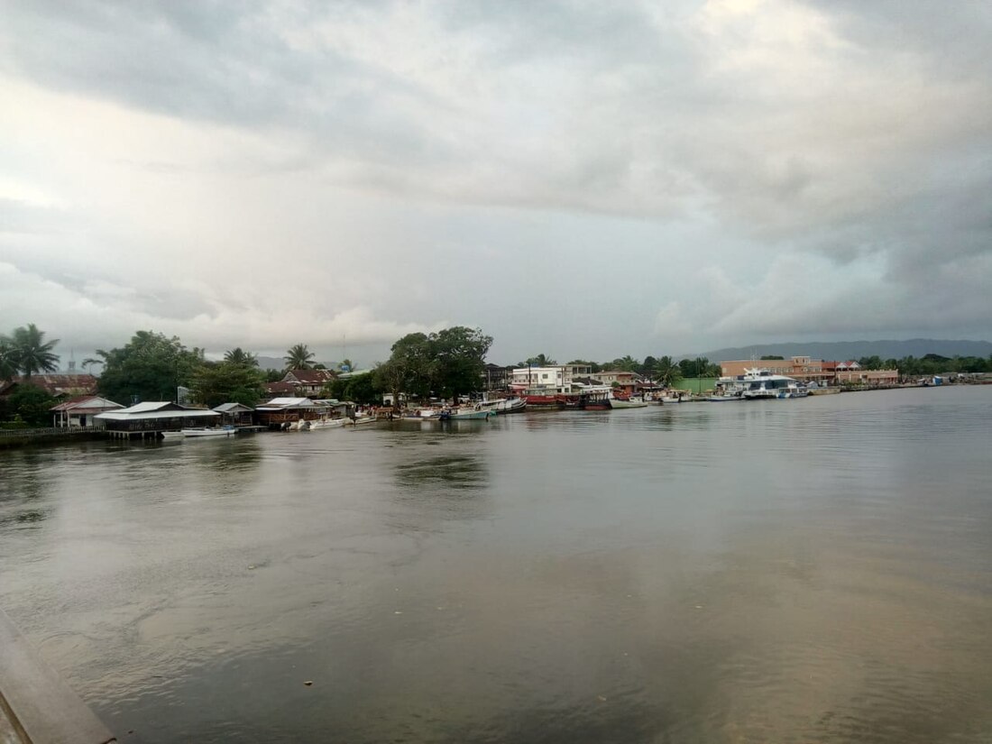
 Port of Maroantsetra | |
| Coordinates: 15°26′0″S 49°45′0″E | |
| Country | |
| Region | Analanjirofo |
| District | Maroantsetra |
| Area | |
| • Total | 6,965 km2 (2,689 sq mi) |
| Elevation | 14 m (46 ft) |
| Population (2020) | |
| • Total | 264,234 |
| Time zone | UTC3 (EAT) |
| Postal code | 512 |
Communes
The district is further divided into 20 communes:
Rivers

This district is crossed by the Rantabe river, Ivoloina River, Antainambalana River, Manambolo (Est), Amaranofotsy, Mahalevona River and the Ambanizana.[4]
References
Wikiwand in your browser!
Seamless Wikipedia browsing. On steroids.
Every time you click a link to Wikipedia, Wiktionary or Wikiquote in your browser's search results, it will show the modern Wikiwand interface.
Wikiwand extension is a five stars, simple, with minimum permission required to keep your browsing private, safe and transparent.

