Top Qs
Timeline
Chat
Perspective
Antras, Ariège
Commune in Occitanie, France From Wikipedia, the free encyclopedia
Remove ads
Antras (Antràs in Occitan) is a commune in the Ariège department in the Occitanie region of southwestern France.
Remove ads
Geography
Antras is located some 25 km south-east of Saint-Gaudens, 20 km north-east of Bagneres-de-Luchon, and only 1 km from the Spanish border. It was part of the former province of Couserans in the Biros Valley. No district roads or highways pass through the commune and the only access to the village is by a mountain road (the Route d'Antras) from the D4 road at Sentein. There are few roads in the commune with some mountain tracks and unformed roads. The commune is mountainous and heavily forested.[3]
The Ruisseau d'Antras flows from the commune down to Sentein where it joins the Lez which continues to Saint-Girons where it joins the Salat river.[3]
Neighbouring communes and villages
Remove ads
Administration
List of Successive Mayors of Antras[4]
Population
The inhabitants of the commune are known as Antrasois or Antrasoises in French.[5]
Sites and Monuments
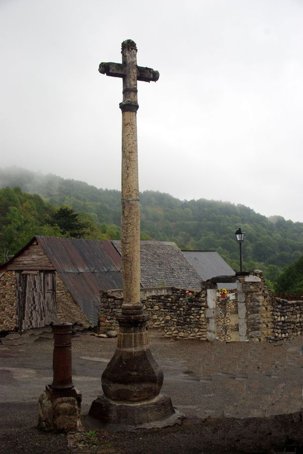
- A Marble Cross (1785)
 is registered as an historical monument.[7]
 - A Romanesque Parish Church. The church contains several items that are registered as historical objects:
Remove ads
See also
References
External links
Wikiwand - on
Seamless Wikipedia browsing. On steroids.
Remove ads


