Top Qs
Timeline
Chat
Perspective
Bit-Istar
From Wikipedia, the free encyclopedia
Remove ads
Bit-Istar was an Assyrian town and a local kingdom (c. 12th century BC - c. 710 BC) at western Zagros that according to inscriptions of Tiglath Pileser III and Sargon II. It was located close to the source of a river to the east of Dyala.
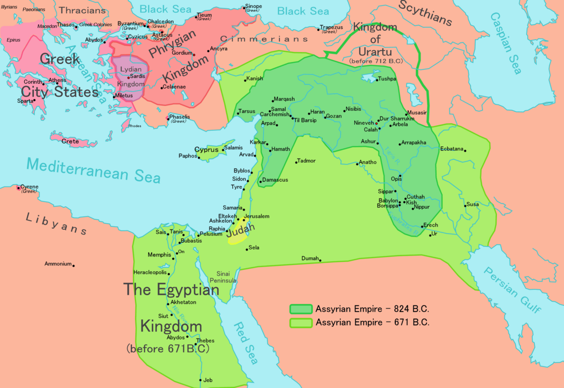
This article may require cleanup to meet Wikipedia's quality standards. The specific problem is: Sources are not included with the text, and the pictures are not relevant to the subject. (December 2024) |

Stronach and Calmeyer proposed Ravansar as a possible candidate for the place of Bit-Istar. Recent surveys by Y. Hassanzadeh led to discovery of new evidence indicating presence of rich 1st-millennium remains close to the spring of Ravansar (34°43′0″N 46°40′0″W).
The ruler of this town during reign of Sargon II was Burburazu who brought his tributes to Sargon during his campaign to the region in 714 BC. A column base at the edge of Ravansar spring could belong to a temple that was built for Ishtar near "Water hole".

Tang-i Var, famous Assyrian inscription from reign of Sargon II is located about 30 km to north of Ravansar.
Remove ads
References
Wikiwand - on
Seamless Wikipedia browsing. On steroids.
Remove ads
