Top Qs
Timeline
Chat
Perspective
Bláfjöll
Mountain range of Iceland From Wikipedia, the free encyclopedia
Remove ads
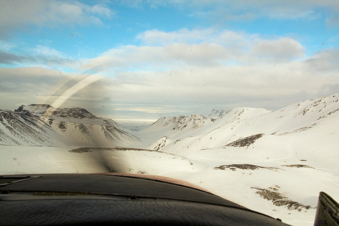
Bláfjöll (Icelandic pronunciation: [ˈplauːˌfjœtl̥], "blue mountains") are a small mountain range in the southwest of Iceland on Reykjanes peninsula at about 30 km from Reykjavík.


They form sort of a double mountain massif to the west and in the east of Jósepsdalur[1] on Hellisheiði.[2]
Remove ads
Geography
The mountain massif has a length of about 9 km. The western part includes Vífilsfell as well as Bláfjallahorn [ˈplauːˌfjatlaˌhɔ(r)tn̥], the eastern one reaches from Sauðadalahnúkur [ˈsœyːðaˌtaːlaˌn̥uːkʏr̥] to Kerlingarhnúkur [ˈcʰɛ(r)tliŋkarˌn̥uːkʏr̥].[1] The highest mountain is Hákollur [ˈhauːˌkʰɔtlʏr̥] (685 m).[1]
Geology
The Bláfjöll are Pleistocene subglacial volcanoes and part of the Brennisteinsfjöll volcanic system.[3]
Winter sports
The area is the most popular ski resort for the inhabitants of Iceland's Capital City Area.[2]
The winter sports area is situated at elevations between 460 and 700 m.[4]
15 km of easy and intermediate slopes for skiing and snowboarding as well as 15 lifts (tow lifts and chair lifts) are available as well as possibilities for night skiing.[4] Cross country skiing is also possible.[5] Two huts with accommodation and restaurant provide service for the guests. All this makes it the largest ski resort in Iceland.[4]
Accessibility
From Reykjavík the Hringvegur is followed in southern direction, at the airfield of Sandskeið taken the Route 417 in direction of Hafnarfjörður/Bláfjöll, but up on the lava plateau turned left into the short Bláfjallavegur/Route 407. It leads directly to the mountains and the skiing area.[6]
Nature protection
Part of the mountain range is protected since 1973 as Bláfjallafólkvangur. [ˈplauːˌfjatlaˌfoul̥kˌvauŋkʏr̥][2]
See also
External links
References
Wikiwand - on
Seamless Wikipedia browsing. On steroids.
Remove ads
